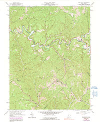
2023 Map of MacFarlan
USGS Topo · Published 2023About this map
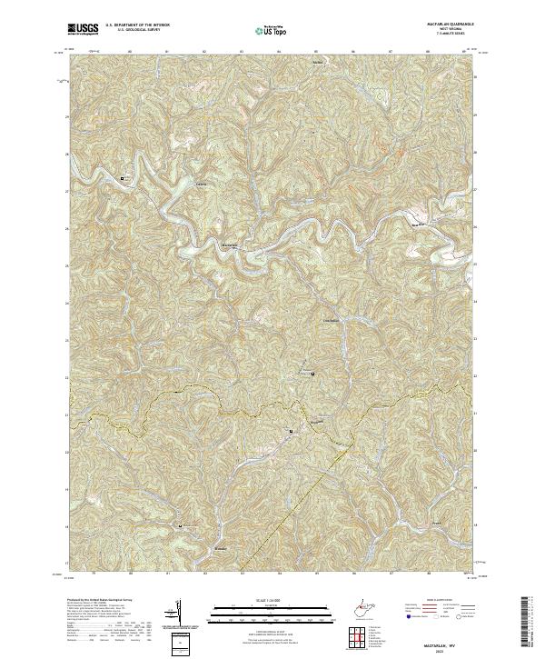
The South Fork Hughes River meanders across this West Virginia terrain, carving a deep path through the highlands of Ritchie, Wirt, and Calhoun Counties. The settlement of Macfarlan serves as a central point in this landscape of ridges and runs, where the river meets Macfarlan Creek and Dutchman Run. This area is defined by its small, scattered communities like Beatrice, Brohard, and Munday, which are connected by a network of winding county roads such as Cedar Grove Rd and Indian Creek Farm Rd.
Find a feature on this map
66 named features on this map. Tap any name to fly to it.
Don’t see what you’re looking for? This feature index may not catch every label — zoom into the map to look around manually.
Map Details
Editions of this 2023 MacFarlan Map
This is the sole edition of this map. No revisions or reprints were ever made.
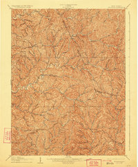
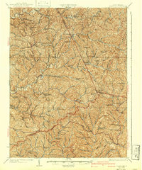
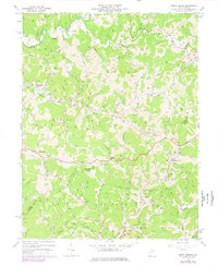
Historical Maps of Macfarlan Through Time
9 maps found