Old Maps of Flint Town, West Virginia for Academic Research
Study the evolution of Flint Town with 13 high-resolution historic maps. Whether you're teaching, researching, or modeling changes in land use, these maps provide essential visual documentation of urban, environmental, and geographic change.
- Analyze long-term change: Track patterns in development, transportation, and natural features.
- Ideal for environmental or urban studies: Support academic projects with primary historical map data.
- Use in the classroom or lab: Educators and researchers rely on these maps to bring historical context to life.
These maps are a powerful tool for teaching, research, and visualizing how Flint Town has changed over the decades.
Flint Town, WV maps
(13)- 1906 Map of Walton, 1961 Print
 1906 Walton1961 Print · USGSRoane County at the dawn of the twentieth century shows a landscape of river-fed valleys and milling hamlets. Genealogists can trace family roots through historic settlements like Walton, Gandeeville, and Looneyville or locate long-standing landmarks like Mt Hermon Church.
 - 1907 Map of Walton
 1907 Walton1907 Print · USGSRoane County at the dawn of the twentieth century is a landscape of winding river valleys and isolated hilltop settlements. Genealogists and historians can trace family-named landmarks and early industry at Shamblings Mills, Osbornes Mills, and Mt Hermon Church.3 unique versions available
 - 1954 Map of Charleston
 1954 Charleston1954 Print · USGSWest Virginia’s industrial heart and mountain highlands are captured here during the mid-fifties, centered on the capital city. Researchers can trace historic river-and-rail corridors along the Kanawha River and locate remote peaks within the Monongahela National Forest.
 - 1957 Map of Walton, 1959 Print
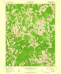 1957 Walton1959 Print · USGSMid-century Roane County reveals a landscape of ridge-top schools and creek-bottom settlements before modern highway expansion. Genealogists and researchers can trace family landmarks like Gandee Cem, Looney Cem, and the community hub at Walton High Sch.3 unique versions available
 - 1957 Map of Charleston, 1966 Print
 1957 Charleston1966 Print · USGSMid-century West Virginia unfolds along the industrial Kanawha River valley and into the high Allegheny Mountains. Genealogists and historians can trace the vital rail lines of the Chesapeake and Ohio and locate riverside settlements from Saint Albans to Buckhannon.3 unique versions available
 - 1958 Map of Charleston
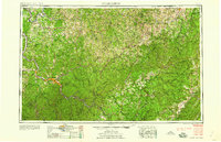 1958 Charleston1958 Print · USGSMid-century West Virginia is defined here by the industrial corridor of the Kanawha River and the high ridges of the Allegheny Mountains. Researchers can trace the rail networks of the New York Central or locate remote highland communities like Pickens and Hillsboro.
 - 1961 Map of Charleston
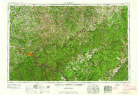 1961 Charleston1961 Print · USGSWest Virginia's capital region and the highlands to the east are shown in detail during the early sixties. Genealogists and historians can trace rail networks like the Baltimore and Ohio RR and find early state parks such as Watoga State Park.
 - 1984 Map of Ripley
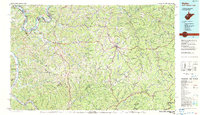 1984 Ripley1984 Print · USGSThe West Virginia riverfront and interior highlands are captured here in the mid-eighties as energy production reshaped the landscape. Researchers can trace the Ohio River industrial corridor through Ravenswood or locate smaller inland communities like Gandeeville and Reedy.
 - 2011 Map of Walton, 2011 Print
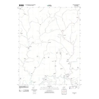 2011 Walton2011 Print · USGSRoane County's intricate valley systems are documented here in the early twenty-first century, centered on the Pocatalico River and the settlement of Walton. Family historians can locate several rural burial sites and service hubs like the Gandeeville Post Office and Canterbury Cemetery.
 - 2014 Map of Walton, 2014 Print
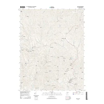 2014 Walton2014 Print · USGSRoane County's intricate network of hollows and ridges comes into focus in the 2010s, centered on the community of Walton. Family historians can trace local landmarks like Kee Ridge and Huckleberry Knob alongside burial sites at Gandeeville Cem and Looney Cem.
 - 2016 Map of Walton, 2016 Print
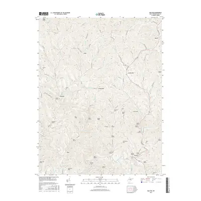 2016 Walton2016 Print · USGSThe Pocatalico River valley and the ridges of Roane County are captured here in the mid-2010s. Researchers can locate family landmarks like Droddy Cem, Huckleberry Knob, and the small settlement of Gandeeville.
 - 2019 Map of Walton, 2019 Print
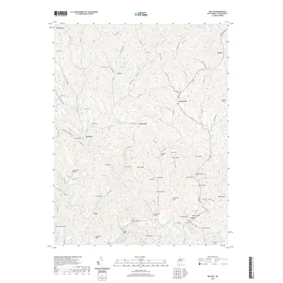 2019 Walton2019 Print · USGSThe Roane County hills come into focus in this recent survey, showcasing the enduring rural character of West Virginia's interior. Genealogists can locate family-named sites like Droddy Hollow, Whited Cem, and the settlement of Gandeeville.
 - 2023 Map of Walton, 2023 Print
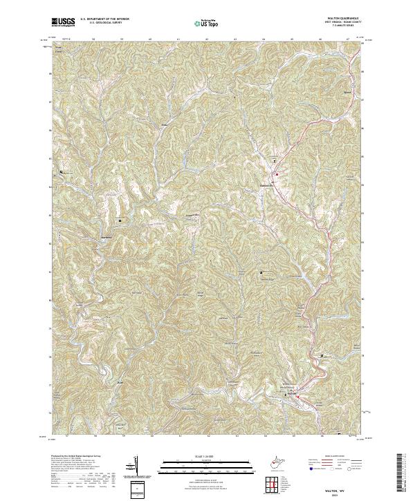 2023 Walton2023 Print · USGSRoane County's winding valleys and ridge systems are documented here in the early 2020s, centered on the community of Walton. Family historians can trace local legacies through numerous cemeteries and hollows, including Droddy Cem, Looney Cem, and Sam Shafer Hollow.
End of results
Showing maps 1-13 of 13
Top cities near Flint Town
Frequently asked questions
- What are the different types of historical maps available for Flint Town?
- What is the oldest map of Flint Town?
- Where can I purchase historical maps of Flint Town for my home or office?
- Where can I download high-res historical maps of Flint Town?
- Are there historical topographic maps available for Flint Town?
- Is there historical aerial imagery available for Flint Town?
- Where are historical maps of Flint Town sourced from?