Old Maps of Deep Valley, West Virginia for Academic Research
Study the evolution of Deep Valley with 15 high-resolution historic maps. Whether you're teaching, researching, or modeling changes in land use, these maps provide essential visual documentation of urban, environmental, and geographic change.
- Analyze long-term change: Track patterns in development, transportation, and natural features.
- Ideal for environmental or urban studies: Support academic projects with primary historical map data.
- Use in the classroom or lab: Educators and researchers rely on these maps to bring historical context to life.
These maps are a powerful tool for teaching, research, and visualizing how Deep Valley has changed over the decades.
Deep Valley, WV maps
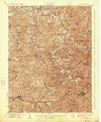
(15)- 1905 Map of West Union
 1905 West Union1905 Print · USGSDoddridge and Tyler Counties come to life at the turn of the century as the railroad and river define the local economy. Genealogists can trace family footprints near Josephs Mills, The Jug, and the early post offices at Little PO and Centerville Alma PO.2 unique versions available
 - 1924 Map of West Union, 1961 Print
 1924 West Union1961 Print · USGSThe hills of Tyler and Doddridge Counties are shown here during the mid-twenties, centered on the winding Middle Island Creek and the busy rail corridor. Genealogists can trace family landmarks like Mole Hill, Josephs Mills, and dozens of local schools from Rising Sun to Chestnut Grove.
 - 1926 Map of West Union
 1926 West Union1926 Print · USGSDoddridge and Tyler counties are captured here in the mid-1920s, showing a landscape of ridge-top farms and creek-bottom settlements. You can trace the Baltimore and Ohio rail line or locate ancestral sites like Josephs Mills, Mole Hill, and Rising Sun School.3 unique versions available
 - 1949 Map of Clarksburg
 1949 Clarksburg1949 Print · USGSThe upper Ohio River valley and the industrial heart of West Virginia come into focus during this post-war period. Genealogists and researchers can trace the rail corridors of the Baltimore and Ohio and locate centers like Fairmont, Grafton, and Waynesburg.
 - 1956 Map of Clarksburg, 1966 Print
 1956 Clarksburg1966 Print · USGSThe Ohio River valley and the industrial heart of West Virginia are seen here in the mid-1950s as rail and river commerce thrived. Researchers can trace historic transport lines like the Baltimore and Ohio RR and locate ancestral homes in Clarksburg, Moundsville, or Parkersburg.2 unique versions available
 - 1961 Map of Clarksburg
 1961 Clarksburg1961 Print · USGSThe mid-century industrial and river landscapes of West Virginia and Ohio are detailed here, centered on the Ohio River. Researchers can trace the Baltimore and Ohio rail lines connecting towns like Parkersburg, Clarksburg, and Monongah.
 - 1961 Map of West Union, 1963 Print
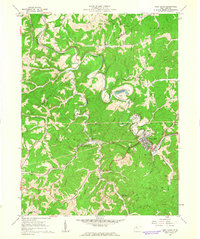 1961 West Union1963 Print · USGSDoddridge County in the early sixties centers on the rail-and-river hub of West Union and the small valley settlements that surround it. Trace family roots and old homesteads near Nutter Fork Ch, Central Station, and the Pigott Cem.3 unique versions available
 - 1976 Map of West Union, 1978 Print
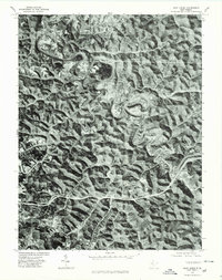 1976 West Union1978 Print · USGSDoddridge County comes into sharp focus during the mid-1970s, showcasing the winding valleys and ridge-top life of this West Virginia region. Researchers can trace the sharp meanders of Middle Island Creek and locate historic centers like West Union and Central Station.
 - 1982 Map of Clarksburg, 1983 Print
 1982 Clarksburg1983 Print · USGSNorth Central West Virginia in the early eighties reveals a landscape deeply connected to its coal and gas resources. Genealogists and researchers can trace family landmarks and historical settlements from Clarksburg to Buckhannon, or locate sites like Quiet Dell and Watters Smith Memorial State Park.
 - 1988 Map of Clarksburg, 1989 Print
 1988 Clarksburg1989 Print · USGSThe central Appalachians are documented in detail during the late eighties, showing the industrial and river-based economies of West Virginia, Ohio, and Pennsylvania. Researchers can trace historic rail routes like the B & O RR and locate river towns from St Marys to Parkersburg.
 - 2011 Map of West Union, 2011 Print
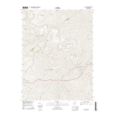
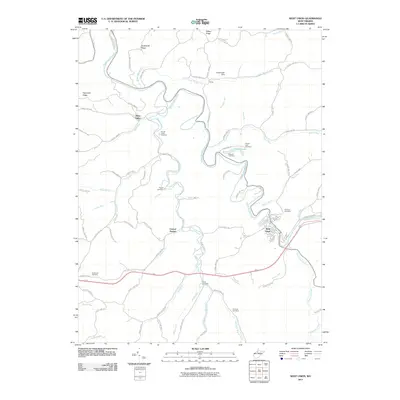 2011 West Union2011 Print · USGSCovers Deep Valley, including West Union, Central Station, and other nearby areas
 - 2014 Map of West Union, 2014 Print
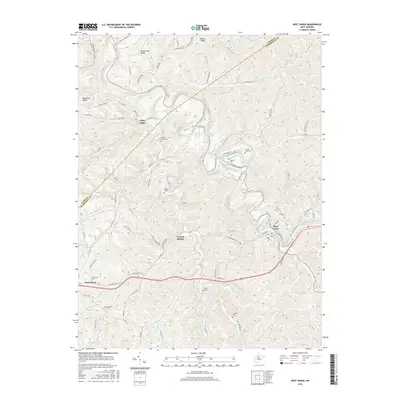
 2014 West Union2014 Print · USGSCovers Deep Valley, including West Union, Central Station, and other nearby areas
 - 2016 Map of West Union, 2016 Print
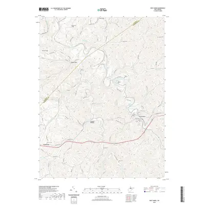
 2016 West Union2016 Print · USGSCovers Deep Valley, including West Union, Central Station, and other nearby areas
 - 2019 Map of West Union, 2019 Print
 2019 West Union2019 Print · USGSCovers Deep Valley, including West Union, Central Station, and other nearby areas
 - 2023 Map of West Union, 2023 Print
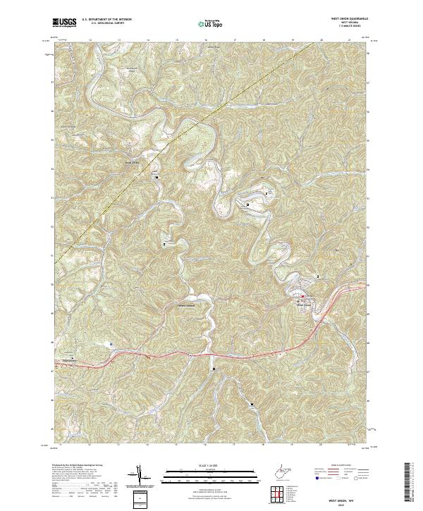 2023 West Union2023 Print · USGSDoddridge County in the 2020s remains a landscape of deep hollows and historic river towns. Genealogists and hikers can trace the North Bend Rail-Trl past the Doddridge County Courthouse or locate family sites like Arnold Creek Cem and Piggott Cem.
End of results
Showing maps 1-15 of 15
Top cities near Deep Valley
- Harrisville historical maps
- Sistersville historical maps
- Pennsboro historical maps
- New Matamoras historical maps
- Middlebourne historical maps
- West Union historical maps
See more
Frequently asked questions
- What are the different types of historical maps available for Deep Valley?
- What is the oldest map of Deep Valley?
- Where can I purchase historical maps of Deep Valley for my home or office?
- Where can I download high-res historical maps of Deep Valley?
- Are there historical topographic maps available for Deep Valley?
- Is there historical aerial imagery available for Deep Valley?
- Where are historical maps of Deep Valley sourced from?