Loading...
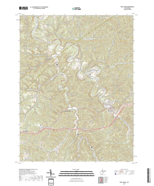
Loading map...2023 Map of West Union
USGS Topo · Published 2023About this map
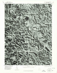
The Doddridge County Courthouse stands as the central landmark in West Union, situated along the meandering banks of Middle Island Creek. This 2023 survey illustrates the modern layout of the county seat, where traditional settlements like Central Station, Duckworth, and Deep Valley are linked by a dense network of secondary roads and the recreational North Bend Rail-Trl.
Find a feature on this map
80 named features on this map. Tap any name to fly to it.
Don’t see what you’re looking for? This feature index may not catch every label — zoom into the map to look around manually.
Map Details
Date Portrayed2023
Date Published2023
PublisherU.S. Geological Survey
Map TypeTopographic
Scale1:24000
Physical Dimensions24 x 29 inches
Editions of this 2023 West Union Map
This is the sole edition of this map. No revisions or reprints were ever made.
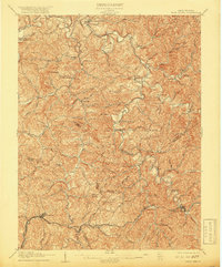
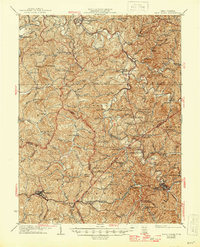
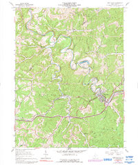
Historical Maps of Deep Valley Through Time
6 maps found

Featured Locations
Source Details
SourceU.S. Geological Survey
CopyrightPublic Domain