Old Maps of Wayne, West Virginia for Hiking & Exploration
Hike through history with 23 historic maps of Wayne. Explore old trails, ghost towns, and forgotten backroads — perfect for outdoor adventurers and local explorers.
- Rediscover forgotten places: Map out old mining camps, roads, and footpaths that no longer exist on modern maps.
- Layer with modern tools: Combine with LiDAR or satellite views to plan hikes through historical terrain.
- Made for exploration: Popular among hikers, overlanders, and local history lovers.
Use these maps to find adventure and explore the hidden past of Wayne.
Wayne, WV maps
(23)- 1892 Map of Huntington, 1895 Print
 1892 Huntington1895 Print · USGSWest Virginia and Ohio meet along the river in the late nineteenth century, showing the rail-fueled growth of Huntington and Wayne. Local historians can trace the paths of the Chesapeake and Ohio Railroad past Barboursville and find early landmarks like Blue Sulphur Sp's and Davis Mill.
 - 1898 Map of Huntington
 1898 Huntington1898 Print · USGSNear the turn of the century, the Ohio River valley was transforming through the expansion of the Chesapeake and Ohio RR. Modern researchers can trace early nineteenth-century settlements from the bustling streets of Huntington to the inland hubs of Hamlin and Barboursville.3 unique versions available
 - 1901 Map of Guyandot, 1953 Print
 1901 Guyandot1953 Print · USGSThe Ohio River valley at the start of the twentieth century shows a bustling corridor of industry and river commerce. Genealogists and historians can trace the early footprints of Huntington and Ceredo alongside early rail routes like the Baltimore and Ohio RR.
 - 1902 Map of Guyandot
 1902 Guyandot1902 Print · USGSThe industrial hub of Huntington and the river town of Guyandot sit at the center of this early century border survey. Genealogists can trace family names and small settlements along Twelvepole Creek and Russell Creek, including Lavalette, Shoals, and Dickson.4 unique versions available
 - 1909 Map of Wayne
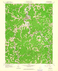
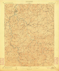 1909 Wayne1909 Print · USGSWayne County is shown in the first decade of the century, when the rail-and-river network dictated the rhythm of local life. Researchers can trace family roots through numerous post offices and rural settlements like Sidney PO, East Lynn, and Genoa along the Twelvepole Creek.2 unique versions available
 - 1931 Map of Wayne, 1956 Print
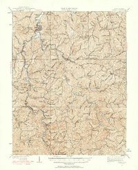 1931 Wayne1956 Print · USGSThe West Virginia hills near the Kentucky border are shown here in the early 1930s, centered on the Wayne county seat. Researchers can find numerous country schools and small rail stops along the Norfolk and Western Ry, including Genoa, Radnor, and the Quaker PO.
 - 1941 Map of Wayne
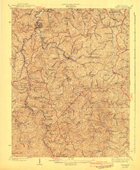 1941 Wayne1941 Print · USGSWayne County and the surrounding ridges are captured here in the early 1940s, showing a landscape defined by hollows and isolated schools. Genealogists can trace family connections through numerous landmarks like Bethesda Ch, Marshall Sch, and the Norfolk and Western RR line.
 - 1957 Map of Lavalette, 1959 Print
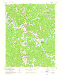
 1957 Lavalette1959 Print · USGSWayne County's winding hollows come alive in the late fifties as rail lines and creekside settlements define the valley landscape. Researchers can pinpoint specific family landmarks and local institutions like Florence Memorial Ch, Mays Cem, and Dickson Falls.2 unique versions available
 - 1957 Map of Huntington, 1966 Print
 1957 Huntington1966 Print · USGSThe industrial heart of the Ohio River valley is captured here in the mid-sixties, showing the growth of Huntington and Ashland. Researchers can trace the extensive rail networks of the Chesapeake and Ohio RR and locate sites like the Chief Cornstalk Hunting Ground.3 unique versions available
 - 1960 Map of Huntington
 1960 Huntington1960 Print · USGSThe tri-state river valley thrived in the late fifties as a hub of heavy industry and Appalachian rail transit. Genealogists and historians can trace the connection between river towns like Ashland and Portsmouth or locate family homesteads near Coleman Ridge.
 - 1962 Map of Wayne, 1963 Print
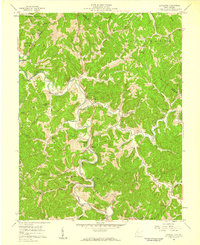
 1962 Wayne1963 Print · USGSWayne County in the early sixties was a landscape defined by the winding Twelvepole Creek and a network of small mining and rail communities. Genealogists can locate family burial sites like Stephens Cem and Crockett Cem or trace rural landmarks like Kennedy Chapel.3 unique versions available
 - 1972 Map of Lavalette, 1974 Print
 1972 Lavalette1974 Print · USGSWayne County was undergoing significant change in the early seventies as new water management projects took shape. Genealogists and local historians can trace the foundations of Lavalette and Dickson before the rise of Beech Fork Lake submerged the valley.3 unique versions available
 - 1982 Map of Huntington, 1983 Print
 1982 Huntington1983 Print · USGSThe tri-state region around Huntington and Ashland is shown in the early 1980s, documenting a landscape shaped by river commerce and coal-country railroads. Trace family roots and old routes through Barboursville, the Gas Field, and the Tug Fork valley.
 - 2011 Map of Lavalette, 2011 Print
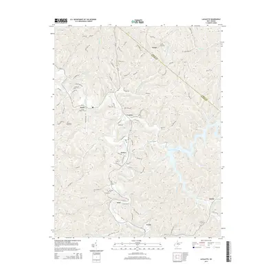
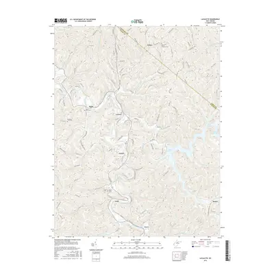
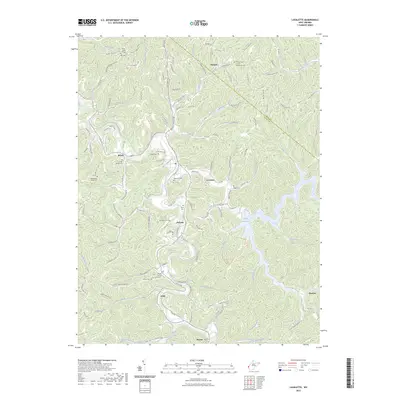
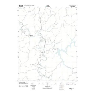 2011 Lavalette2011 Print · USGSCovers Wayne, including Shoals, Hodges, and other nearby areas
 - 2011 Map of Wayne, 2011 Print
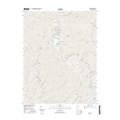
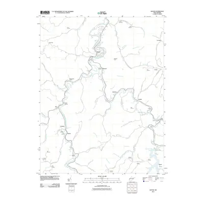 2011 Wayne2011 Print · USGSCovers Wayne, including Bethesda, Crockett, and other nearby areas
 - 2014 Map of Wayne, 2014 Print
 2014 Wayne2014 Print · USGSCovers Wayne, including Bethesda, Crockett, and other nearby areas
 - 2014 Map of Lavalette, 2014 Print
 2014 Lavalette2014 Print · USGSCovers Wayne, including Shoals, Hodges, and other nearby areas
 - 2016 Map of Lavalette, 2016 Print
 2016 Lavalette2016 Print · USGSCovers Wayne, including Shoals, Hodges, and other nearby areas
 - 2016 Map of Wayne, 2016 Print
 2016 Wayne2016 Print · USGSCovers Wayne, including Bethesda, Crockett, and other nearby areas
 - 2019 Map of Lavalette, 2019 Print
 2019 Lavalette2019 Print · USGSCovers Wayne, including Shoals, Hodges, and other nearby areas
 - 2019 Map of Wayne, 2019 Print
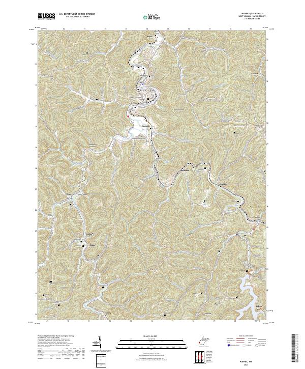
 2019 Wayne2019 Print · USGSCovers Wayne, including Bethesda, Crockett, and other nearby areas
 - 2023 Map of Wayne, 2023 Print
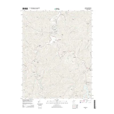
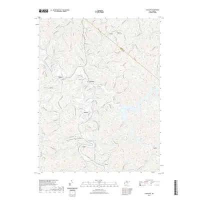
 2023 Wayne2023 Print · USGSWayne and its surrounding hollows are captured in this contemporary survey of West Virginia's ridge-and-valley landscape. Genealogists can locate numerous family burial sites, including Bailey Cem and Stephens Cem, along the banks of Twelvepole Creek.
 - 2023 Map of Lavalette, 2023 Print
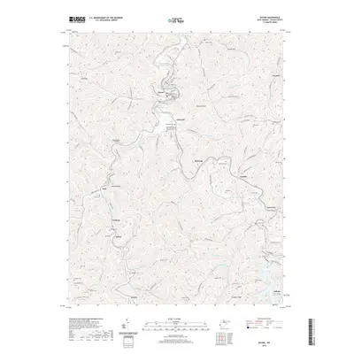
 2023 Lavalette2023 Print · USGSWayne County’s winding valleys and the shores of Beech Fork Lake are captured here in the early 2020s. Local researchers can trace family lineages through many sites like Luther Bowen Cem, Mount Union Church, and the settlement at Lavalette.
End of results
Showing maps 1-23 of 23
Top cities near Wayne
- Huntington historical maps
- Ashland historical maps
- Rome historical maps
- South Point historical maps
- Kenova historical maps
- Barboursville historical maps
See more
Frequently asked questions
- What are the different types of historical maps available for Wayne?
- What is the oldest map of Wayne?
- Where can I purchase historical maps of Wayne for my home or office?
- Where can I download high-res historical maps of Wayne?
- Are there historical topographic maps available for Wayne?
- Is there historical aerial imagery available for Wayne?
- Where are historical maps of Wayne sourced from?