2010s Maps of Wetzel County, West Virginia
Explore 52 historic maps of Wetzel County from the 2010s. These maps offer a rare glimpse into what life looked like during the 2010s — showing old roads, neighborhoods, homes, and landmarks that have changed or disappeared over time.
Whether you're researching your family's past, planning a metal detecting trip, or studying how Wetzel County's landscape evolved across the 2010s, these high-resolution maps are a powerful tool for exploring the history of this region.
- Focus on a specific era: All maps on this page are from the 2010s, giving you a focused view of this time period.
- See what’s changed: Compare century-old streets, trails, and buildings to today's modern landscape using overlays and satellite layers.
- Research with precision: Use these maps for genealogy, historical research, land use analysis, or educational projects.
- View, download, or print: Maps are fully viewable online in high resolution, and can be downloaded or printed for your own records.
Start exploring Wetzel County's history through authentic maps from the 2010s. This is your window into the past.
Wetzel County, WV maps
(52)- 2011 Map of Wileyville, 2011 Print
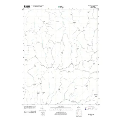 2011 Wileyville2011 Print · USGSWetzel County's ridges and hollows are documented in the early twenty-first century, showing the enduring rural character of the region. Genealogists can trace family heritage through numerous burial sites like Saint Josephs Cemetery and Kirkland Cemetery or locate old homesteads near Millsboro.
 - 2011 Map of Hundred, 2011 Print
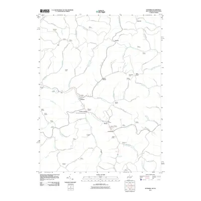 2011 Hundred2011 Print · USGSWetzel County's rugged ridge country and creek valleys are captured here at the start of the 21st century. Researchers can trace numerous family burial sites like McNicholas Cemetery and locate landmarks such as the Fish Creek Covered Bridge.
 - 2011 Map of Big Run, 2011 Print
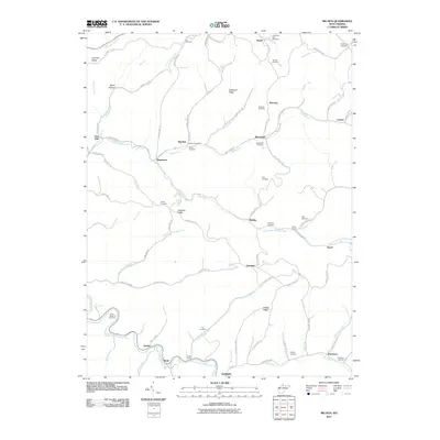 2011 Big Run2011 Print · USGSWetzel County settlements and family burial grounds are meticulously documented in this early twenty-first-century survey. Genealogists can locate family landmarks such as Allen Chapel, the Big Run Post Office, and the Ice Cemetery.
 - 2011 Map of Glover Gap, 2011 Print
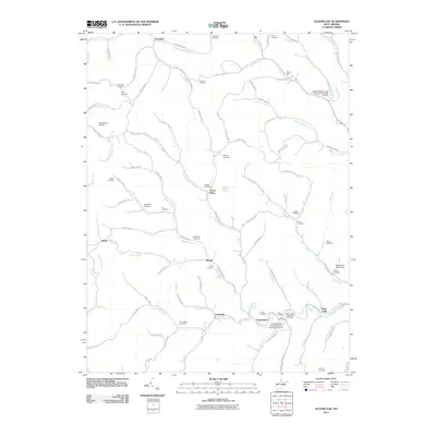 2011 Glover Gap2011 Print · USGSMarion County's rural hollows are captured here in the early twenty-first century, showing a landscape shaped by narrow runs and family legacies. Genealogists can trace dozens of burial sites like Mannington Memorial Cemetery and the Snider Cemetery near Curtisville.
 - 2011 Map of Porters Falls, 2011 Print
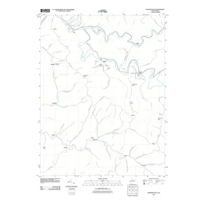 2011 Porters Falls2011 Print · USGSWest Virginia's Tyler County hills are captured here in the early twenty-first century, showing a landscape defined by deep runs and ancestral family cemeteries. Genealogists can trace sites like Mount Hope Cemetery and Simpson Cemetery near settlements like Porters Falls and Lonetree.
 - 2011 Map of Folsom, 2011 Print
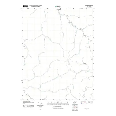 2011 Folsom2011 Print · USGSWetzel County's narrow valleys and winding creeks are captured here at the start of the 2010s. Genealogists and local researchers can trace family roots through several burial sites including Stout Cemetery, Dye Cemetery, and the Folsom Post Office.
 - 2011 Map of New Martinsville, 2011 Print
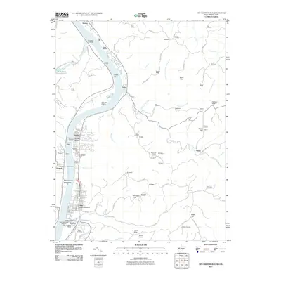 2011 New Martinsville2011 Print · USGSThe Ohio River waterfront at New Martinsville and Hannibal is captured here during the early twenty-first century. Genealogists and historians can trace numerous upland burial sites like Moore Cemetery or locate river landmarks such as Hooks Bar and the New Martinsville Seaplane Base.
 - 2011 Map of Pine Grove, 2011 Print
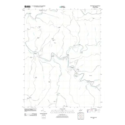 2011 Pine Grove2011 Print · USGSWetzel County's creek-valley communities are captured here in the early twenty-first century as they wind through the high ridges. Genealogists can locate several hilltop burials and family landmarks, including the Knights of Pythias Cemetery, Jacksonburg Post Office, and Mylburn Cemetery.
 - 2011 Map of Wallace, 2011 Print
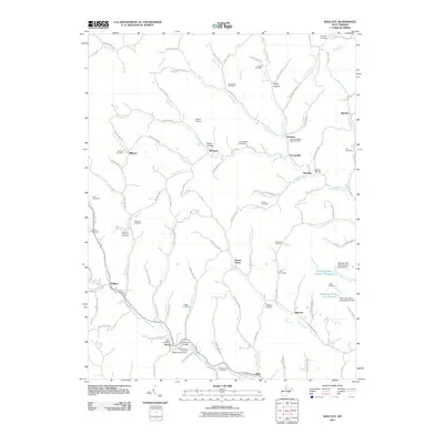 2011 Wallace2011 Print · USGSIn this corner of northern West Virginia, small communities like Wallace and Brown are tied together by a dense network of country roads and winding creeks. Genealogists can locate numerous burial sites including the Independent Order of Oddfellows Cemetery, Swiger Cemetery, and Rittenhouse Cemetery.
 - 2011 Map of Center Point, 2011 Print
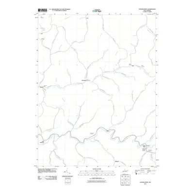 2011 Center Point2011 Print · USGSDoddridge County and the surrounding hills are captured here in the early 21st century, showing a landscape defined by winding creeks and rural crossroads. Researchers can trace family history through sites like Underwood Cemetery and the Center Point Covered Bridge.
 - 2011 Map of Littleton, 2011 Print
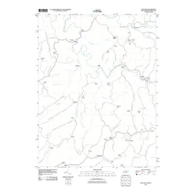 2011 Littleton2011 Print · USGSThe West Virginia-Pennsylvania borderlands are captured here just after the turn of the millennium, showing a landscape defined by ridges and creek forks. Genealogists can locate numerous burial sites like McCabe Cemetery and Strosnider Hill Cemetery or trace rail history at Board Tree Tunnel.
 - 2011 Map of Round Bottom, 2011 Print
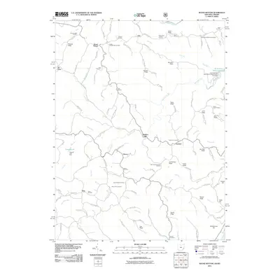 2011 Round Bottom2011 Print · USGSMonroe County and the Ohio River borderlands are shown here in the early twenty-first century, revealing a landscape deeply rooted in family history. Researchers can trace numerous local lineages through sites like Winklers Mill, Kraft Cemetery, and Mount Zion Cemetery.
 - 2011 Map of Paden City, 2011 Print
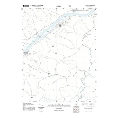 2011 Paden City2011 Print · USGSThe Ohio River valley in the early twenty-first century reveals a landscape of industrial river towns and deep-hollow settlements. Genealogists and local historians can trace family roots through numerous sites like Oakwood Cemetery, the Jackson Township Hall, and the riverfront at Sistersville.
 - 2013 Map of Round Bottom, 2013 Print
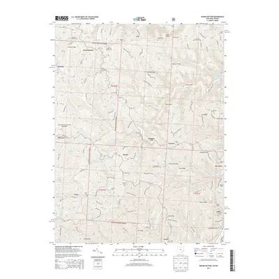 2013 Round Bottom2013 Print · USGSMonroe County's riverfront and ridge-top communities are documented here in the early 21st century, showing the enduring layout of the Ohio River valley. Genealogists can trace family landmarks at Saint Johns Methodist Cem, Emma Grove Cem, and the old settlement at Winklers Mill.
 - 2014 Map of Wileyville, 2014 Print
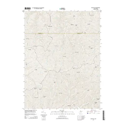 2014 Wileyville2014 Print · USGSThe high ridge-and-hollow country of Wetzel and Marshall counties is captured here in the early twenty-first century. Family history researchers can locate numerous upland burial sites and rural hamlets, from Saint Josephs Cem and Wileyville Cem to Bebee and Millsboro.
 - 2014 Map of Pine Grove, 2014 Print
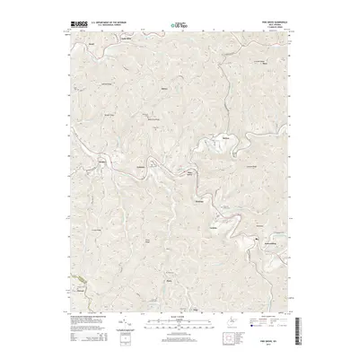 2014 Pine Grove2014 Print · USGSWetzel County's narrow creek valleys and high ridges are shown here in the mid-2010s, centering on the community of Pine Grove. Genealogists and local historians can trace small settlements and family burial grounds like Jacksonburg, Maud, and the Jolliffee Cem.
 - 2014 Map of Littleton, 2014 Print
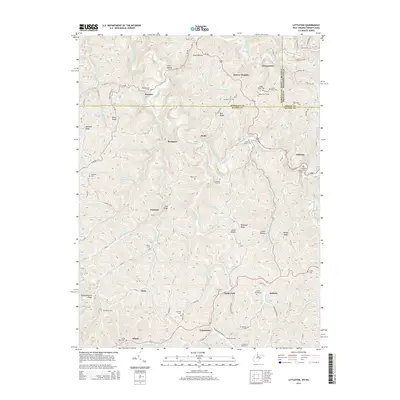 2014 Littleton2014 Print · USGSThe border of West Virginia and Pennsylvania is captured here in the early twenty-first century, showing a landscape shaped by rail and ridge. Genealogists can trace family landmarks like Meadowdale Cem, the Board Tree Tunnel, and settlements such as Uniontown and Littleton.
 - 2014 Map of Big Run, 2014 Print
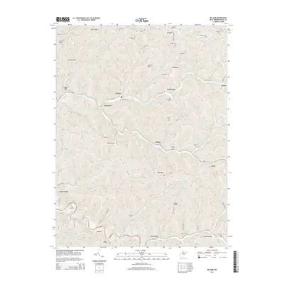 2014 Big Run2014 Print · USGSWetzel County's narrow valleys and high ridges are shown here in the early twenty-first century as a network of small creek-side settlements. Genealogists can trace family roots through numerous hilltop burial grounds like Shuman Cem, Borden Cem, and Chutes Cem.
 - 2014 Map of Wallace, 2014 Print
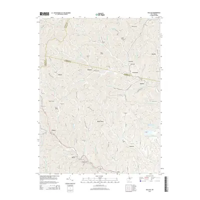 2014 Wallace2014 Print · USGSThe hills of Harrison and Marion counties are captured here in the early twenty-first century. Genealogists can locate family burial grounds like the Scritchfield and Hildreth cemeteries alongside rural settlements such as Wallace, Brown, and Joetown.
 - 2014 Map of Center Point, 2014 Print
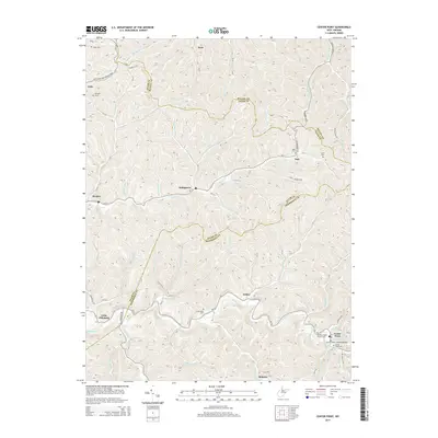 2014 Center Point2014 Print · USGSThe hills of Doddridge and Tyler counties come into focus during this mid-2010s survey, showing the deep-hollow settlements and high ridges of West Virginia. Trace local history at the Center Point Covered Bridge or locate ancestral sites at Underwood Cem and Stringtown.
 - 2014 Map of Folsom, 2014 Print
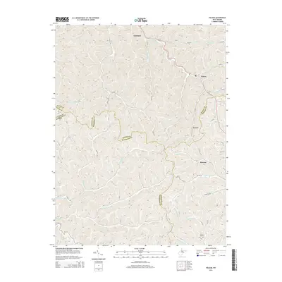 2014 Folsom2014 Print · USGSWetzel County and its neighbors are shown here in the early 2010s, defined by the winding creek valleys of the S Fork Fishing Cr. Researchers can trace old family roots at Stout Cem or Dye Cem and locate the historic centers of Smithfield and Hartzel.
 - 2014 Map of Hundred, 2014 Print
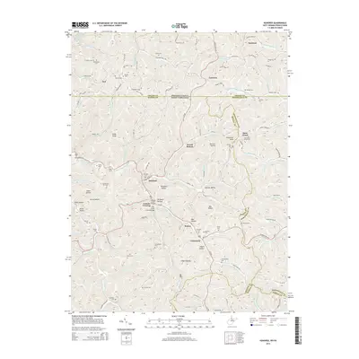 2014 Hundred2014 Print · USGSThe West Virginia-Pennsylvania borderlands come into focus in this recent survey of Wetzel and Monongalia counties. Researchers can locate numerous family burial grounds like Scritchfield Cem and historic spans including the Fish Creek Covered Bridge.
 - 2014 Map of New Martinsville, 2014 Print
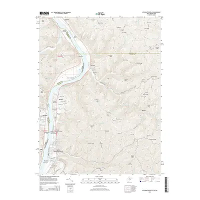 2014 New Martinsville2014 Print · USGSThe Ohio River valley at the border of West Virginia and Ohio is captured here in the early 2010s, showing the riverside growth of New Martinsville and Steelton. Family history researchers can locate numerous upland burial sites and landmarks like Apostolic Christian Cem and Schupbach Ridge.
 - 2014 Map of Glover Gap, 2014 Print
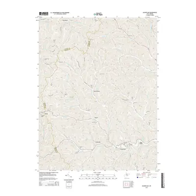 2014 Glover Gap2014 Print · USGSMarion and Wetzel counties are shown here in the 2010s, where small valley settlements and family burial grounds dot the landscape. Genealogists can trace family names at Mannington Memorial Cem, Snodgrass Cem, and Murray Cem near Logansport.
 - 2014 Map of Paden City, 2014 Print
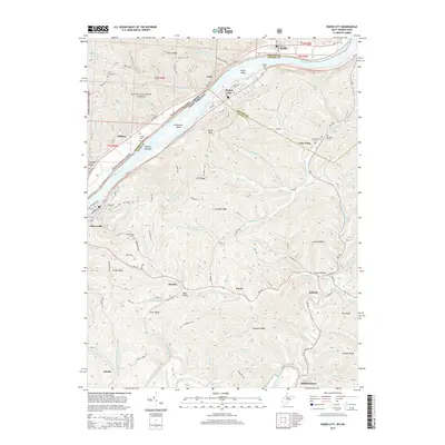 2014 Paden City2014 Print · USGSThe riverfront communities of Sistersville and Paden City are captured here during the early twenty-first century along the banks of the Ohio River. Local historians can trace family locations through numerous sites like Oakwood Cem, Van Camp Cem, and the rural community at Pursley.
Showing maps 1-25 of 52
Top cities of Wetzel County
- New Martinsville historical maps
- Pine Grove historical maps
- Hundred historical maps
- Littleton historical maps
- Smithfield historical maps
Frequently asked questions
- What are the different types of historical maps available for Wetzel County?
- What is the oldest map of Wetzel County?
- Where can I purchase historical maps of Wetzel County for my home or office?
- Where can I download high-res historical maps of Wetzel County?
- Are there historical topographic maps available for Wetzel County?
- Is there historical aerial imagery available for Wetzel County?
- Where are historical maps of Wetzel County sourced from?