Old Maps of Adams, Wisconsin for Academic Research
Study the evolution of Adams with 24 high-resolution historic maps. Whether you're teaching, researching, or modeling changes in land use, these maps provide essential visual documentation of urban, environmental, and geographic change.
- Analyze long-term change: Track patterns in development, transportation, and natural features.
- Ideal for environmental or urban studies: Support academic projects with primary historical map data.
- Use in the classroom or lab: Educators and researchers rely on these maps to bring historical context to life.
These maps are a powerful tool for teaching, research, and visualizing how Adams has changed over the decades.
Adams, WI maps
(24)- 1957 Map of Madison, 1967 Print
 1957 Madison1967 Print · USGSSouth-central Wisconsin in the mid-fifties reveals a landscape of industrial hubs and glacial lakes linked by a dense rail and highway network. Genealogists and historians can trace the development of lakeside communities and find notable sites like Badger Ordnance Works and the Horicon National Wildlife Refuge.3 unique versions available
 - 1960 Map of Madison
 1960 Madison1960 Print · USGSCentral and Southern Wisconsin are captured in the late fifties, showing the region as its rail-and-river network matured. Trace the paths of the Soo Line RR or locate family roots near Lake Mendota and Horicon National Wildlife Refuge.2 unique versions available
 - 1961 Map of Oxford, 1963 Print
 1961 Oxford1963 Print · USGSMarquette and Adams counties are shown here in the early sixties, a landscape of glacial lakes and small farming townships. Genealogists and historians can trace the locations of St Methodius Ch, Lincoln Sch, and the winding Chicago and North Western rail line.2 unique versions available
 - 1961 Map of Adams, 1963 Print
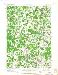
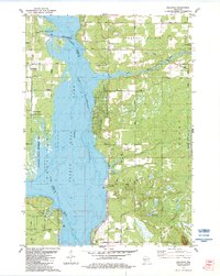
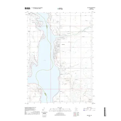
 1961 Adams1963 Print · USGSCentral Wisconsin at the start of the sixties reveals a landscape shaped by the Castle Rock Flowage and prominent glacial mounds. Researchers can locate vanished rural landmarks like Castle Rock Sch, the Woodside Ranch, and historic country cemeteries.2 unique versions available
 - 1979 Map of Grand Marsh
 1979 Grand Marsh1979 Print · USGSGrand Marsh and its surrounding townships are shown here in the late seventies as the Chicago and North Western railway still served the local community. Genealogists can locate family landmarks like St Methodius Ch, Lincoln Sch, and Gould Rock Cem.2 unique versions available
 - 1983 Map of Adams, 1984 Print
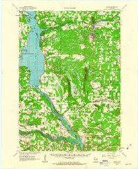
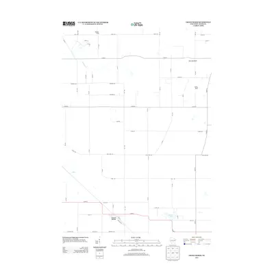
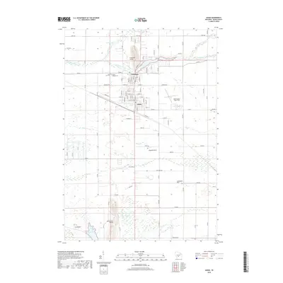
 1983 Adams1984 Print · USGSThe twin settlements of Friendship and Adams are shown in the early eighties as the railroad and the river shaped the local economy. Researchers can locate local burial grounds such as St Leos Cem, trace the Chicago and North Western tracks, or explore the area around Friendship Mound.
 - 1983 Map of Dellwood, 1984 Print
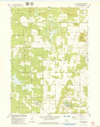
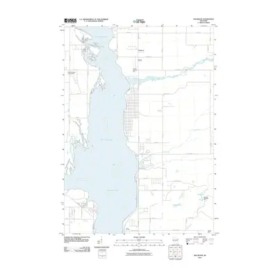
 1983 Dellwood1984 Print · USGSThe Wisconsin River valley in the early 1980s reveals a landscape of recreational growth and quiet lakeside settlements. You can trace the development of Dellwood and locate landmarks like the Quincy Cem, Quincy Bluff, and Our Lady of the Lake.
 - 1985 Map of Wisconsin Dells
 1985 Wisconsin Dells1985 Print · USGSCentral Wisconsin in the mid-eighties was a landscape of intricate river bends, rail junctions, and sprawling marshlands. Researchers can trace historic routes along the Soo Line or locate family landmarks near Lyndon Station, Buffalo Lake, and Puckaway Lake.
 - 1990 Map of Wisconsin Dells, 1991 Print
 1990 Wisconsin Dells1991 Print · USGSCentral Wisconsin's river valleys and lake country are captured in detail here during the late twentieth century. Researchers can trace the rail-and-water geography connecting Wisconsin Dells and Portage with landmarks like Blackhawk Island and Buffalo Lake.
 - 2010 Map of Adams, 2010 Print
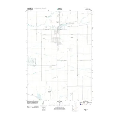 2010 Adams2010 Print · USGSCovers Adams, including Easton, Strongs Prairie, and other nearby areas
 - 2010 Map of Dellwood, 2010 Print
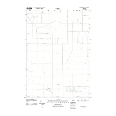
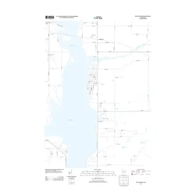
 2010 Dellwood2010 Print · USGSCovers Adams, including Strongs Prairie, Quincy, and other nearby areas
 - 2010 Map of Grand Marsh, 2010 Print
 2010 Grand Marsh2010 Print · USGSCovers Adams, including Easton, Richfield, and other nearby areas
 - 2013 Map of Grand Marsh, 2013 Print
 2013 Grand Marsh2013 Print · USGSCovers Adams, including Easton, Richfield, and other nearby areas
 - 2013 Map of Adams, 2013 Print
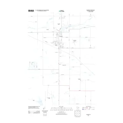 2013 Adams2013 Print · USGSCovers Adams, including Easton, Strongs Prairie, and other nearby areas
 - 2013 Map of Dellwood, 2013 Print
 2013 Dellwood2013 Print · USGSCovers Adams, including Strongs Prairie, Quincy, and other nearby areas
 - 2016 Map of Dellwood, 2016 Print
 2016 Dellwood2016 Print · USGSCovers Adams, including Strongs Prairie, Quincy, and other nearby areas
 - 2016 Map of Adams, 2016 Print
 2016 Adams2016 Print · USGSCovers Adams, including Easton, Strongs Prairie, and other nearby areas
 - 2016 Map of Grand Marsh, 2016 Print
 2016 Grand Marsh2016 Print · USGSCovers Adams, including Easton, Richfield, and other nearby areas
 - 2018 Map of Adams, 2018 Print
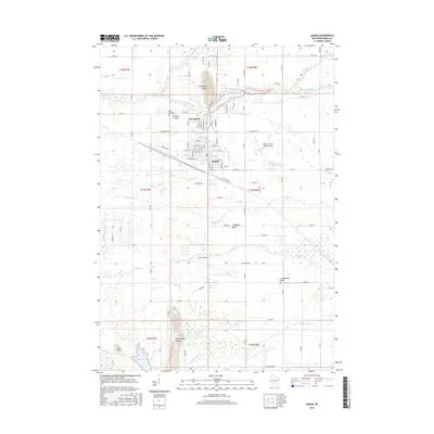
 2018 Adams2018 Print · USGSCovers Adams, including Easton, Strongs Prairie, and other nearby areas
 - 2018 Map of Grand Marsh, 2018 Print
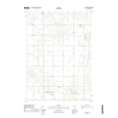 2018 Grand Marsh2018 Print · USGSCovers Adams, including Easton, Richfield, and other nearby areas
 - 2018 Map of Dellwood, 2018 Print
 2018 Dellwood2018 Print · USGSCovers Adams, including Strongs Prairie, Quincy, and other nearby areas
 - 2022 Map of Grand Marsh, 2022 Print
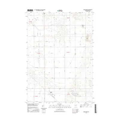
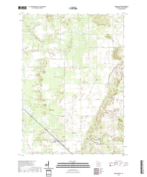 2022 Grand Marsh2022 Print · USGSGrand Marsh and the surrounding Adams County countryside are documented here during the early 2020s, showing a landscape of sandstone bluffs and marshlands. Researchers can locate family sites near Pine Grove Cem or trace the geography of Preston Cliffs and Spring Bluff.
 - 2022 Map of Adams, 2022 Print
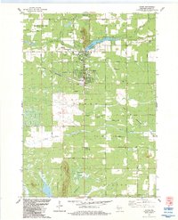
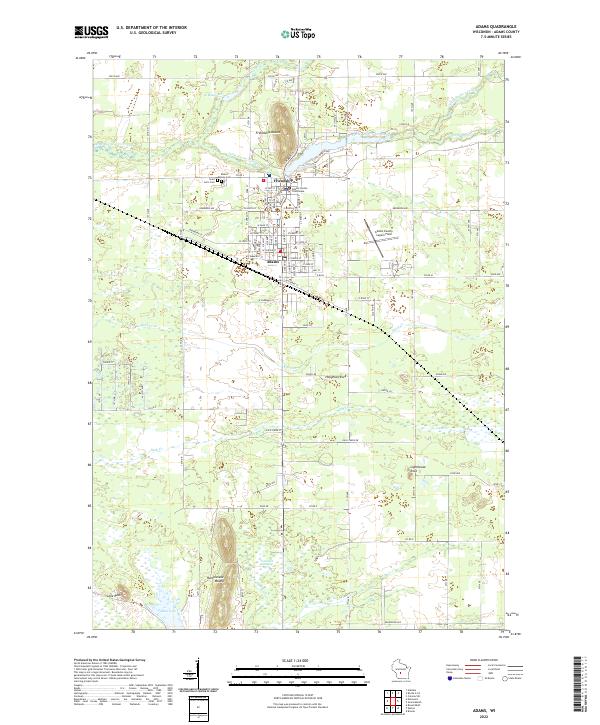 2022 Adams2022 Print · USGSThe adjacent towns of Friendship and Adams are shown in this contemporary study of central Wisconsin, where the Adams County Courthouse and local cemeteries reflect decades of community growth. Researchers can trace landforms like Friendship Mound and Tammarack Swamp, or locate local landmarks including Saint Leo's Cem and Lighthouse Rock.
 - 2022 Map of Dellwood, 2022 Print
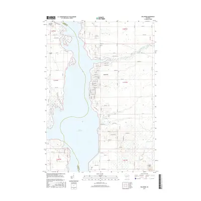
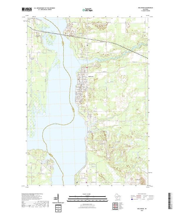 2022 Dellwood2022 Print · USGSDellwood and the eastern shores of Castle Rock Lake are documented here in the early 2020s, showing a mix of lakeside residential growth and traditional marshy lowlands. Genealogists and local historians can locate Dellwood Cem, Quincy Bluff, and the small airfields of Murmuring Springs and Accurate.
End of results
Showing maps 1-24 of 24
Top cities near Adams
- Adams historical maps
- Lemonweir historical maps
- Dell Prairie historical maps
- Easton historical maps
- Lyndon historical maps
- Strongs Prairie historical maps
See more
Frequently asked questions
- What are the different types of historical maps available for Adams?
- What is the oldest map of Adams?
- Where can I purchase historical maps of Adams for my home or office?
- Where can I download high-res historical maps of Adams?
- Are there historical topographic maps available for Adams?
- Is there historical aerial imagery available for Adams?
- Where are historical maps of Adams sourced from?