Old Maps of Big Flats, Wisconsin for Academic Research
Study the evolution of Big Flats with 40 high-resolution historic maps. Whether you're teaching, researching, or modeling changes in land use, these maps provide essential visual documentation of urban, environmental, and geographic change.
- Analyze long-term change: Track patterns in development, transportation, and natural features.
- Ideal for environmental or urban studies: Support academic projects with primary historical map data.
- Use in the classroom or lab: Educators and researchers rely on these maps to bring historical context to life.
These maps are a powerful tool for teaching, research, and visualizing how Big Flats has changed over the decades.
Big Flats, WI maps
(40)- 1955 Map of Green Bay, 1968 Print
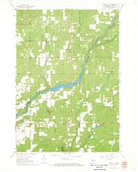
 1955 Green Bay1968 Print · USGSCentral and Eastern Wisconsin are captured here in the mid-fifties, showing the industrial growth of the Fox Valley and Wisconsin River corridors. Genealogists and historians can trace rail lines like the Green Bay and Western through settlements like Weyauwega, Clintonville, and Pulaski.2 unique versions available
 - 1958 Map of Arkdale, 1960 Print
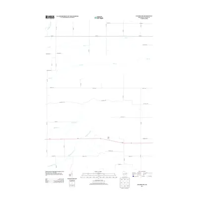
 1958 Arkdale1960 Print · USGSIn the late fifties, the central Wisconsin landscape of Adams County was defined by the massive Petenwell Flowage and rural farming life. Genealogists can trace family names at Violet Lawn Sch, Spring Branch Cem, and the settlement of Arkdale.
 - 1958 Map of Coloma, 1960 Print
 1958 Coloma1960 Print · USGSThe Central Wisconsin sand plains are shown during the late 1950s as small towns like Plainfield and Coloma flourished along the Chicago and North Western rail line. Genealogists can locate rural schoolhouses such as Rathermel Sch and family landmarks like Owens Rock.
 - 1967 Map of Roche A Cri, 1969 Print
 1967 Roche A Cri1969 Print · USGSThe sandstone bluffs and prairie flats of Adams County are captured here in the late sixties, during the peak of the region's mid-century rural development. Trace local landmarks like Rabbit Rock, the Pineland Sch, and the quiet Cottonville Cem along the creek.2 unique versions available
 - 1967 Map of Arkdale NE, 1969 Print
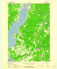
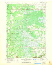
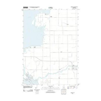
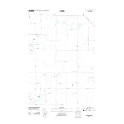
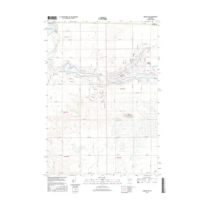
 1967 Arkdale NE1969 Print · USGSCentral Wisconsin in the late 1960s shows a landscape of growing recreational lakes and established rural townships like Rome and Big Flats. Genealogists and local historians can locate Spring Branch Cem, Zion Ch, and the high point at Dorro Couche Lookout Tower.2 unique versions available
 - 1967 Map of Arkdale, 1969 Print
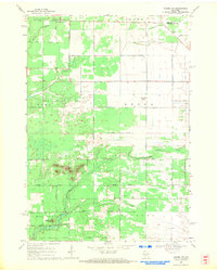
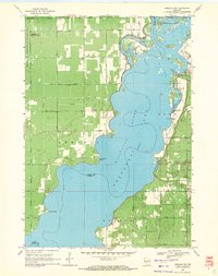
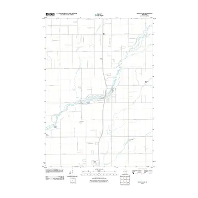
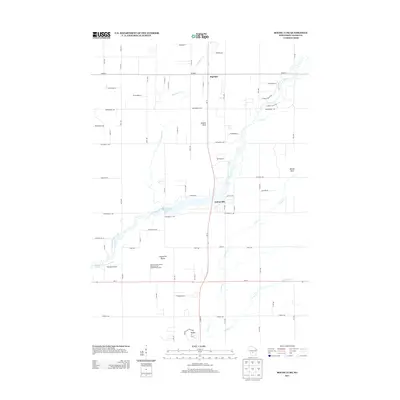
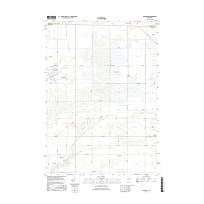
 1967 Arkdale1969 Print · USGSAdams County in the late sixties reveals a landscape transformed by the Wisconsin River reservoirs. Genealogists can locate several local burial grounds including Monroe Center Cem and East Arkdale Cem, or trace the rural road network near Arkdale.3 unique versions available
 - 1968 Map of Coloma NW, 1971 Print
 1968 Coloma NW1971 Print · USGSAdams County land and the Portage County line are shown here in the late sixties as the rural road grid matured. Genealogists and local historians can locate Holliday Cemetery, Coloma-Leola Cemetery, and landmarks like Owens Rock.2 unique versions available
 - 1968 Map of Coloma SW, 1971 Print
 1968 Coloma SW1971 Print · USGSAdams County’s wetland landscapes are captured here in the late sixties, showing the intersection of four townships amidst a network of glacial creeks. Local historians can locate the Indian Cem or trace the geography around Ship Rock and Big Roche a Cri Creek.2 unique versions available
 - 1969 Map of Arkdale NW, 1971 Print
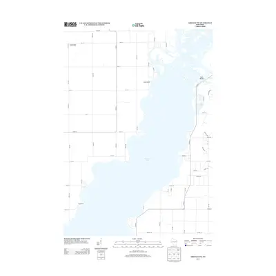
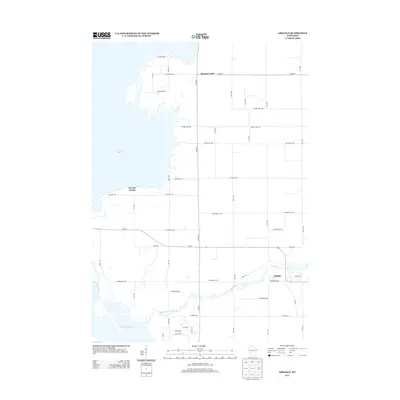
 1969 Arkdale NW1971 Print · USGSThe shorelines of the Wisconsin River define the local landscape during the late sixties, where recreation and military activity exist side-by-side. Trace old landmarks like Cranberry Rock Lookout Tower, the settlement at New Rome, and the expansive National Guard Bombing and Gunnery Range.3 unique versions available
 - 1985 Map of Wisconsin Rapids
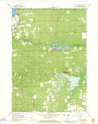
 1985 Wisconsin Rapids1985 Print · USGSCentral Wisconsin in the mid-eighties shows a landscape of engineered waterways and active rail corridors between Wisconsin Rapids and Waupaca. Genealogists and researchers can trace local landmarks like Roche A Cri State Park, the SOO LINE, and small settlements like Coddington or Rudolph.2 unique versions available
 - 2010 Map of Arkdale NE, 2010 Print
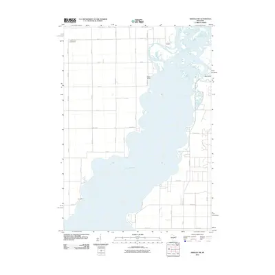
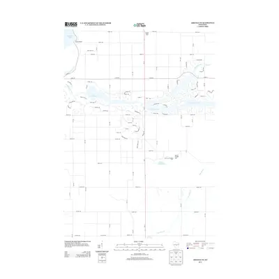
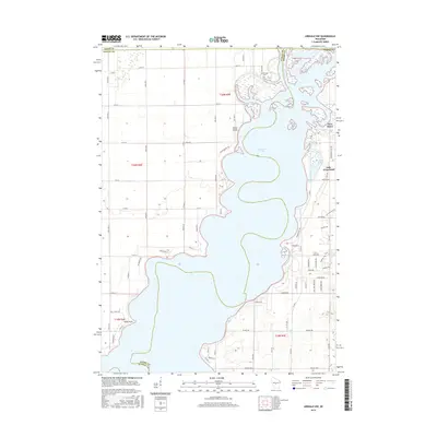
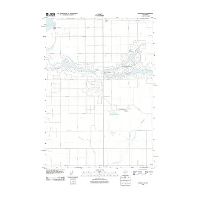 2010 Arkdale NE2010 Print · USGSCovers Big Flats, including Saratoga, Lake Arrowhead, and other nearby areas
 - 2010 Map of Coloma NW, 2010 Print
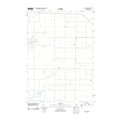 2010 Coloma NW2010 Print · USGSCovers Big Flats, including Saratoga, Colburn, and other nearby areas
 - 2010 Map of Arkdale, 2010 Print
 2010 Arkdale2010 Print · USGSCovers Big Flats, including Strongs Prairie, Monroe Center, and other nearby areas
 - 2010 Map of Arkdale NW, 2010 Print
 2010 Arkdale NW2010 Print · USGSCovers Big Flats, including Saratoga, Rome, and other nearby areas
 - 2010 Map of Roche A Cri, 2010 Print
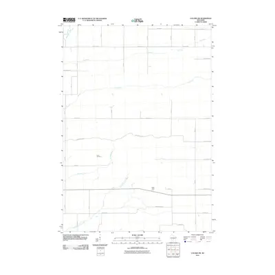
 2010 Roche A Cri2010 Print · USGSCovers Big Flats, including Strongs Prairie, Cottonville, and other nearby areas
 - 2010 Map of Coloma SW, 2010 Print
 2010 Coloma SW2010 Print · USGSCovers Big Flats, including Richfield, Colburn, and other nearby areas
 - 2013 Map of Coloma NW, 2013 Print
 2013 Coloma NW2013 Print · USGSCovers Big Flats, including Saratoga, Colburn, and other nearby areas
 - 2013 Map of Roche A Cri, 2013 Print
 2013 Roche A Cri2013 Print · USGSCovers Big Flats, including Strongs Prairie, Cottonville, and other nearby areas
 - 2013 Map of Arkdale NW, 2013 Print
 2013 Arkdale NW2013 Print · USGSCovers Big Flats, including Saratoga, Rome, and other nearby areas
 - 2013 Map of Coloma SW, 2013 Print
 2013 Coloma SW2013 Print · USGSCovers Big Flats, including Richfield, Colburn, and other nearby areas
 - 2013 Map of Arkdale NE, 2013 Print
 2013 Arkdale NE2013 Print · USGSCovers Big Flats, including Saratoga, Lake Arrowhead, and other nearby areas
 - 2013 Map of Arkdale, 2013 Print
 2013 Arkdale2013 Print · USGSCovers Big Flats, including Strongs Prairie, Monroe Center, and other nearby areas
 - 2015 Map of Arkdale NE, 2015 Print
 2015 Arkdale NE2015 Print · USGSCovers Big Flats, including Saratoga, Lake Arrowhead, and other nearby areas
 - 2015 Map of Coloma NW, 2015 Print
 2015 Coloma NW2015 Print · USGSCovers Big Flats, including Saratoga, Colburn, and other nearby areas
 - 2015 Map of Arkdale NW, 2015 Print
 2015 Arkdale NW2015 Print · USGSCovers Big Flats, including Saratoga, Rome, and other nearby areas
Showing maps 1-25 of 40
Top cities near Big Flats
- Nekoosa historical maps
- Adams historical maps
- Port Edwards historical maps
- Easton historical maps
- Strongs Prairie historical maps
- Friendship historical maps
See more
Frequently asked questions
- What are the different types of historical maps available for Big Flats?
- What is the oldest map of Big Flats?
- Where can I purchase historical maps of Big Flats for my home or office?
- Where can I download high-res historical maps of Big Flats?
- Are there historical topographic maps available for Big Flats?
- Is there historical aerial imagery available for Big Flats?
- Where are historical maps of Big Flats sourced from?