Old Maps of New Chester, Wisconsin for Genealogy
Trace your family roots with 29 historic maps of New Chester. These high-res maps reveal old neighborhoods, homesites, landmarks, and streets — helping you uncover where your ancestors lived and how the area evolved over time.
- Explore historic neighborhoods: Identify where your relatives may have lived in the 1800s or 1900s.
- Compare maps over time: Trace the changes in streets, buildings, and landmarks for multi-generational research.
- Perfect for genealogy & ancestry research: Used by family historians and researchers to map out lineage and migration.
These maps are an incredible resource for exploring your personal connection to New Chester's past.
New Chester, WI maps
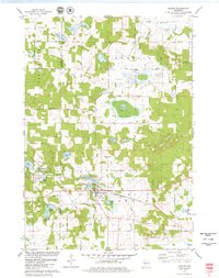
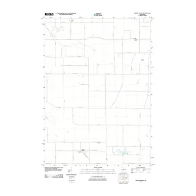
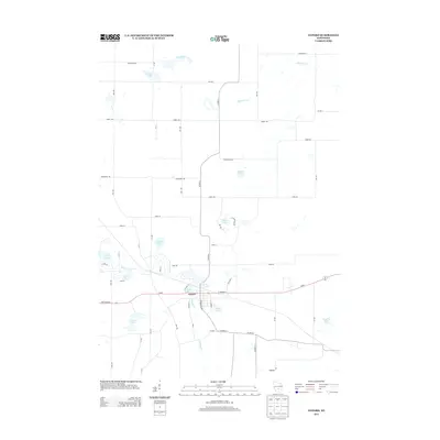
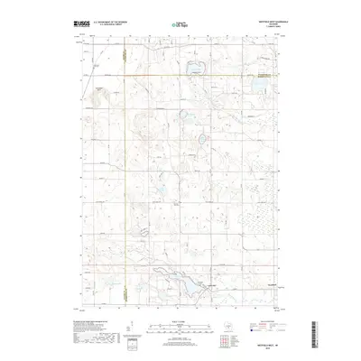
(29)- 1957 Map of Madison, 1967 Print
 1957 Madison1967 Print · USGSSouth-central Wisconsin in the mid-fifties reveals a landscape of industrial hubs and glacial lakes linked by a dense rail and highway network. Genealogists and historians can trace the development of lakeside communities and find notable sites like Badger Ordnance Works and the Horicon National Wildlife Refuge.3 unique versions available
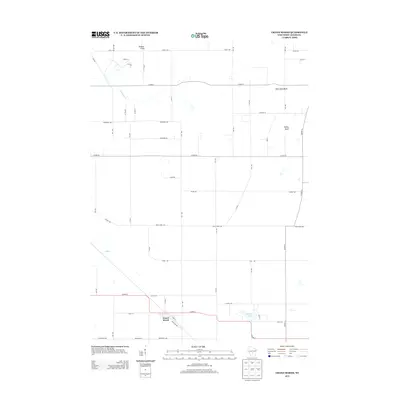
 - 1960 Map of Madison
 1960 Madison1960 Print · USGSCentral and Southern Wisconsin are captured in the late fifties, showing the region as its rail-and-river network matured. Trace the paths of the Soo Line RR or locate family roots near Lake Mendota and Horicon National Wildlife Refuge.2 unique versions available
 - 1961 Map of Oxford, 1963 Print
 1961 Oxford1963 Print · USGSMarquette and Adams counties are shown here in the early sixties, a landscape of glacial lakes and small farming townships. Genealogists and historians can trace the locations of St Methodius Ch, Lincoln Sch, and the winding Chicago and North Western rail line.2 unique versions available
 - 1979 Map of Brooks
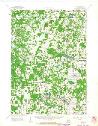
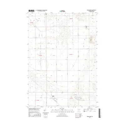
 1979 Brooks1979 Print · USGSAdams County land and water are meticulously detailed in this late seventies survey, showing the area as the local fishery was established. Researchers can trace rural lineages through the New Chester Ch, the Townhall, and old lakefront tracts near Peppermill Lake.
 - 1979 Map of Westfield West
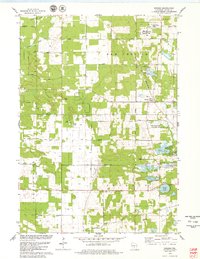
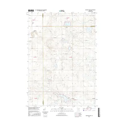
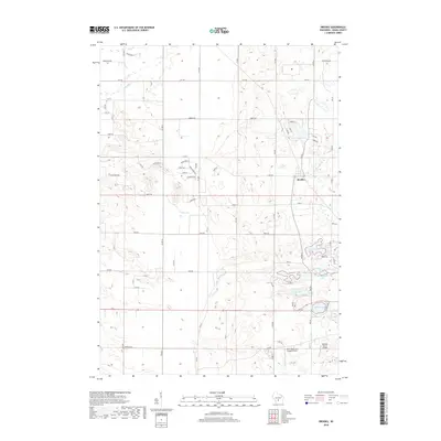
 1979 Westfield West1979 Print · USGSMarquette County's glacial landscape is captured here in the late seventies, showing the village of Westfield and several state conservation lands. Genealogists can locate family landmarks such as South Burr Oak Church, S Burr Oak Cemetery, and the Riverside Cemetery near Lawrence Lake.2 unique versions available
 - 1979 Map of Grand Marsh
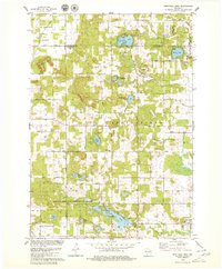
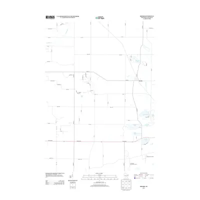
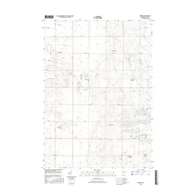
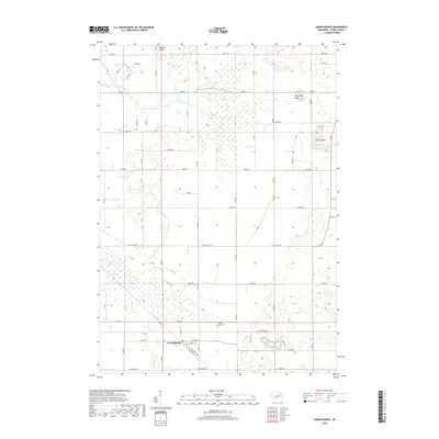
 1979 Grand Marsh1979 Print · USGSGrand Marsh and its surrounding townships are shown here in the late seventies as the Chicago and North Western railway still served the local community. Genealogists can locate family landmarks like St Methodius Ch, Lincoln Sch, and Gould Rock Cem.2 unique versions available
 - 1979 Map of Oxford
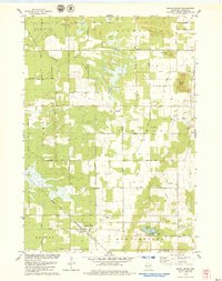
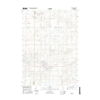
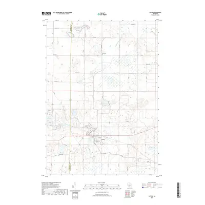
 1979 Oxford1979 Print · USGSCentral Wisconsin wetlands and small-town life are captured here in the late seventies. Family historians can trace local sites like Oak Hill Cem, the village of Oxford, and the Chicago and North Western rail corridor.2 unique versions available
 - 1985 Map of Wisconsin Dells
 1985 Wisconsin Dells1985 Print · USGSCentral Wisconsin in the mid-eighties was a landscape of intricate river bends, rail junctions, and sprawling marshlands. Researchers can trace historic routes along the Soo Line or locate family landmarks near Lyndon Station, Buffalo Lake, and Puckaway Lake.
 - 1990 Map of Wisconsin Dells, 1991 Print
 1990 Wisconsin Dells1991 Print · USGSCentral Wisconsin's river valleys and lake country are captured in detail here during the late twentieth century. Researchers can trace the rail-and-water geography connecting Wisconsin Dells and Portage with landmarks like Blackhawk Island and Buffalo Lake.
 - 2010 Map of Westfield West, 2010 Print
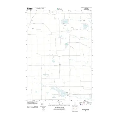 2010 Westfield West2010 Print · USGSCovers New Chester, including Richfield, Lincoln, and other nearby areas
 - 2010 Map of Oxford, 2010 Print
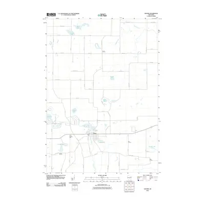 2010 Oxford2010 Print · USGSCovers New Chester, including Oxford, Jackson, and other nearby areas
 - 2010 Map of Brooks, 2010 Print
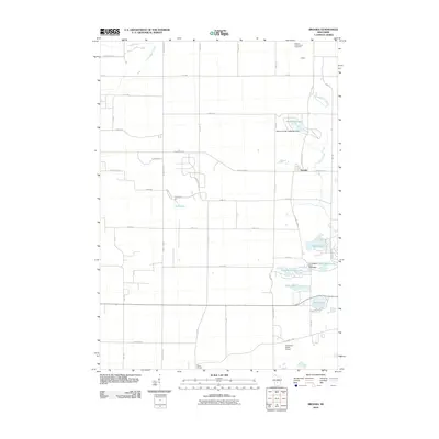 2010 Brooks2010 Print · USGSCovers New Chester, including Easton, Jackson, and other nearby areas
 - 2010 Map of Grand Marsh, 2010 Print
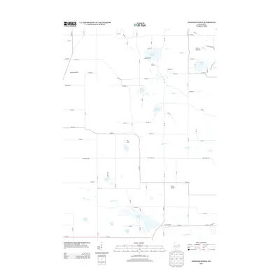
 2010 Grand Marsh2010 Print · USGSCovers New Chester, including Easton, Richfield, and other nearby areas
 - 2013 Map of Grand Marsh, 2013 Print
 2013 Grand Marsh2013 Print · USGSCovers New Chester, including Easton, Richfield, and other nearby areas
 - 2013 Map of Brooks, 2013 Print
 2013 Brooks2013 Print · USGSCovers New Chester, including Easton, Jackson, and other nearby areas
 - 2013 Map of Westfield West, 2013 Print
 2013 Westfield West2013 Print · USGSCovers New Chester, including Richfield, Lincoln, and other nearby areas
 - 2013 Map of Oxford, 2013 Print
 2013 Oxford2013 Print · USGSCovers New Chester, including Oxford, Jackson, and other nearby areas
 - 2016 Map of Westfield West, 2016 Print
 2016 Westfield West2016 Print · USGSCovers New Chester, including Richfield, Lincoln, and other nearby areas
 - 2016 Map of Brooks, 2016 Print
 2016 Brooks2016 Print · USGSCovers New Chester, including Easton, Jackson, and other nearby areas
 - 2016 Map of Oxford, 2016 Print
 2016 Oxford2016 Print · USGSCovers New Chester, including Oxford, Jackson, and other nearby areas
 - 2016 Map of Grand Marsh, 2016 Print
 2016 Grand Marsh2016 Print · USGSCovers New Chester, including Easton, Richfield, and other nearby areas
 - 2018 Map of Grand Marsh, 2018 Print
 2018 Grand Marsh2018 Print · USGSCovers New Chester, including Easton, Richfield, and other nearby areas
 - 2018 Map of Oxford, 2018 Print
 2018 Oxford2018 Print · USGSCovers New Chester, including Oxford, Jackson, and other nearby areas
 - 2018 Map of Brooks, 2018 Print
 2018 Brooks2018 Print · USGSCovers New Chester, including Easton, Jackson, and other nearby areas
 - 2018 Map of Westfield West, 2018 Print
 2018 Westfield West2018 Print · USGSCovers New Chester, including Richfield, Lincoln, and other nearby areas
Showing maps 1-25 of 29
Top cities near New Chester
- Wisconsin Dells historical maps
- Adams historical maps
- Dell Prairie historical maps
- Town of Dell Prairie historical maps
- Packwaukee historical maps
- Lewiston historical maps
See more
Top neighborhoods of New Chester
Frequently asked questions
- What are the different types of historical maps available for New Chester?
- What is the oldest map of New Chester?
- Where can I purchase historical maps of New Chester for my home or office?
- Where can I download high-res historical maps of New Chester?
- Are there historical topographic maps available for New Chester?
- Is there historical aerial imagery available for New Chester?
- Where are historical maps of New Chester sourced from?