Old Maps of Adams County, Wisconsin
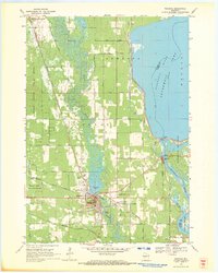
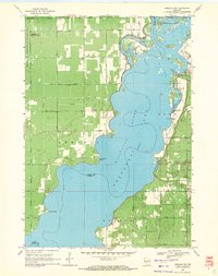
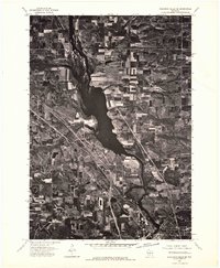
Explore 39 old maps of Adams County, spanning from 1901 to today. These high-resolution historic maps reveal how streets, neighborhoods, landmarks, and natural features evolved over time — perfect for genealogy, metal detecting, research, and local history exploration.
What you can do with these maps:
- See how Adams County changed over time: Compare historical maps to modern-day views to trace roads, homesites, rail lines & more.
- View detailed metadata: Each map includes creators, publishers, year, scale, and archive source.
- Overlay maps with satellite & LiDAR: Visualize the past alongside modern tools to explore terrain & human change.
- Trusted historical sources: Maps sourced from the USGS, Library of Congress, and other archives.
- Access maps your way: View online, download high-res files, or order prints for personal or research use.
Start exploring old maps of Adams County to uncover forgotten places, hidden landmarks, and the deep history beneath your feet.
Adams County, WI maps
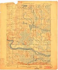
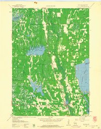
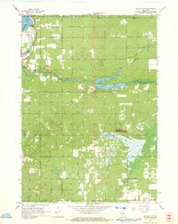
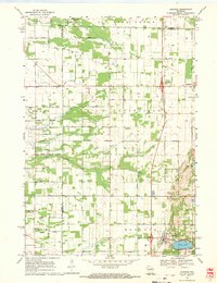
(39)- 1901 Map of The Dells
 1901 The Dells1901 Print · USGSCovers Adams County, including Reedsburg, Lake Delton, and other nearby areas6 unique versions available
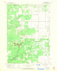
 - 1902 Map of Briggsville
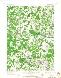
 1902 Briggsville1902 Print · USGSCovers Adams County, including Portage, Lake Delton, and other nearby areas4 unique versions available
 - 1953 Map of Eau Claire, 1965 Print
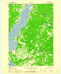
 1953 Eau Claire1965 Print · USGSCovers Adams County, including Eau Claire, Winona, and other nearby areas4 unique versions available
 - 1955 Map of Green Bay, 1968 Print
 1955 Green Bay1968 Print · USGSCovers Adams County, including Green Bay, Appleton, and other nearby areas2 unique versions available
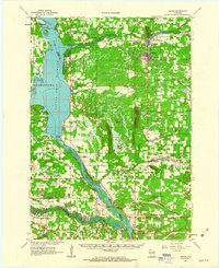
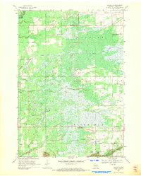
 - 1957 Map of Wisconsin Dells, 1959 Print
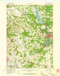 1957 Wisconsin Dells1959 Print · USGSCovers Adams County, including Reedsburg, Lake Delton, and other nearby areas
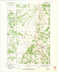
 - 1957 Map of Madison, 1967 Print
 1957 Madison1967 Print · USGSCovers Adams County, including Milwaukee, Madison, and other nearby areas3 unique versions available
 - 1958 Map of Eau Claire
 1958 Eau Claire1958 Print · USGSCovers Adams County, including Eau Claire, Winona, and other nearby areas
 - 1958 Map of Briggsville, 1959 Print
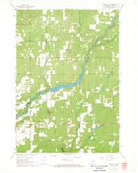
 1958 Briggsville1959 Print · USGSCovers Adams County, including Portage, Lake Delton, and other nearby areas3 unique versions available
 - 1958 Map of Arkdale, 1960 Print
 1958 Arkdale1960 Print · USGSCovers Adams County, including Strongs Prairie, Big Flats, and other nearby areas
 - 1958 Map of Coloma, 1960 Print
 1958 Coloma1960 Print · USGSCovers Adams County, including Big Flats, Plainfield, and other nearby areas
 - 1958 Map of Necedah, 1960 Print
 1958 Necedah1960 Print · USGSCovers Adams County, including Strongs Prairie, Necedah, and other nearby areas3 unique versions available
 - 1960 Map of Madison
 1960 Madison1960 Print · USGSCovers Adams County, including Milwaukee, Madison, and other nearby areas2 unique versions available
 - 1961 Map of Oxford, 1963 Print
 1961 Oxford1963 Print · USGSCovers Adams County, including Easton, Oxford, and other nearby areas2 unique versions available
 - 1961 Map of Adams, 1963 Print
 1961 Adams1963 Print · USGSCovers Adams County, including Adams, Lemonweir, and other nearby areas2 unique versions available
 - 1964 Map of Eau Claire
 1964 Eau Claire1964 Print · USGSCovers Adams County, including Eau Claire, Winona, and other nearby areas
 - 1967 Map of Roche A Cri, 1969 Print
 1967 Roche A Cri1969 Print · USGSCovers Adams County, including Strongs Prairie, Big Flats, and other nearby areas2 unique versions available
 - 1967 Map of Arkdale NE, 1969 Print
 1967 Arkdale NE1969 Print · USGSCovers Adams County, including Big Flats, Rome, and other nearby areas2 unique versions available
 - 1967 Map of Arkdale, 1969 Print
 1967 Arkdale1969 Print · USGSCovers Adams County, including Strongs Prairie, Big Flats, and other nearby areas3 unique versions available
 - 1968 Map of Coloma NW, 1971 Print
 1968 Coloma NW1971 Print · USGSCovers Adams County, including Big Flats, Grant, and other nearby areas2 unique versions available
 - 1968 Map of Coloma SW, 1971 Print
 1968 Coloma SW1971 Print · USGSCovers Adams County, including Big Flats, Preston, and other nearby areas2 unique versions available
 - 1968 Map of Coloma, 1971 Print
 1968 Coloma1971 Print · USGSCovers Adams County, including Coloma, Hancock, and other nearby areas
 - 1968 Map of Hancock, 1971 Print
 1968 Hancock1971 Print · USGSCovers Adams County, including Plainfield, Hancock, and other nearby areas2 unique versions available
 - 1969 Map of Necedah, 1971 Print
 1969 Necedah1971 Print · USGSCovers Adams County, including Strongs Prairie, Necedah, and other nearby areas
 - 1969 Map of Arkdale NW, 1971 Print
 1969 Arkdale NW1971 Print · USGSCovers Adams County, including Big Flats, New Rome, and other nearby areas3 unique versions available
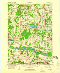
 - 1975 Map of Wisconsin Dells NE, 1976 Print
 1975 Wisconsin Dells NE1976 Print · USGSCovers Adams County, including Wisconsin Dells, Dell Prairie, and other nearby areas2 unique versions available
Showing maps 1-25 of 39
Top cities of Adams County
- Adams historical maps
- Dell Prairie historical maps
- Easton historical maps
- Strongs Prairie historical maps
- Big Flats historical maps
- Friendship historical maps
Frequently asked questions
- What are the different types of historical maps available for Adams County?
- What is the oldest map of Adams County?
- Where can I purchase historical maps of Adams County for my home or office?
- Where can I download high-res historical maps of Adams County?
- Are there historical topographic maps available for Adams County?
- Is there historical aerial imagery available for Adams County?
- Where are historical maps of Adams County sourced from?