Old Maps of Beaser Park, Ashland for Academic Research
Study the evolution of Beaser Park with 12 high-resolution historic maps. Whether you're teaching, researching, or modeling changes in land use, these maps provide essential visual documentation of urban, environmental, and geographic change.
- Analyze long-term change: Track patterns in development, transportation, and natural features.
- Ideal for environmental or urban studies: Support academic projects with primary historical map data.
- Use in the classroom or lab: Educators and researchers rely on these maps to bring historical context to life.
These maps are a powerful tool for teaching, research, and visualizing how Beaser Park has changed over the decades.
Beaser Park, Ashland maps
(12)- 1942 Map of Ashland
 1942 Ashland1942 Print · USGSThe South Shore of Lake Superior comes alive in the early 1940s, showing the bustling rail hubs and maritime ports of Chequamegon Bay. Genealogists and historians can trace local family roots through sites like Northland College, St Agnes Cem, and Ondassagon Sch.
 - 1947 Map of Ashland
 1947 Ashland1947 Print · USGSCoastal Wisconsin thrived on the shores of Lake Superior in the late 1940s, balancing industrial power with small-town education. Genealogists can trace family roots through numerous country schools like Olson Sch and local sites like St Agnes Cem.
 - 1953 Map of Ashland, 1964 Print
 1953 Ashland1964 Print · USGSNorthern Wisconsin's lakefront and timberlands are seen here in the mid-1950s, showing the intersection of industrial rail lines and vast wilderness. Genealogists and historians can trace the Soo Line through rail towns like Mellen or locate family roots in the Apostle Islands and Bad River Indian Reservation.3 unique versions available
 - 1958 Map of Ashland
 1958 Ashland1958 Print · USGSCoastal Wisconsin and the Michigan borderlands meet here in the late fifties, dominated by the timbered expanses and iron-rich ranges. Genealogists can trace family footprints in settlements like Odanah and Montreal, or locate landmarks such as the Coast Guard Station and Agricultural Experiment Station.
 - 1964 Map of Ashland West, 1965 Print
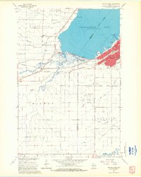 1964 Ashland West1965 Print · USGSThe Lake Superior shoreline at the mid-century shows the city of Ashland as a vital rail and educational center. Researchers can trace the legacy of the Chicago and North Western lines, local schools like Ondassagon Sch, and the grounds of the University of Wisconsin Experiment Station.4 unique versions available
 - 1964 Map of Ashland, 1965 Print
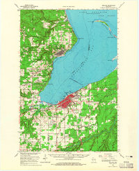 1964 Ashland1965 Print · USGSChequamegon Bay was a bustling hub of maritime and rail transport in the mid-sixties. Researchers can trace the extensive rail lines at Ashland Junction, find local heritage sites like Northland College, and locate family names at St Agnes Cem.2 unique versions available
 - 1989 Map of Ashland
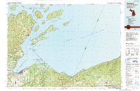 1989 Ashland1989 Print · USGSCoastal Wisconsin and Michigan at the end of the 1980s show a landscape of deep-water bays, island preserves, and industrial timber towns. Researchers can trace the rail lines of the Soo Line and identify landmarks from Big Bay State Park to the Bad River Indian Reservation.
 - 2010 Map of Ashland West, 2010 Print
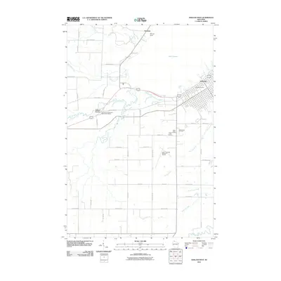 2010 Ashland West2010 Print · USGSCoastal Wisconsin where the forest meets the bay, this survey captures the western expansion of the city during the early 2000s. Researchers can trace family sites at Mount Hope Cemetery or locate regional infrastructure like the John F Kennedy Memorial Airport and Ashland Junction.
 - 2013 Map of Ashland West, 2013 Print
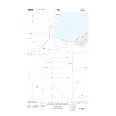 2013 Ashland West2013 Print · USGSThe south shore of Lake Superior comes into focus in this early twenty-first-century survey of the Chequamegon Bay area. Local historians can trace the development of the Ashland city grid and rural junctions like Barksdale and Ashland Junction near the banks of Fish Creek.
 - 2015 Map of Ashland West, 2015 Print
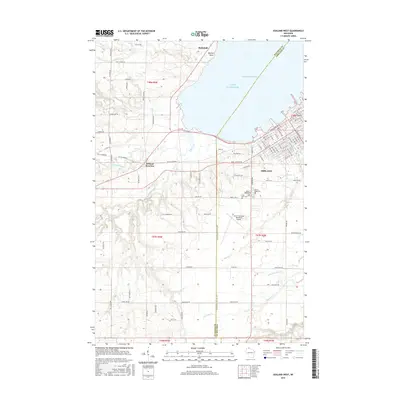 2015 Ashland West2015 Print · USGSChequamegon Bay and the city of Ashland anchor this northern Wisconsin study from the mid-2010s. Researchers can trace the intersection of the Tri Co Corridor at Ashland Junction and locate family burial sites at Saint Agnes Cem or Mount Hope Cem.
 - 2018 Map of Ashland West, 2018 Print
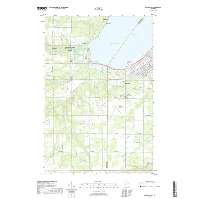 2018 Ashland West2018 Print · USGSThe western edges of the Chequamegon Bay region are captured here in the late 2010s, showing the intersection of lakefront industry and conservation. Local historians can trace the grounds of Mount Hope Cem, the operations at John F Kennedy Memorial Airport, and the protected marshes of Whittlesey Creek National Wildlife Refuge.
 - 2022 Map of Ashland West, 2022 Print
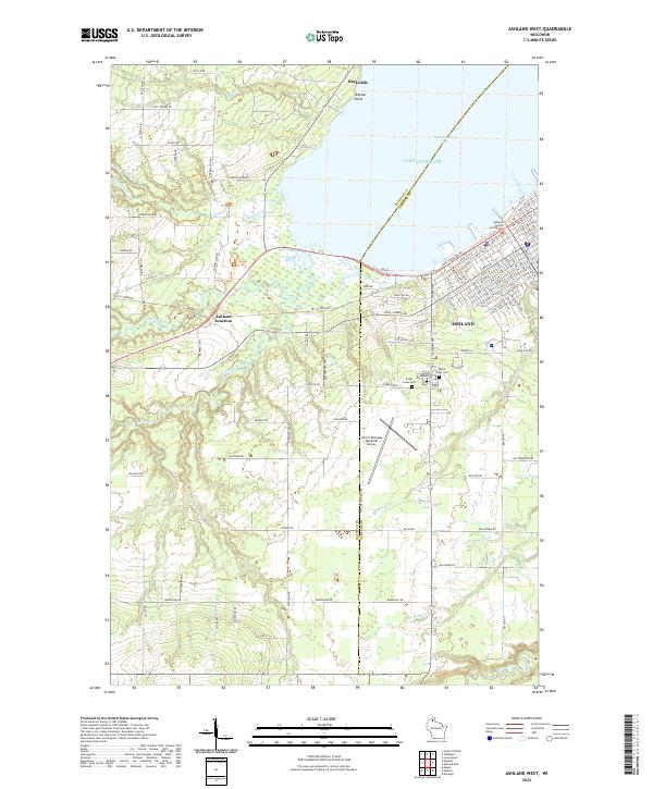 2022 Ashland West2022 Print · USGSCoastal Wisconsin at the edge of Lake Superior reveals a landscape of protected wetlands and civic hubs. Researchers can trace the layout of Ashland alongside the Whittlesey Creek National Wildlife Refuge and Mount Hope Cem.
End of results
Showing maps 1-12 of 12
Frequently asked questions
- What are the different types of historical maps available for Beaser Park?
- What is the oldest map of Beaser Park?
- Where can I purchase historical maps of Beaser Park for my home or office?
- Where can I download high-res historical maps of Beaser Park?
- Are there historical topographic maps available for Beaser Park?
- Is there historical aerial imagery available for Beaser Park?
- Where are historical maps of Beaser Park sourced from?