Old Maps of Minersville, Ashland for Genealogy
Trace your family roots with 12 historic maps of Minersville. These high-res maps reveal old neighborhoods, homesites, landmarks, and streets — helping you uncover where your ancestors lived and how the area evolved over time.
- Explore historic neighborhoods: Identify where your relatives may have lived in the 1800s or 1900s.
- Compare maps over time: Trace the changes in streets, buildings, and landmarks for multi-generational research.
- Perfect for genealogy & ancestry research: Used by family historians and researchers to map out lineage and migration.
These maps are an incredible resource for exploring your personal connection to Minersville's past.
Minersville, Ashland maps
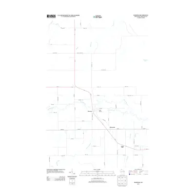
(12)- 1942 Map of Marengo, 1964 Print
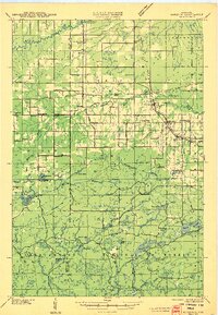
 1942 Marengo1964 Print · USGSNorthern Wisconsin's timber and rail landscape is captured here in the early 1940s, showing the intersection of federal forest land and tribal territory. Genealogists can locate specific rural schools like Maple Ridge Sch and communities like Sanborn or North York.
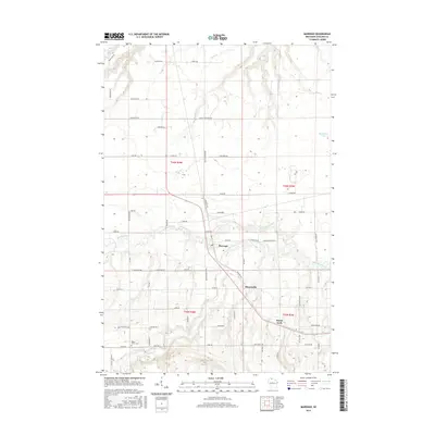
 - 1945 Map of Marengo
 1945 Marengo1945 Print · USGSAshland County and the Chequamegon National Forest are captured here in the mid-1940s, showing a landscape shaped by timber and rail. Researchers can locate rural landmarks like Ebenezer Ch and vanished local schools including Agnew Sch and Section Five Sch.2 unique versions available
 - 1953 Map of Ashland, 1964 Print
 1953 Ashland1964 Print · USGSNorthern Wisconsin's lakefront and timberlands are seen here in the mid-1950s, showing the intersection of industrial rail lines and vast wilderness. Genealogists and historians can trace the Soo Line through rail towns like Mellen or locate family roots in the Apostle Islands and Bad River Indian Reservation.3 unique versions available
 - 1958 Map of Ashland
 1958 Ashland1958 Print · USGSCoastal Wisconsin and the Michigan borderlands meet here in the late fifties, dominated by the timbered expanses and iron-rich ranges. Genealogists can trace family footprints in settlements like Odanah and Montreal, or locate landmarks such as the Coast Guard Station and Agricultural Experiment Station.
 - 1967 Map of Marengo, 1969 Print
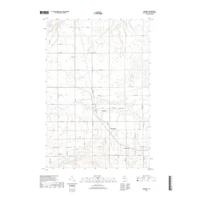
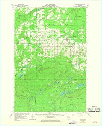 1967 Marengo1969 Print · USGSAshland and Bayfield counties are shown in the late sixties, a landscape of northwoods settlements and the Chequamegon National Forest. Genealogists and hikers can locate Sanborn Cemetery, the Finnish Church, and the scenic Morgan Falls.2 unique versions available
 - 1980 Map of Ironwood
 1980 Ironwood1980 Print · USGSThe Michigan-Wisconsin borderlands appear in the late twentieth century as a landscape defined by iron mining and deep forests. Researchers can trace the rail-and-river economy through the Soo Line and Chicago and North Western tracks connecting Mellen, Glidden, and Hurley.
 - 1984 Map of Marengo
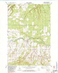 1984 Marengo1984 Print · USGSNorthern Wisconsin's rural landscape is captured here in the mid-1980s, centered on the confluence of the Marengo River. Researchers can locate family landmarks like Maple Grove Cem, St Pauls Ch, and the old Marengo Valley Sch.
 - 2010 Map of Marengo, 2010 Print
 2010 Marengo2010 Print · USGSCovers Minersville, including Marengo, White River, and other nearby areas
 - 2013 Map of Marengo, 2013 Print
 2013 Marengo2013 Print · USGSCovers Minersville, including Marengo, White River, and other nearby areas
 - 2015 Map of Marengo, 2015 Print
 2015 Marengo2015 Print · USGSCovers Minersville, including Marengo, White River, and other nearby areas
 - 2018 Map of Marengo, 2018 Print
 2018 Marengo2018 Print · USGSCovers Minersville, including Marengo, White River, and other nearby areas
 - 2022 Map of Marengo, 2022 Print
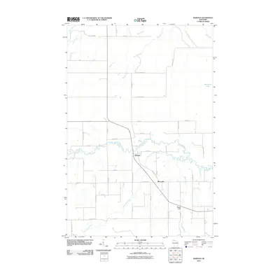
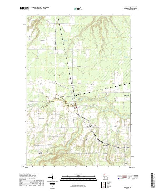 2022 Marengo2022 Print · USGSAshland County's rural townships are documented here during the early 2020s, showing the settlement patterns along the river forks. Researchers can locate family landmarks and burial sites like Maple Grove Cem or trace the paths of Minersville and Jolmaville.
End of results
Showing maps 1-12 of 12
Top cities near Minersville
- Ashland historical maps
- Sanborn historical maps
- White River historical maps
- Mellen historical maps
- Morse historical maps
- New Odanah historical maps
See more
Frequently asked questions
- What are the different types of historical maps available for Minersville?
- What is the oldest map of Minersville?
- Where can I purchase historical maps of Minersville for my home or office?
- Where can I download high-res historical maps of Minersville?
- Are there historical topographic maps available for Minersville?
- Is there historical aerial imagery available for Minersville?
- Where are historical maps of Minersville sourced from?