2000s (21st Century) Maps of Peeksville, Wisconsin
Explore 21 historic maps of Peeksville from the 2000s (21st Century). These maps offer a rare glimpse into what life looked like during the 2000s — showing old roads, neighborhoods, homes, and landmarks that have changed or disappeared over time.
Whether you're researching your family's past, planning a metal detecting trip, or studying how Peeksville's landscape evolved across the 2000s, these high-resolution maps are a powerful tool for exploring the history of this region.
- Focus on a specific era: All maps on this page are from the 2000s, giving you a focused view of this time period.
- See what’s changed: Compare century-old streets, trails, and buildings to today's modern landscape using overlays and satellite layers.
- Research with precision: Use these maps for genealogy, historical research, land use analysis, or educational projects.
- View, download, or print: Maps are fully viewable online in high resolution, and can be downloaded or printed for your own records.
Start exploring Peeksville's history through authentic maps from the 2000s. This is your window into the past.
Peeksville, WI maps
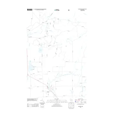
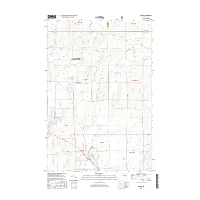
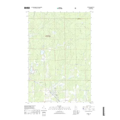
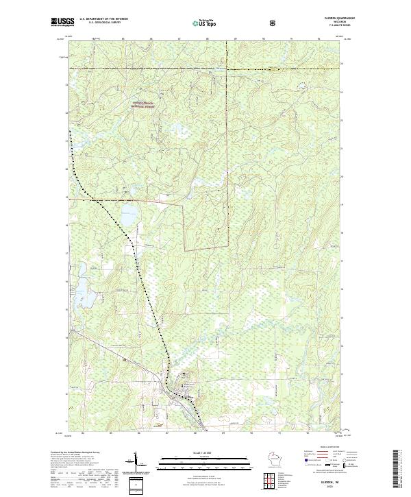
(21)- 2005 Map of Glidden, 2006 Print
 2005 Glidden2006 Print · USGSAshland County’s timber and river lands are shown in detail during the early 2000s, centered on the community of Glidden. Local researchers can locate the Mt Hope Cem, trace the course of the East Fork Chippewa River, and explore forest routes like Hannes Road.
 - 2010 Map of Butternut, 2010 Print
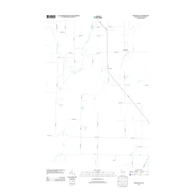
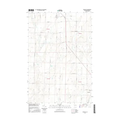
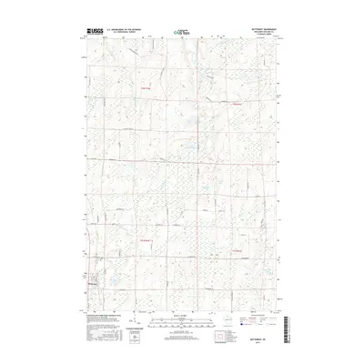
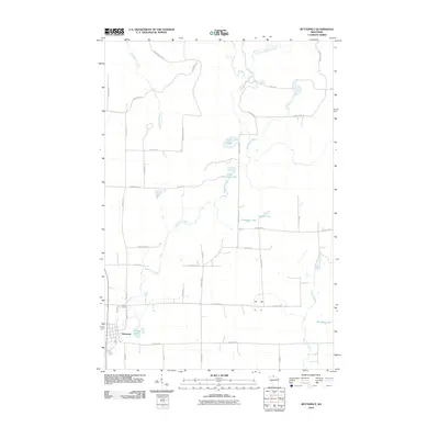 2010 Butternut2010 Print · USGSCovers Peeksville, including Butternut, Agenda, and other nearby areas
 - 2010 Map of Peeksville, 2010 Print
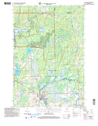
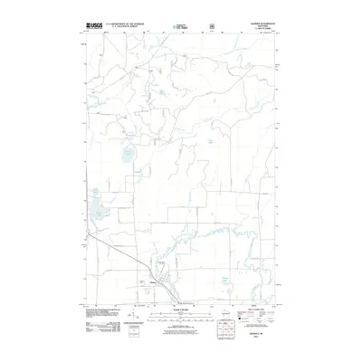
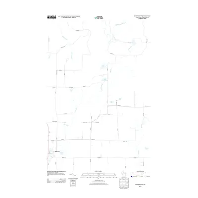
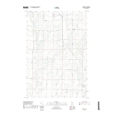
 2010 Peeksville2010 Print · USGSCovers Peeksville, including Butternut, Shanagolden, and other nearby areas
 - 2010 Map of Augustine Lake, 2010 Print
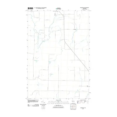
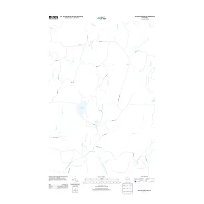
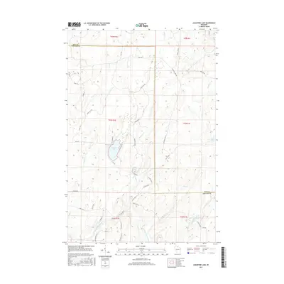
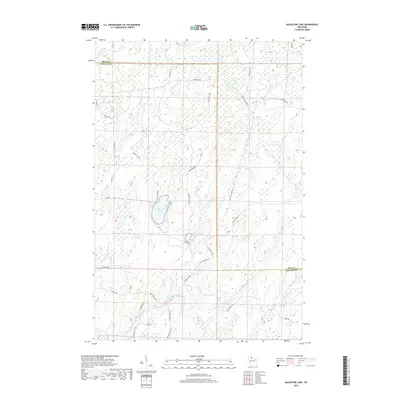
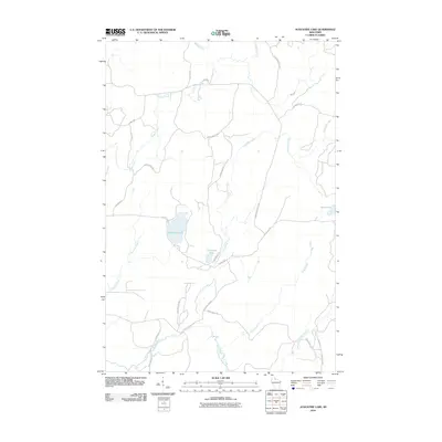 2010 Augustine Lake2010 Print · USGSCovers Peeksville, including Agenda, Anderson, and other nearby areas
 - 2011 Map of Glidden, 2011 Print
 2011 Glidden2011 Print · USGSCovers Peeksville, including Shanagolden, Anderson, and other nearby areas
 - 2013 Map of Peeksville, 2013 Print
 2013 Peeksville2013 Print · USGSCovers Peeksville, including Butternut, Shanagolden, and other nearby areas
 - 2013 Map of Glidden, 2013 Print
 2013 Glidden2013 Print · USGSCovers Peeksville, including Shanagolden, Anderson, and other nearby areas
 - 2013 Map of Augustine Lake, 2013 Print
 2013 Augustine Lake2013 Print · USGSCovers Peeksville, including Agenda, Anderson, and other nearby areas
 - 2013 Map of Butternut, 2013 Print
 2013 Butternut2013 Print · USGSCovers Peeksville, including Butternut, Agenda, and other nearby areas
 - 2015 Map of Peeksville, 2015 Print
 2015 Peeksville2015 Print · USGSCovers Peeksville, including Butternut, Shanagolden, and other nearby areas
 - 2015 Map of Glidden, 2015 Print
 2015 Glidden2015 Print · USGSCovers Peeksville, including Shanagolden, Anderson, and other nearby areas
 - 2015 Map of Augustine Lake, 2015 Print
 2015 Augustine Lake2015 Print · USGSCovers Peeksville, including Agenda, Anderson, and other nearby areas
 - 2015 Map of Butternut, 2015 Print
 2015 Butternut2015 Print · USGSCovers Peeksville, including Butternut, Agenda, and other nearby areas
 - 2018 Map of Peeksville, 2018 Print
 2018 Peeksville2018 Print · USGSCovers Peeksville, including Butternut, Shanagolden, and other nearby areas
 - 2018 Map of Glidden, 2018 Print
 2018 Glidden2018 Print · USGSCovers Peeksville, including Shanagolden, Anderson, and other nearby areas
 - 2018 Map of Augustine Lake, 2018 Print
 2018 Augustine Lake2018 Print · USGSCovers Peeksville, including Agenda, Anderson, and other nearby areas
 - 2018 Map of Butternut, 2018 Print
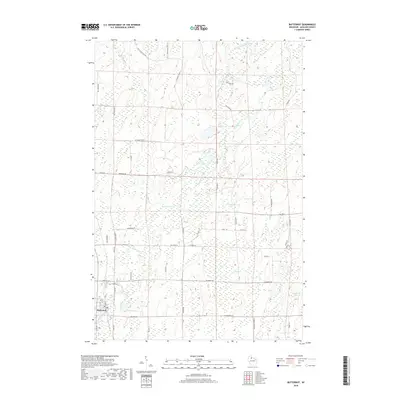 2018 Butternut2018 Print · USGSCovers Peeksville, including Butternut, Agenda, and other nearby areas
 - 2022 Map of Butternut, 2022 Print
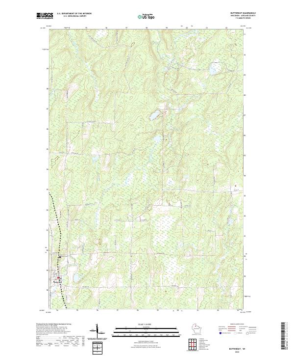 2022 Butternut2022 Print · USGSThe village of Butternut and the surrounding Ashland County timberlands are shown in detail as they appeared recently. Genealogists can locate Union Cem, while those studying the landscape can trace the E Fork Chippewa River and Butternut Creek.
 - 2022 Map of Augustine Lake, 2022 Print
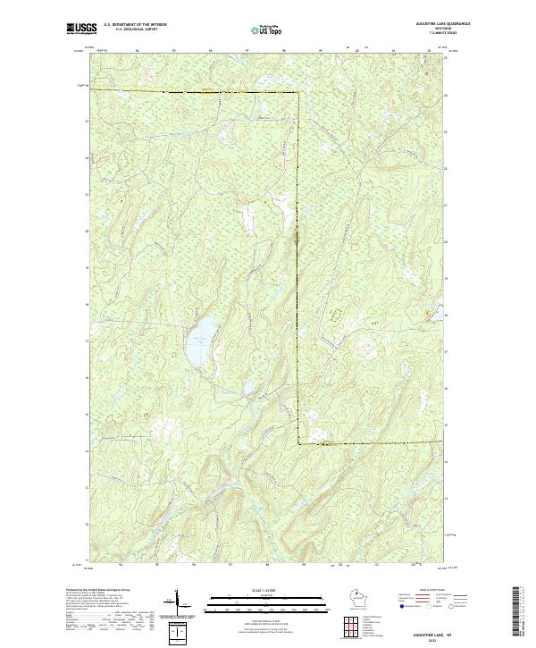 2022 Augustine Lake2022 Print · USGSNorthern Wisconsin lake country and the East Fork Chippewa River are detailed in this modern survey. Genealogists and outdoorsmen can trace remote access routes like Bunte Shack Rd and family-named landmarks such as Augustine Lake.
 - 2022 Map of Peeksville, 2022 Print
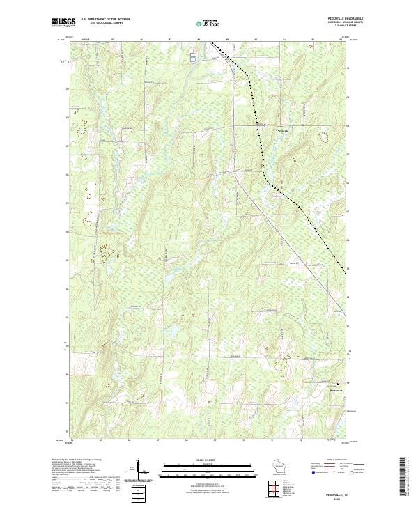 2022 Peeksville2022 Print · USGSAshland County's north woods are shown in fine detail during the early 2020s, revealing a landscape defined by the East Fork Chippewa River and rural family homesteads. Genealogists can locate family-named roads and burial sites at Saint Cecelia Cem near the town of Butternut.
 - 2022 Map of Glidden, 2022 Print
 2022 Glidden2022 Print · USGSAshland County in the early 2020s remains a landscape of deep woods and interconnected waterways centered on the village of Glidden. Researchers can locate family landmarks at Mount Hope Cem or trace the winding paths of the East Fork Chippewa River and Bad River.
End of results
Showing maps 1-21 of 21
Top cities near Peeksville
- Park Falls historical maps
- Mercer historical maps
- Fifield historical maps
- Mellen historical maps
- Morse historical maps
- Butternut historical maps
See more
Frequently asked questions
- What are the different types of historical maps available for Peeksville?
- What is the oldest map of Peeksville?
- Where can I purchase historical maps of Peeksville for my home or office?
- Where can I download high-res historical maps of Peeksville?
- Are there historical topographic maps available for Peeksville?
- Is there historical aerial imagery available for Peeksville?
- Where are historical maps of Peeksville sourced from?