Old Maps of Odanah, Sanborn for Academic Research
Study the evolution of Odanah with 12 high-resolution historic maps. Whether you're teaching, researching, or modeling changes in land use, these maps provide essential visual documentation of urban, environmental, and geographic change.
- Analyze long-term change: Track patterns in development, transportation, and natural features.
- Ideal for environmental or urban studies: Support academic projects with primary historical map data.
- Use in the classroom or lab: Educators and researchers rely on these maps to bring historical context to life.
These maps are a powerful tool for teaching, research, and visualizing how Odanah has changed over the decades.
Odanah, Sanborn maps
(12)- 1943 Map of Odanah, 1952 Print
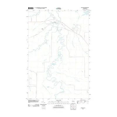
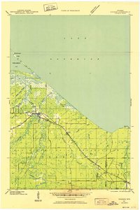 1943 Odanah1952 Print · USGSNorthern Wisconsin's Lake Superior shoreline and the Bad River delta are captured here during the early 1940s. Genealogists and historians can trace the Chicago and Northwestern rail line and local settlements at Odanah, Birch, and Rufus.
 - 1945 Map of Odanah
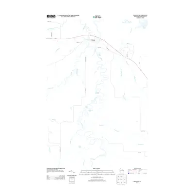
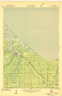 1945 Odanah1945 Print · USGSCoastal Ashland and Iron counties are documented here in the 1940s, highlighting the intricate river systems of the Bad River Indian Reservation. Researchers can trace the Chicago and Northwestern rail line through early settlements like Odanah, Rufus, and Birch.
 - 1953 Map of Ashland, 1964 Print
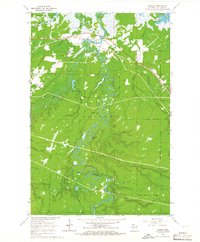
 1953 Ashland1964 Print · USGSNorthern Wisconsin's lakefront and timberlands are seen here in the mid-1950s, showing the intersection of industrial rail lines and vast wilderness. Genealogists and historians can trace the Soo Line through rail towns like Mellen or locate family roots in the Apostle Islands and Bad River Indian Reservation.3 unique versions available
 - 1958 Map of Ashland
 1958 Ashland1958 Print · USGSCoastal Wisconsin and the Michigan borderlands meet here in the late fifties, dominated by the timbered expanses and iron-rich ranges. Genealogists can trace family footprints in settlements like Odanah and Montreal, or locate landmarks such as the Coast Guard Station and Agricultural Experiment Station.
 - 1964 Map of Odanah, 1965 Print
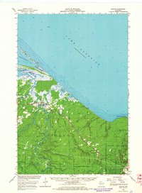
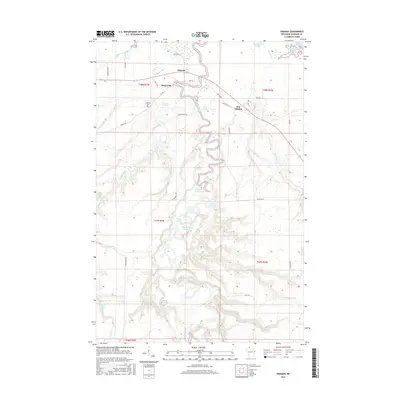
 1964 Odanah1965 Print · USGSThe northern coast of Wisconsin's Ashland County is captured here in the mid-1960s, centered on the riverfront settlement of Odanah. Local historians can trace the paths of the Chicago and North Western railroad and locate landmarks like Odanah Cem and Pictured Rock Lake.2 unique versions available
 - 1964 Map of Odanah, 1966 Print
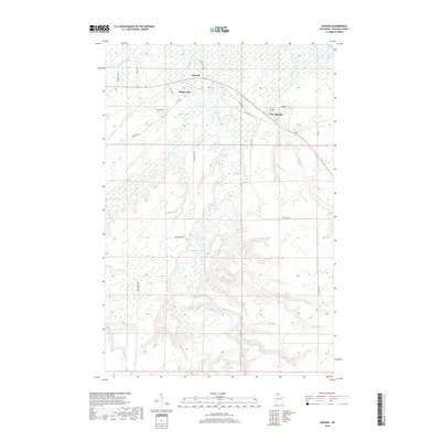
 1964 Odanah1966 Print · USGSThe Lake Superior shoreline and the Bad River drainage are captured in the mid-1960s, showing the intersection of rail transit and coastal wetlands. Researchers can trace local history through Odanah, the Odanah Cem, and the Birch Ridge Lookout Tower.2 unique versions available
 - 1989 Map of Ashland
 1989 Ashland1989 Print · USGSCoastal Wisconsin and Michigan at the end of the 1980s show a landscape of deep-water bays, island preserves, and industrial timber towns. Researchers can trace the rail lines of the Soo Line and identify landmarks from Big Bay State Park to the Bad River Indian Reservation.
 - 2010 Map of Odanah, 2010 Print
 2010 Odanah2010 Print · USGSCovers Odanah, including New Odanah, Gingles, and other nearby areas
 - 2013 Map of Odanah, 2013 Print
 2013 Odanah2013 Print · USGSCovers Odanah, including New Odanah, Gingles, and other nearby areas
 - 2015 Map of Odanah, 2015 Print
 2015 Odanah2015 Print · USGSCovers Odanah, including New Odanah, Gingles, and other nearby areas
 - 2018 Map of Odanah, 2018 Print
 2018 Odanah2018 Print · USGSCovers Odanah, including New Odanah, Gingles, and other nearby areas
 - 2022 Map of Odanah, 2022 Print
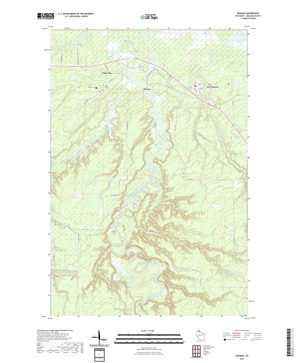 2022 Odanah2022 Print · USGSNorthern Wisconsin wetlands and river junctions define this area in the 2020s. Researchers can trace the communities of Odanah and Diaperville or find family history at the Odanah Cem near the Bad River.
End of results
Showing maps 1-12 of 12
Frequently asked questions
- What are the different types of historical maps available for Odanah?
- What is the oldest map of Odanah?
- Where can I purchase historical maps of Odanah for my home or office?
- Where can I download high-res historical maps of Odanah?
- Are there historical topographic maps available for Odanah?
- Is there historical aerial imagery available for Odanah?
- Where are historical maps of Odanah sourced from?