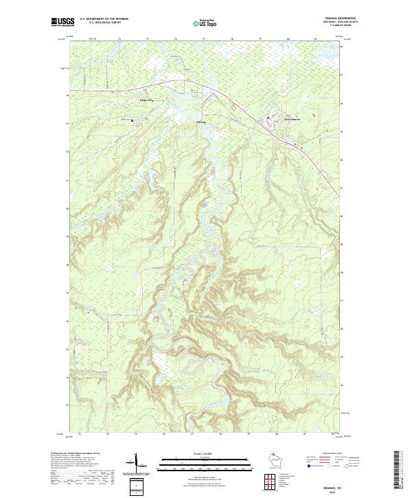
2022 Map of Odanah
USGS Topo · Published 2022About this map
The Bad River and White River converge in this corner of Ashland County, creating a landscape defined by shifting watercourses and extensive wetlands like Hanson Swamp. The primary settlements of Odanah, New Odanah, and Diaperville are clustered in the northern portion of the quadrangle along the transport corridors of State St and Resvn Hwy 4. These communities are situated amidst a complex drainage network that includes the Kakagon River and several smaller tributaries such as Beartrap Creek and Denomie Cr.
Find a feature on this map
43 named features on this map. Tap any name to fly to it.
Don’t see what you’re looking for? This feature index may not catch every label — zoom into the map to look around manually.
Map Details
Editions of this 2022 Odanah Map
This is the sole edition of this map. No revisions or reprints were ever made.
Other maps of this area

1942 · Ashland
USGS Topo · 1:48,000

1942 · Mellen
USGS Topo · 1:48,000

1942 · Marengo
USGS Topo · 1:48,000

1943 · Odanah
USGS Topo · 1:48,000

1945 · Odanah
USGS Topo · 1:48,000

1945 · Marengo
USGS Topo · 1:48,000

1945 · Mellen
USGS Topo · 1:48,000

1947 · Ashland
USGS Topo · 1:48,000

1953 · Ashland
USGS Topo · 1:250,000

1958 · Ashland
USGS Topo · 1:250,000