Old Maps of Village Kame, Cable for Hiking & Exploration
Hike through history with 12 historic maps of Village Kame. Explore old trails, ghost towns, and forgotten backroads — perfect for outdoor adventurers and local explorers.
- Rediscover forgotten places: Map out old mining camps, roads, and footpaths that no longer exist on modern maps.
- Layer with modern tools: Combine with LiDAR or satellite views to plan hikes through historical terrain.
- Made for exploration: Popular among hikers, overlanders, and local history lovers.
Use these maps to find adventure and explore the hidden past of Village Kame.
Village Kame, Cable maps
(12)- 1943 Map of Namekagon Lake, 1960 Print
 1943 Namekagon Lake1960 Print · USGSUpper Wisconsin’s lake country is captured here during the mid-1940s, showing a landscape of glacial waters and early forest infrastructure. Researchers can locate remote schools and camps like Spider Lake Sch and the Sawyer CCC Camp or trace the early shoreline of Lost Land Lake.2 unique versions available
 - 1945 Map of Namekagon Lake
 1945 Namekagon Lake1945 Print · USGSThe National Forest of northern Wisconsin is shown here in the mid-1940s as a landscape of timber trails and remote camps. Researchers can locate the Sawyer CCC Camp, the Lost Land Lake Club, and local landmarks like the West Fork Fire Tower.2 unique versions available
 - 1953 Map of Ashland, 1964 Print
 1953 Ashland1964 Print · USGSNorthern Wisconsin's lakefront and timberlands are seen here in the mid-1950s, showing the intersection of industrial rail lines and vast wilderness. Genealogists and historians can trace the Soo Line through rail towns like Mellen or locate family roots in the Apostle Islands and Bad River Indian Reservation.3 unique versions available
 - 1958 Map of Ashland
 1958 Ashland1958 Print · USGSCoastal Wisconsin and the Michigan borderlands meet here in the late fifties, dominated by the timbered expanses and iron-rich ranges. Genealogists can trace family footprints in settlements like Odanah and Montreal, or locate landmarks such as the Coast Guard Station and Agricultural Experiment Station.
 - 1971 Map of Lake Tahkodah, 1973 Print
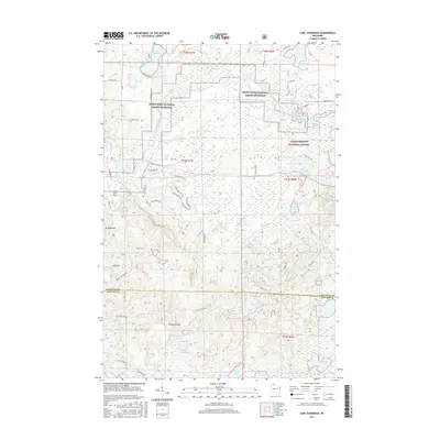
 1971 Lake Tahkodah1973 Print · USGSThe Northwoods of Bayfield and Sawyer counties are captured here in the early seventies, dominated by the Namekagon River. You can trace the development of recreation at Mount Telemark or locate remote camps on Star Lake and Lake Tahkodah.
 - 1980 Map of Solon Springs
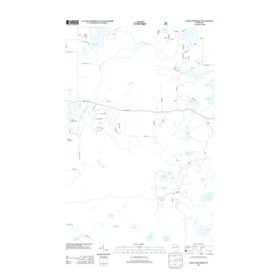
 1980 Solon Springs1980 Print · USGSNorthern Wisconsin in the early eighties was a landscape of dense timber and sprawling glacial waters. Trace the legacy of the Chicago and North Western rail line through Solon Springs, Hayward, and Minong at this pivotal moment.
 - 2005 Map of Lake Tahkodah, 2006 Print
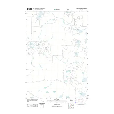
 2005 Lake Tahkodah2006 Print · USGSBayfield County at the turn of the millennium shows a landscape dedicated to the Northwoods river-and-lake system within the national forest. Researchers can trace forest management boundaries and find recreational landmarks like Mount Telemark, Cable Union Airport, and the St Croix National Scenic Riverway.
 - 2011 Map of Lake Tahkodah, 2011 Print
 2011 Lake Tahkodah2011 Print · USGSCovers Village Kame, including Cable, Drummond, and other nearby areas
 - 2013 Map of Lake Tahkodah, 2013 Print
 2013 Lake Tahkodah2013 Print · USGSCovers Village Kame, including Cable, Drummond, and other nearby areas
 - 2015 Map of Lake Tahkodah, 2015 Print
 2015 Lake Tahkodah2015 Print · USGSCovers Village Kame, including Cable, Drummond, and other nearby areas
 - 2019 Map of Lake Tahkodah, 2019 Print
 2019 Lake Tahkodah2019 Print · USGSCovers Village Kame, including Cable, Drummond, and other nearby areas
 - 2022 Map of Lake Tahkodah, 2022 Print
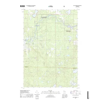
 2022 Lake Tahkodah2022 Print · USGSBayfield County's northwoods are captured in this recent survey of the glacial lake country between Cable and Seeley. Outdoor historians and researchers can map the modern trail systems like Esker Trl and locate remote water bodies including Filing Shed Lake and Birch Lake.
End of results
Showing maps 1-12 of 12
Frequently asked questions
- What are the different types of historical maps available for Village Kame?
- What is the oldest map of Village Kame?
- Where can I purchase historical maps of Village Kame for my home or office?
- Where can I download high-res historical maps of Village Kame?
- Are there historical topographic maps available for Village Kame?
- Is there historical aerial imagery available for Village Kame?
- Where are historical maps of Village Kame sourced from?