Old Maps of Sutherland, Mason for Hiking & Exploration
Hike through history with 12 historic maps of Sutherland. Explore old trails, ghost towns, and forgotten backroads — perfect for outdoor adventurers and local explorers.
- Rediscover forgotten places: Map out old mining camps, roads, and footpaths that no longer exist on modern maps.
- Layer with modern tools: Combine with LiDAR or satellite views to plan hikes through historical terrain.
- Made for exploration: Popular among hikers, overlanders, and local history lovers.
Use these maps to find adventure and explore the hidden past of Sutherland.
Sutherland, Mason maps
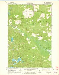
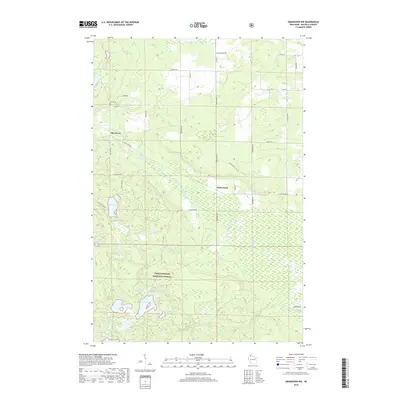
(12)- 1944 Map of Grandview, 1962 Print
 1944 Grandview1962 Print · USGSBayfield County's Northwoods landscape is captured here during the mid-forties, showing the intricate network of rails and rural schools. Genealogists and historians can locate the Taylor Lake CCC Camp and trace family roots near Becker Sch, Grandview, and Mason.
 - 1947 Map of Grandview
 1947 Grandview1947 Print · USGSBayfield County at the close of the 1940s reveals a landscape of timber-towns and marshlands connected by the Chicago St Paul Minneapolis and Omaha rail line. Researchers can locate remote rural schoolhouses like Becker Sch and Dybedal Sch, or trace the winding course of the White River.
 - 1953 Map of Ashland, 1964 Print
 1953 Ashland1964 Print · USGSNorthern Wisconsin's lakefront and timberlands are seen here in the mid-1950s, showing the intersection of industrial rail lines and vast wilderness. Genealogists and historians can trace the Soo Line through rail towns like Mellen or locate family roots in the Apostle Islands and Bad River Indian Reservation.3 unique versions available
 - 1958 Map of Ashland
 1958 Ashland1958 Print · USGSCoastal Wisconsin and the Michigan borderlands meet here in the late fifties, dominated by the timbered expanses and iron-rich ranges. Genealogists can trace family footprints in settlements like Odanah and Montreal, or locate landmarks such as the Coast Guard Station and Agricultural Experiment Station.
 - 1971 Map of Grand View NW, 1973 Print
 1971 Grand View NW1973 Print · USGSBayfield County at the start of the 1970s shows a landscape defined by the expansive Bibon Marsh and the lakelands of the Northwoods. Researchers can trace the Old Railroad Grade near Sutherland or locate family sites near Pike River Cem and Bethany Ch.3 unique versions available
 - 1980 Map of Solon Springs
 1980 Solon Springs1980 Print · USGSNorthern Wisconsin in the early eighties was a landscape of dense timber and sprawling glacial waters. Trace the legacy of the Chicago and North Western rail line through Solon Springs, Hayward, and Minong at this pivotal moment.
 - 2005 Map of Grand View NW, 2006 Print
 2005 Grand View NW2006 Print · USGSBayfield County's north woods come alive in this early 2000s survey of the Chequamegon-Nicolet National Forest. Researchers can locate remote landmarks like the Pike River Cem, the rural settlement of Sutherland, and the expansive White River Marsh.
 - 2011 Map of Grandview NW, 2011 Print
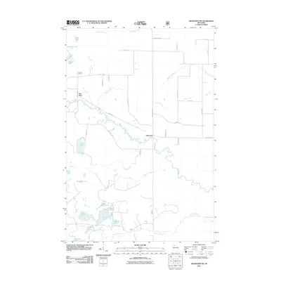 2011 Grandview NW2011 Print · USGSCovers Sutherland, including Drummond, Delta, and other nearby areas
 - 2013 Map of Grandview NW, 2013 Print
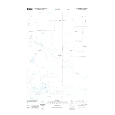 2013 Grandview NW2013 Print · USGSCovers Sutherland, including Drummond, Delta, and other nearby areas
 - 2015 Map of Grandview NW, 2015 Print
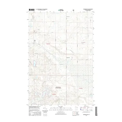 2015 Grandview NW2015 Print · USGSCovers Sutherland, including Drummond, Delta, and other nearby areas
 - 2018 Map of Grandview NW, 2018 Print
 2018 Grandview NW2018 Print · USGSCovers Sutherland, including Drummond, Delta, and other nearby areas
 - 2022 Map of Grandview NW, 2022 Print
 2022 Grandview NW2022 Print · USGSBayfield County’s forest and lake country is captured here during the early 2020s, showing a landscape defined by water and woods. Researchers can locate the Delta Cem and trace the many forest roads and creeks connecting Sutherland to the Bibon Marsh.
End of results
Showing maps 1-12 of 12
Top cities near Sutherland
- Iron River historical maps
- Cable historical maps
- Drummond historical maps
- Delta historical maps
- Mason historical maps
Frequently asked questions
- What are the different types of historical maps available for Sutherland?
- What is the oldest map of Sutherland?
- Where can I purchase historical maps of Sutherland for my home or office?
- Where can I download high-res historical maps of Sutherland?
- Are there historical topographic maps available for Sutherland?
- Is there historical aerial imagery available for Sutherland?
- Where are historical maps of Sutherland sourced from?