Old Maps of Namakagon, Wisconsin for Academic Research
Study the evolution of Namakagon with 29 high-resolution historic maps. Whether you're teaching, researching, or modeling changes in land use, these maps provide essential visual documentation of urban, environmental, and geographic change.
- Analyze long-term change: Track patterns in development, transportation, and natural features.
- Ideal for environmental or urban studies: Support academic projects with primary historical map data.
- Use in the classroom or lab: Educators and researchers rely on these maps to bring historical context to life.
These maps are a powerful tool for teaching, research, and visualizing how Namakagon has changed over the decades.
Namakagon, WI maps
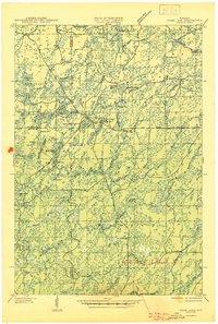
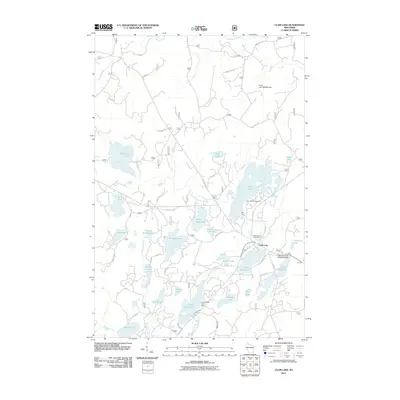
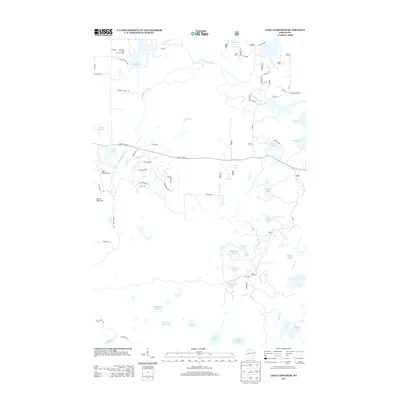
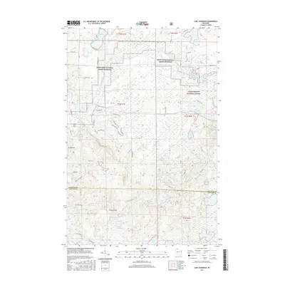
(29)- 1942 Map of Clam Lake, 1959 Print
 1942 Clam Lake1959 Print · USGSNorthern Wisconsin's deep woods are captured here during the early 1940s, showing the early infrastructure of the Chequamegon National Forest. Researchers can locate the Clam Lake CCC Camp, the NYA Camp, and the Clam Lake Fire Tower among dozens of named lakes and streams.2 unique versions available
 - 1943 Map of Namekagon Lake, 1960 Print
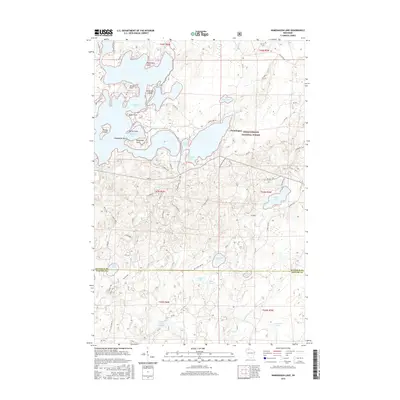
 1943 Namekagon Lake1960 Print · USGSUpper Wisconsin’s lake country is captured here during the mid-1940s, showing a landscape of glacial waters and early forest infrastructure. Researchers can locate remote schools and camps like Spider Lake Sch and the Sawyer CCC Camp or trace the early shoreline of Lost Land Lake.2 unique versions available
 - 1945 Map of Namekagon Lake
 1945 Namekagon Lake1945 Print · USGSThe National Forest of northern Wisconsin is shown here in the mid-1940s as a landscape of timber trails and remote camps. Researchers can locate the Sawyer CCC Camp, the Lost Land Lake Club, and local landmarks like the West Fork Fire Tower.2 unique versions available
 - 1945 Map of Clam Lake
 1945 Clam Lake1945 Print · USGSThe Northwoods of Ashland and Bayfield Counties are captured here in the mid-1940s, centered on the Clam Lake community. Genealogists and historians can locate federal project sites like the Clam Lake CCC Camp and NYA Camp alongside the Clam Lake Fire Tower.2 unique versions available
 - 1953 Map of Ashland, 1964 Print
 1953 Ashland1964 Print · USGSNorthern Wisconsin's lakefront and timberlands are seen here in the mid-1950s, showing the intersection of industrial rail lines and vast wilderness. Genealogists and historians can trace the Soo Line through rail towns like Mellen or locate family roots in the Apostle Islands and Bad River Indian Reservation.3 unique versions available
 - 1958 Map of Ashland
 1958 Ashland1958 Print · USGSCoastal Wisconsin and the Michigan borderlands meet here in the late fifties, dominated by the timbered expanses and iron-rich ranges. Genealogists can trace family footprints in settlements like Odanah and Montreal, or locate landmarks such as the Coast Guard Station and Agricultural Experiment Station.
 - 1971 Map of Lake Tahkodah, 1973 Print
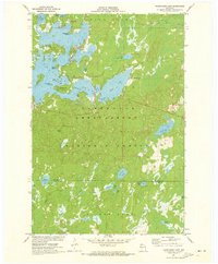
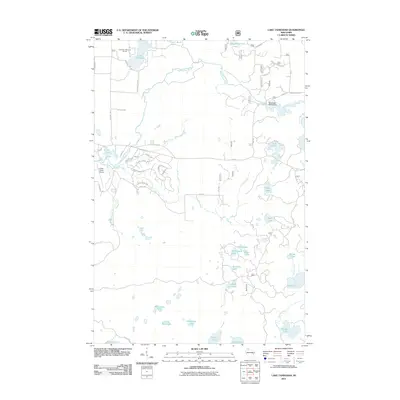
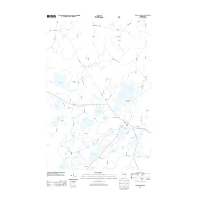
 1971 Lake Tahkodah1973 Print · USGSThe Northwoods of Bayfield and Sawyer counties are captured here in the early seventies, dominated by the Namekagon River. You can trace the development of recreation at Mount Telemark or locate remote camps on Star Lake and Lake Tahkodah.
 - 1971 Map of Namekagon Lake, 1973 Print
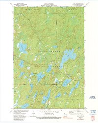
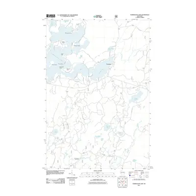
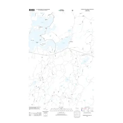
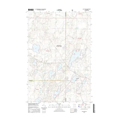
 1971 Namekagon Lake1973 Print · USGSBayfield and Sawyer counties are captured in the early 1970s, showcasing the dense woods and glaciated waters of the Chequamegon National Forest. Researchers can trace the irregular shorelines of Namekagon Lake and find landmarks like Missionary Point or the small settlement at Namekagon.2 unique versions available
 - 1971 Map of Clam Lake, 1990 Print
 1971 Clam Lake1990 Print · USGSThe Northwoods of Ashland and Bayfield Counties come alive in this early 1970s survey of the lake-studded forestry landscape. Researchers can locate the Clam Lake Lookout Tower, trace burials at Wildwood Cem, and find the Job Corps Camp near Chippewa Lake.
 - 1980 Map of Ironwood
 1980 Ironwood1980 Print · USGSThe Michigan-Wisconsin borderlands appear in the late twentieth century as a landscape defined by iron mining and deep forests. Researchers can trace the rail-and-river economy through the Soo Line and Chicago and North Western tracks connecting Mellen, Glidden, and Hurley.
 - 1980 Map of Solon Springs
 1980 Solon Springs1980 Print · USGSNorthern Wisconsin in the early eighties was a landscape of dense timber and sprawling glacial waters. Trace the legacy of the Chicago and North Western rail line through Solon Springs, Hayward, and Minong at this pivotal moment.
 - 2005 Map of Clam Lake, 2006 Print
 2005 Clam Lake2006 Print · USGSThe Northwoods around Clam Lake appear here in the early twenty-first century, showing a landscape defined by federal forest management and lakeside recreation. Researchers can trace local landmarks like Wildwood Cem, the Church of St George, and the Clam Lake Lookout.
 - 2005 Map of Lake Tahkodah, 2006 Print
 2005 Lake Tahkodah2006 Print · USGSBayfield County at the turn of the millennium shows a landscape dedicated to the Northwoods river-and-lake system within the national forest. Researchers can trace forest management boundaries and find recreational landmarks like Mount Telemark, Cable Union Airport, and the St Croix National Scenic Riverway.
 - 2005 Map of Namekagon Lake, 2006 Print
 2005 Namekagon Lake2006 Print · USGSNorthern Wisconsin's lake country is captured here during the mid-2000s, showing the complex shoreline of the Chequamegon Nicolet National Forest. You can trace family-named points and landings like Juneks Point, Missionary Point, and Garden Lake.
 - 2011 Map of Clam Lake, 2011 Print
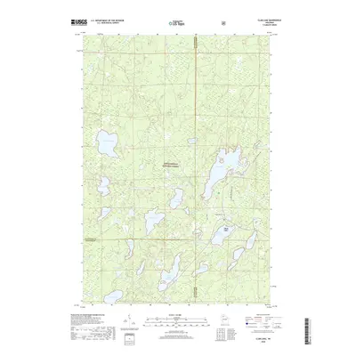
 2011 Clam Lake2011 Print · USGSCovers Namakagon, including Shanagolden, Spider Lake, and other nearby areas
 - 2011 Map of Lake Tahkodah, 2011 Print
 2011 Lake Tahkodah2011 Print · USGSCovers Namakagon, including Cable, Drummond, and other nearby areas
 - 2011 Map of Namekagon Lake, 2011 Print
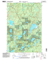
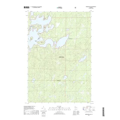
 2011 Namekagon Lake2011 Print · USGSCovers Namakagon, including Bear Point, Spider Lake, and other nearby areas
 - 2013 Map of Namekagon Lake, 2013 Print
 2013 Namekagon Lake2013 Print · USGSCovers Namakagon, including Bear Point, Spider Lake, and other nearby areas
 - 2013 Map of Lake Tahkodah, 2013 Print
 2013 Lake Tahkodah2013 Print · USGSCovers Namakagon, including Cable, Drummond, and other nearby areas
 - 2013 Map of Clam Lake, 2013 Print
 2013 Clam Lake2013 Print · USGSCovers Namakagon, including Shanagolden, Spider Lake, and other nearby areas
 - 2015 Map of Namekagon Lake, 2015 Print
 2015 Namekagon Lake2015 Print · USGSCovers Namakagon, including Bear Point, Spider Lake, and other nearby areas
 - 2015 Map of Clam Lake, 2015 Print
 2015 Clam Lake2015 Print · USGSCovers Namakagon, including Shanagolden, Spider Lake, and other nearby areas
 - 2015 Map of Lake Tahkodah, 2015 Print
 2015 Lake Tahkodah2015 Print · USGSCovers Namakagon, including Cable, Drummond, and other nearby areas
 - 2018 Map of Clam Lake, 2018 Print
 2018 Clam Lake2018 Print · USGSCovers Namakagon, including Shanagolden, Spider Lake, and other nearby areas
 - 2019 Map of Namekagon Lake, 2019 Print
 2019 Namekagon Lake2019 Print · USGSCovers Namakagon, including Bear Point, Spider Lake, and other nearby areas
Showing maps 1-25 of 29
Top cities near Namakagon
- Cable historical maps
- Drummond historical maps
- Delta historical maps
- Draper historical maps
- Shanagolden historical maps
Top neighborhoods of Namakagon
- Namekagon historical maps
- Bear Point historical maps
- Eagle Point historical maps
- Missionary Point historical maps
Frequently asked questions
- What are the different types of historical maps available for Namakagon?
- What is the oldest map of Namakagon?
- Where can I purchase historical maps of Namakagon for my home or office?
- Where can I download high-res historical maps of Namakagon?
- Are there historical topographic maps available for Namakagon?
- Is there historical aerial imagery available for Namakagon?
- Where are historical maps of Namakagon sourced from?