2020s Maps of Orienta, Wisconsin
Explore 5 historic maps of Orienta from the 2020s. These maps offer a rare glimpse into what life looked like during the 2020s — showing old roads, neighborhoods, homes, and landmarks that have changed or disappeared over time.
Whether you're researching your family's past, planning a metal detecting trip, or studying how Orienta's landscape evolved across the 2020s, these high-resolution maps are a powerful tool for exploring the history of this region.
- Focus on a specific era: All maps on this page are from the 2020s, giving you a focused view of this time period.
- See what’s changed: Compare century-old streets, trails, and buildings to today's modern landscape using overlays and satellite layers.
- Research with precision: Use these maps for genealogy, historical research, land use analysis, or educational projects.
- View, download, or print: Maps are fully viewable online in high resolution, and can be downloaded or printed for your own records.
Start exploring Orienta's history through authentic maps from the 2020s. This is your window into the past.
Orienta, WI maps
(5)- 2022 Map of Port Wing, 2022 Print
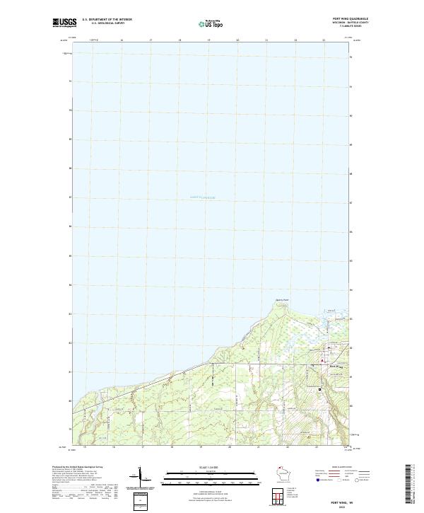 2022 Port Wing2022 Print · USGSThe South Shore of Lake Superior comes into focus in this recent survey of a historic Wisconsin harbor town. Trace local family roots and land ownership around Port Wing, the Greenwood Cem, and landmarks like Quarry Point.
 - 2022 Map of Blaine Creek, 2022 Print
 2022 Blaine Creek2022 Print · USGSBayfield County in the early twenty-first century is captured here as a network of rural homesteads and winding waterways. Researchers can trace family names through local routes like Hokkanen Rd or locate the Hillside Cem near the East Fork Iron River.
 - 2022 Map of Oulu, 2022 Print
 2022 Oulu2022 Print · USGSNorthern Wisconsin lakefront and river valley lands are captured here in the early twenty-first century. Genealogists can locate family landmarks like Oulu Lutheran Cem and trace rural roads like Tikkanen Rd near Waino.
 - 2022 Map of Oulu OE N, 2022 Print
 2022 Oulu OE N2022 Print · USGSThe southern shoreline of Lake Superior and the jurisdictional meeting of Wisconsin and Minnesota are mapped here in the early twenty-first century. Researchers can trace the coastal geography near Brule Point and follow local roads like Bracketts Corner Rd.
 - 2022 Map of Iron Lake NE, 2022 Print
 2022 Iron Lake NE2022 Print · USGSNorthern Wisconsin's timbered highlands and cold-water streams are meticulously charted in this recent study of the Bayfield County backcountry. Researchers can trace forest management routes and conservation sites like the Iron River National Fish Hatchery, the Battleaxe Trl, and the Flag River.
End of results
Showing maps 1-5 of 5
Top cities near Orienta
Frequently asked questions
- What are the different types of historical maps available for Orienta?
- What is the oldest map of Orienta?
- Where can I purchase historical maps of Orienta for my home or office?
- Where can I download high-res historical maps of Orienta?
- Are there historical topographic maps available for Orienta?
- Is there historical aerial imagery available for Orienta?
- Where are historical maps of Orienta sourced from?