Old Maps of Olde North, Green Bay for Metal Detecting
Plan your next treasure hunt with 23 historic maps of Olde North. Find old homesites, ghost towns, trails, and gathering spots that may be lost to time — perfect for identifying promising metal detecting locations.
- Locate forgotten sites: Uncover places like long-lost settlements, abandoned rail lines, or gathering spots.
- Plan better hunts: Use map overlays combined with LiDAR or satellite views to narrow in on historically rich areas.
- Made for detectorists: Thousands of hobbyists use these maps to discover relics, coins, and hidden history.
Use these historic maps to boost your research and find new opportunities beneath the surface of Olde North.
Olde North, Green Bay maps
(23)- 1954 Map of Green Bay West, 1956 Print
 1954 Green Bay West1956 Print · USGSGreen Bay and its western suburbs thrive in the mid-fifties as industrial rail lines and new neighborhoods expand toward the bay. Researchers can trace the development of local education and industry through numerous sites like West High Sch, St Johns Cem, and the massive Power Plant on the Fox River.2 unique versions available
 - 1954 Map of New Franken, 1956 Print
 1954 New Franken1956 Print · USGSThe eastern shores of the bay and the agricultural heart of Brown County are captured here during the mid-1950s. Genealogists and local researchers can trace old crossroads like Bay Settlement, find family-named sites like Mt Pleasant Cem, and locate the Abandoned Lighthouse at Dead Horse Bay.2 unique versions available
 - 1954 Map of Green Bay East, 1956 Print
 1954 Green Bay East1956 Print · USGSCoastal Brown County comes alive in the mid-1950s as the suburbs of Green Bay expand toward the rural townships of Scott and Preble. Genealogists can trace family landmarks and schools from Bay Settlement and Haevers Corners to the Holy Cross Cem.2 unique versions available
 - 1954 Map of Manitowoc, 1968 Print
 1954 Manitowoc1968 Print · USGSLake Michigan served as a vital transit corridor in the mid-fifties, with car and auto ferries linking the industrial ports of Wisconsin to the Michigan timberlands. Genealogists and maritime historians can trace active ferry routes like the Ann Arbor Railway Car and Auto Ferry and locate early settlements from Brussels to Algoma.2 unique versions available
 - 1954 Map of Green Bay, 1980 Print
 1954 Green Bay1980 Print · USGSGreen Bay and Brown County are shown during a period of steady mid-century growth and agricultural prominence. Researchers can trace family roots through numerous country schools like White Pine Sch and established cemeteries such as Chase Cem and Peace Cem.
 - 1955 Map of Green Bay, 1968 Print
 1955 Green Bay1968 Print · USGSCentral and Eastern Wisconsin are captured here in the mid-fifties, showing the industrial growth of the Fox Valley and Wisconsin River corridors. Genealogists and historians can trace rail lines like the Green Bay and Western through settlements like Weyauwega, Clintonville, and Pulaski.2 unique versions available
 - 1958 Map of Manitowoc
 1958 Manitowoc1958 Print · USGSLake Michigan and its shorelines are shown in the late fifties when maritime transport defined the region. Researchers can trace the routes of the Ann Arbor Railroad Ferry or locate old settlements like St. Nazianz, Rostock, and Two Creeks.
 - 1982 Map of Green Bay East
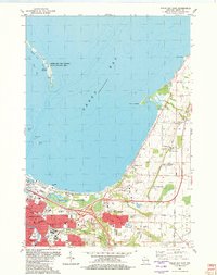 1982 Green Bay East1982 Print · USGSGreen Bay and its eastern suburbs are shown during a period of significant regional growth in the early eighties. Genealogists and local historians can locate specific landmarks such as Holy Cross Church, the abandoned lighthouse at Long Tail Point, and Haevers Corners.
 - 1982 Map of Green Bay West, 1983 Print
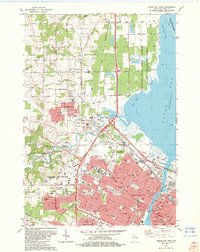 1982 Green Bay West1983 Print · USGSThe Fox River waterfront and Green Bay's western suburbs are captured here during a period of significant growth. Genealogists and historians can trace neighborhood development near Fort Howard Cemetery or locate local landmarks like Lambeau Field and Plainview Landing Strip.
 - 1984 Map of Sturgeon Bay, 1985 Print
 1984 Sturgeon Bay1985 Print · USGSDoor Peninsula and the Kewaunee coast are documented here in the mid-eighties, showing the deep-water harbor at Sturgeon Bay and the rural agricultural interior. Genealogists can trace family roots through crossroads towns like Kolberg, Duvall, and Sugar Bush.2 unique versions available
 - 1984 Map of Shawano, 1985 Print
 1984 Shawano1985 Print · USGSNortheast Wisconsin in the mid-1980s was a landscape defined by its indigenous heritage and the bustling trade centers of the Fox and Wolf River valleys. Genealogists and historians can trace rail corridors like the Chicago and North Western or locate family sites near Keshena, Cecil, and the Fort Howard Cem.2 unique versions available
 - 1992 Map of Green Bay East, 1996 Print
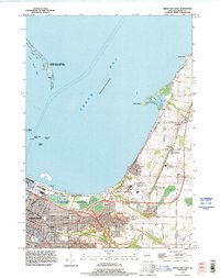 1992 Green Bay East1996 Print · USGSThe eastern edge of Green Bay and the ninteenth-century village of Bay Settlement are captured here in the early nineties as the city expanded northward. Researchers can trace the development of the University of Wisconsin Green Bay and find local landmarks like Haevers Corners, Wequiock, and the County Home Cemetery.
 - 1992 Map of Green Bay West, 1996 Print
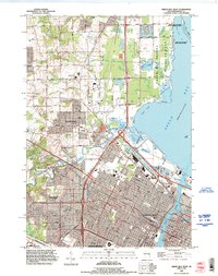 1992 Green Bay West1996 Print · USGSThe Fox River shoreline and the western suburbs of Green Bay are shown here during a period of significant growth in the early nineties. Researchers can trace the boundaries of the Oneida Indian Reservation and locate local landmarks like Elm Tree Corners and the Fort Howard Cemetery.
 - 2010 Map of Green Bay East, 2010 Print
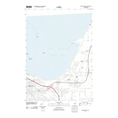 2010 Green Bay East2010 Print · USGSThe eastern shores of Green Bay and the winding corridor of Baird Creek are captured here in the early twenty-first century. Researchers can locate the historic Bay Settlement, Holy Cross Cemetery, and the campus of the University of Wisconsin at Green Bay.
 - 2010 Map of Green Bay West, 2010 Print
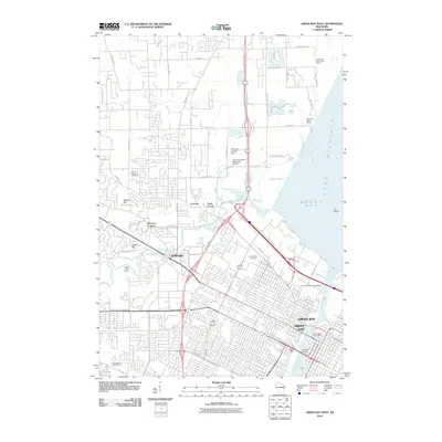 2010 Green Bay West2010 Print · USGSThe Green Bay waterfront and the village of Howard are shown here as they appeared a decade ago. Genealogists can locate family sites at Saint Johns Cemetery and Fort Howard Cemetery, while maritime researchers can trace the docks along the Fox River and Peats Lake.
 - 2013 Map of Green Bay East, 2013 Print
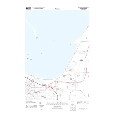 2013 Green Bay East2013 Print · USGSThe eastern shores of the bay and its developing suburbs are captured here during a period of modern growth in Brown County. Genealogists and local historians can locate early communities like Wequiock and Bay Settlement alongside landmarks like City Stadium.
 - 2013 Map of Green Bay West, 2013 Print
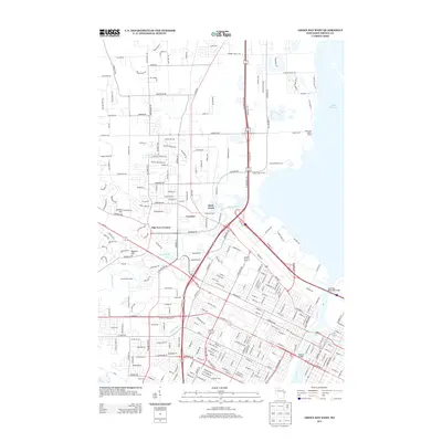 2013 Green Bay West2013 Print · USGSWestern Green Bay is shown in its modern configuration during the early 2010s, centering on the city's iconic sports and transit landmarks. Researchers can trace the urban development around Lambeau Field or locate historic river crossings like the Tilleman Bridge and Leo Frigo Memorial Bridge.
 - 2015 Map of Green Bay East, 2015 Print
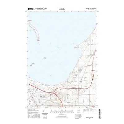 2015 Green Bay East2015 Print · USGSGreen Bay and its northeastern shoreline are captured here in the mid-2010s as suburban growth meets the bay. Researchers can trace the layout of the University and find local landmarks like Holy Cross Cemetery and Wequiock.
 - 2016 Map of Green Bay West, 2016 Print
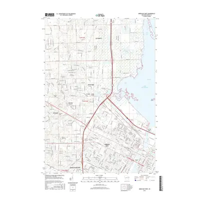 2016 Green Bay West2016 Print · USGSGreen Bay and its western suburbs appear here in the mid-2010s, showing a landscape defined by heavy industry and river crossings. Researchers can trace the modern layout of Howard and Ashwaubenon, locating landmarks like Fort Howard Cem and the Leo Frigo Memorial Bridge.
 - 2018 Map of Green Bay West, 2018 Print
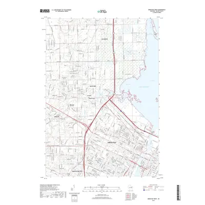 2018 Green Bay West2018 Print · USGSGreen Bay and its western suburbs appear here in the late 2010s, where the river-mouth commerce of the Fox meets the Lake Michigan shoreline. Researchers can trace local landmarks like Fort Howard Cem, the coastal reach of Long Tail Point, and the residential growth of Ashwaubenon.
 - 2018 Map of Green Bay East, 2018 Print
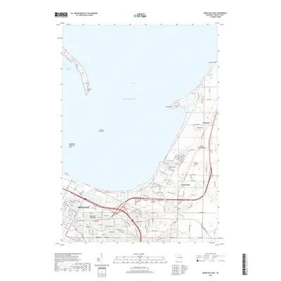 2018 Green Bay East2018 Print · USGSGreen Bay and its eastern suburbs are shown in this recent look at Brown County's evolving landscape. Researchers can trace the development of older communities like Wequiock and Preble or locate family sites at Holy Cross Cem and County Home Cem.
 - 2022 Map of Green Bay East, 2022 Print
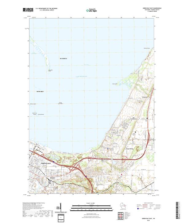 2022 Green Bay East2022 Print · USGSCoastal Brown County comes alive in this 2020s study of the shoreline where the city meets the bay. Genealogists and local historians can trace family locations near Haevers Corners, Holy Cross Cem, and the historic Bay Settlement crossroads.
 - 2022 Map of Green Bay West, 2022 Print
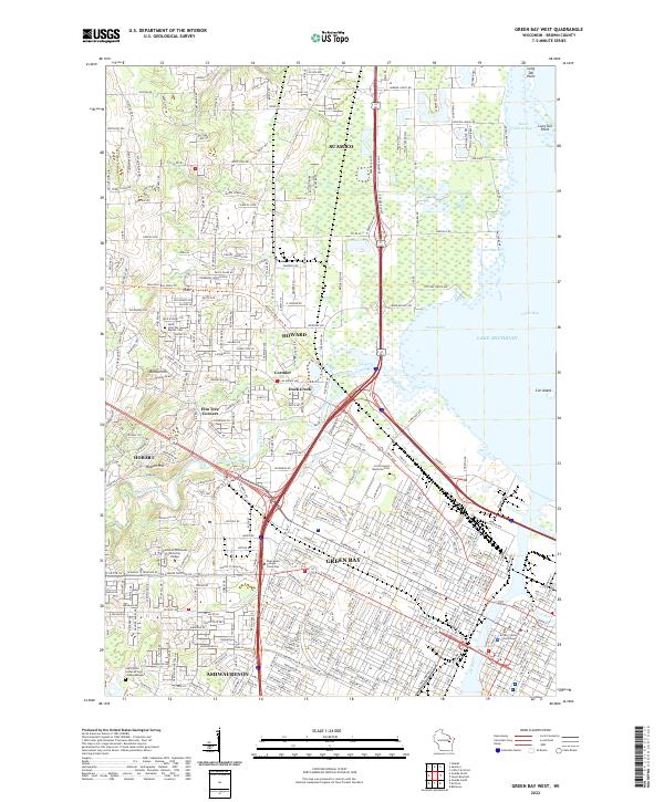 2022 Green Bay West2022 Print · USGSGreen Bay and the surrounding Brown County landscape are captured here in the early twenty-first century as the city spreads toward Lake Michigan. Genealogists and local historians can trace the sites of Saint John the Baptist Cemetery, the Brown County Courthouse, and the community of Elm Tree Corners.
End of results
Showing maps 1-23 of 23
Frequently asked questions
- What are the different types of historical maps available for Olde North?
- What is the oldest map of Olde North?
- Where can I purchase historical maps of Olde North for my home or office?
- Where can I download high-res historical maps of Olde North?
- Are there historical topographic maps available for Olde North?
- Is there historical aerial imagery available for Olde North?
- Where are historical maps of Olde North sourced from?