Old Maps of Askeaton, Holland
Explore 10 old maps of Askeaton, spanning from 1954 to today. These high-resolution historic maps reveal how streets, neighborhoods, landmarks, and natural features evolved over time — perfect for genealogy, metal detecting, research, and local history exploration.
What you can do with these maps:
- See how Askeaton changed over time: Compare historical maps to modern-day views to trace roads, homesites, rail lines & more.
- View detailed metadata: Each map includes creators, publishers, year, scale, and archive source.
- Overlay maps with satellite & LiDAR: Visualize the past alongside modern tools to explore terrain & human change.
- Trusted historical sources: Maps sourced from the USGS, Library of Congress, and other archives.
- Access maps your way: View online, download high-res files, or order prints for personal or research use.
Start exploring old maps of Askeaton to uncover forgotten places, hidden landmarks, and the deep history beneath your feet.
Askeaton, Holland maps
(10)- 1954 Map of De Pere, 1956 Print
 1954 De Pere1956 Print · USGSThe Fox River valley in the mid-1950s was a hub of industrial navigation and growing aviation between De Pere and Green Bay. Genealogists can trace family names through dozens of rural sites like St Patrick Cem, Gopher Hill, and the Michaelson Sch (Abandoned).2 unique versions available
 - 1955 Map of Green Bay, 1968 Print
 1955 Green Bay1968 Print · USGSCentral and Eastern Wisconsin are captured here in the mid-fifties, showing the industrial growth of the Fox Valley and Wisconsin River corridors. Genealogists and historians can trace rail lines like the Green Bay and Western through settlements like Weyauwega, Clintonville, and Pulaski.2 unique versions available
 - 1974 Map of Greenleaf, 1978 Print
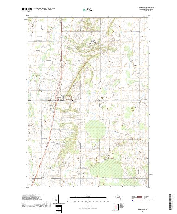
 1974 Greenleaf1978 Print · USGSCentral Brown County in the mid-seventies reveals a landscape defined by the East River and the rural crossroads of Greenleaf. Genealogists and historians can trace old family roads, St Marys Sch, and the grounds of the Holland State Wildlife Area.
 - 1984 Map of Appleton, 1985 Print
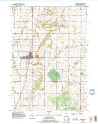
 1984 Appleton1985 Print · USGSThe Fox River Valley in the mid-eighties shows a bustling corridor of industry and nature, from the shores of Lake Winnebago to the Oneida Indian Reservation. Trace local heritage through landmarks like Riverside Cem or explore the wetlands of Poygan Marsh State Wildlife Area.2 unique versions available
 - 1992 Map of Greenleaf, 1996 Print
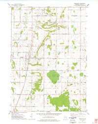
 1992 Greenleaf1996 Print · USGSBrown County's rural townships are documented in the early 1990s as the agricultural landscape of Wrightstown and Holland evolved. Researchers can locate family sites such as St Johns Cem, the community of Askeaton, and the industrial footprint of the Quarry near Greenleaf.
 - 2010 Map of Greenleaf, 2010 Print
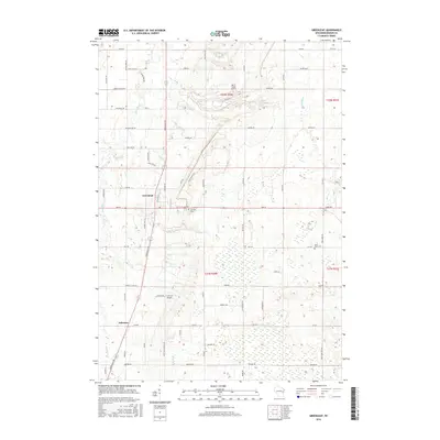
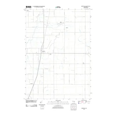 2010 Greenleaf2010 Print · USGSCovers Askeaton, including Morrison, Holland, and other nearby areas
 - 2013 Map of Greenleaf, 2013 Print
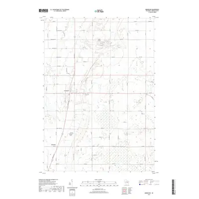
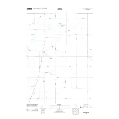 2013 Greenleaf2013 Print · USGSCovers Askeaton, including Morrison, Holland, and other nearby areas
 - 2016 Map of Greenleaf, 2016 Print
 2016 Greenleaf2016 Print · USGSCovers Askeaton, including Morrison, Holland, and other nearby areas
 - 2018 Map of Greenleaf, 2018 Print
 2018 Greenleaf2018 Print · USGSCovers Askeaton, including Morrison, Holland, and other nearby areas
 - 2022 Map of Greenleaf, 2022 Print
 2022 Greenleaf2022 Print · USGSSouthern Brown County in the early 2020s remains a landscape of quiet rural settlements and historic thoroughfares. Genealogists and local historians can trace family-named routes and landmarks from Greenleaf down to Askeaton, including Fairview Cem and the Old Military Rd.
End of results
Showing maps 1-10 of 10
Top cities near Askeaton
- Green Bay historical maps
- De Pere historical maps
- Kaukauna historical maps
- Allouez historical maps
- Bellevue historical maps
- Little Chute historical maps
See more
Frequently asked questions
- What are the different types of historical maps available for Askeaton?
- What is the oldest map of Askeaton?
- Where can I purchase historical maps of Askeaton for my home or office?
- Where can I download high-res historical maps of Askeaton?
- Are there historical topographic maps available for Askeaton?
- Is there historical aerial imagery available for Askeaton?
- Where are historical maps of Askeaton sourced from?