2020s Maps of Dover, Wisconsin
Explore 4 historic maps of Dover from the 2020s. These maps offer a rare glimpse into what life looked like during the 2020s — showing old roads, neighborhoods, homes, and landmarks that have changed or disappeared over time.
Whether you're researching your family's past, planning a metal detecting trip, or studying how Dover's landscape evolved across the 2020s, these high-resolution maps are a powerful tool for exploring the history of this region.
- Focus on a specific era: All maps on this page are from the 2020s, giving you a focused view of this time period.
- See what’s changed: Compare century-old streets, trails, and buildings to today's modern landscape using overlays and satellite layers.
- Research with precision: Use these maps for genealogy, historical research, land use analysis, or educational projects.
- View, download, or print: Maps are fully viewable online in high resolution, and can be downloaded or printed for your own records.
Start exploring Dover's history through authentic maps from the 2020s. This is your window into the past.
Dover, WI maps
(4)- 2022 Map of Rossman Creek, 2022 Print
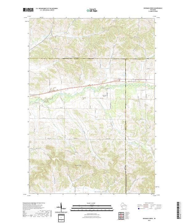 2022 Rossman Creek2022 Print · USGSBuffalo County and the surrounding tri-county area are shown in this modern survey of the Driftless-style terrain. Researchers can trace the winding Buffalo River corridor and locate local landmarks like the Log Cabin Airport and Bennett Ridge.
 - 2022 Map of Mondovi, 2022 Print
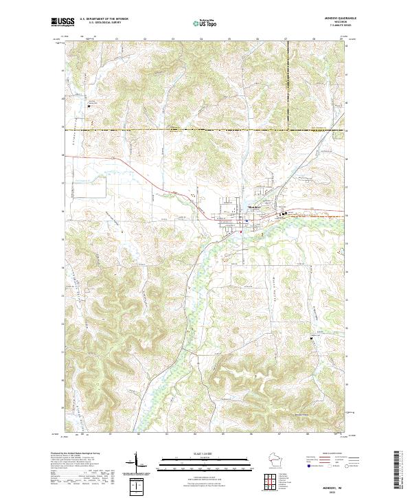 2022 Mondovi2022 Print · USGSMondovi and the surrounding river valleys are shown in detail as they appeared in the early 2020s. Genealogists can trace family connections at German Valley Cem, Naples Cem, and the cluster of cemeteries near Mirror Lake.
 - 2022 Map of Gilmanton, 2022 Print
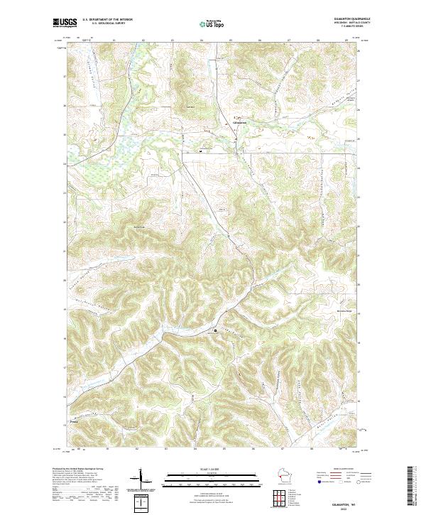 2022 Gilmanton2022 Print · USGSBuffalo County’s high ridges and deep valleys are mapped here in the early 2020s, showing a rural landscape of tight-knit agricultural communities. Researchers can locate family landmarks and burial sites like Rutchow Cem or trace the drainage of Elk Cr near the settlement of Gilmanton.
 - 2022 Map of Lookout, 2022 Print
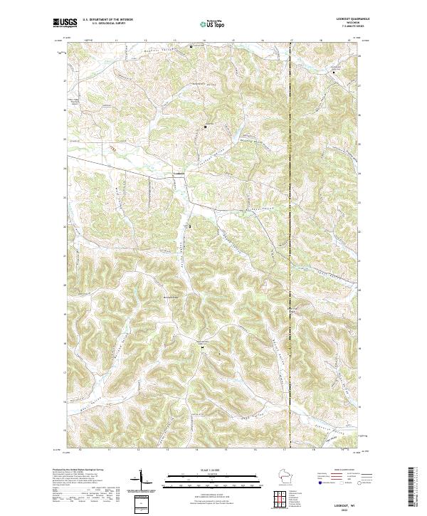 2022 Lookout2022 Print · USGSThe Buffalo and Trempealeau county border comes alive in this contemporary survey of its characteristic ridge-and-valley terrain. Researchers can trace family history through several rural cemeteries like Julson Cem and the namesake settlement of Lookout.
End of results
Showing maps 1-4 of 4
Top cities near Dover
- Arcadia historical maps
- Pleasant Valley historical maps
- Mondovi historical maps
- Whitehall historical maps
- Independence historical maps
- Strum historical maps
See more
Top neighborhoods of Dover
Frequently asked questions
- What are the different types of historical maps available for Dover?
- What is the oldest map of Dover?
- Where can I purchase historical maps of Dover for my home or office?
- Where can I download high-res historical maps of Dover?
- Are there historical topographic maps available for Dover?
- Is there historical aerial imagery available for Dover?
- Where are historical maps of Dover sourced from?