2000s (21st Century) Maps of Gilmanton, Wisconsin
Explore 20 historic maps of Gilmanton from the 2000s (21st Century). These maps offer a rare glimpse into what life looked like during the 2000s — showing old roads, neighborhoods, homes, and landmarks that have changed or disappeared over time.
Whether you're researching your family's past, planning a metal detecting trip, or studying how Gilmanton's landscape evolved across the 2000s, these high-resolution maps are a powerful tool for exploring the history of this region.
- Focus on a specific era: All maps on this page are from the 2000s, giving you a focused view of this time period.
- See what’s changed: Compare century-old streets, trails, and buildings to today's modern landscape using overlays and satellite layers.
- Research with precision: Use these maps for genealogy, historical research, land use analysis, or educational projects.
- View, download, or print: Maps are fully viewable online in high resolution, and can be downloaded or printed for your own records.
Start exploring Gilmanton's history through authentic maps from the 2000s. This is your window into the past.
Gilmanton, WI maps
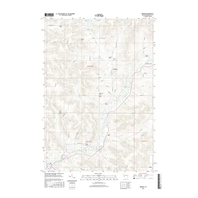
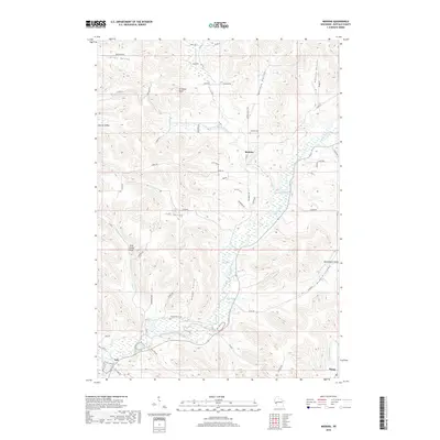
(20)- 2010 Map of Modena, 2010 Print
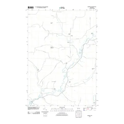 2010 Modena2010 Print · USGSCovers Gilmanton, including Modena, Tell, and other nearby areas
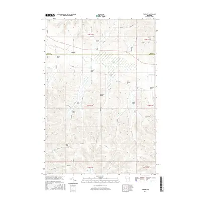
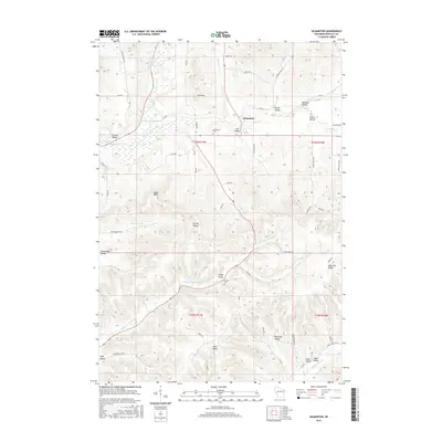
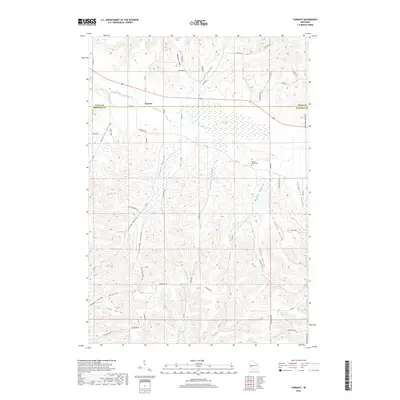
 - 2010 Map of Tarrant, 2010 Print
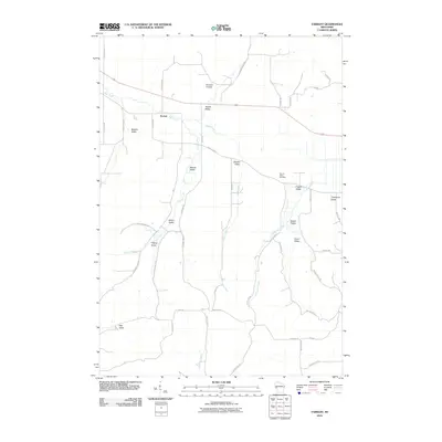 2010 Tarrant2010 Print · USGSCovers Gilmanton, including Lima, Modena, and other nearby areas
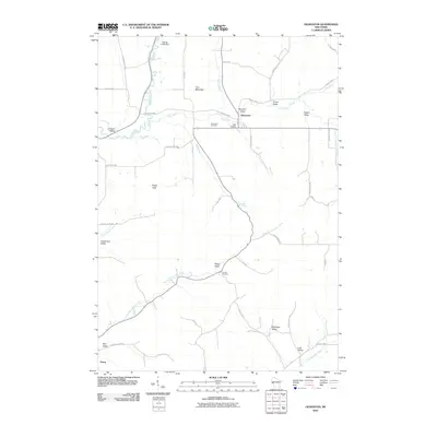
 - 2010 Map of Mondovi, 2010 Print
 2010 Mondovi2010 Print · USGSCovers Gilmanton, including Mondovi, Albany, and other nearby areas
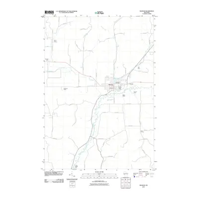
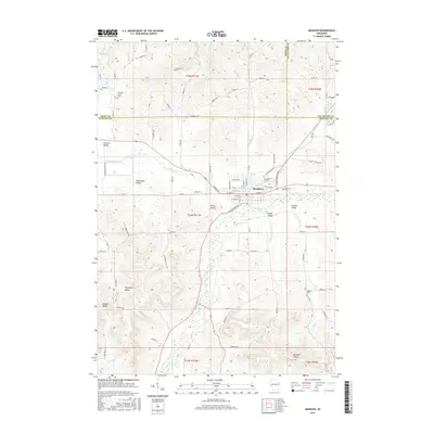
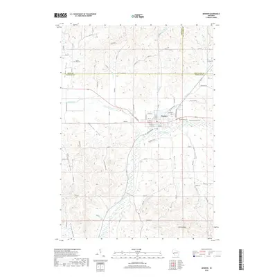
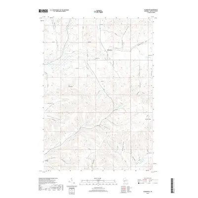
 - 2010 Map of Gilmanton, 2010 Print
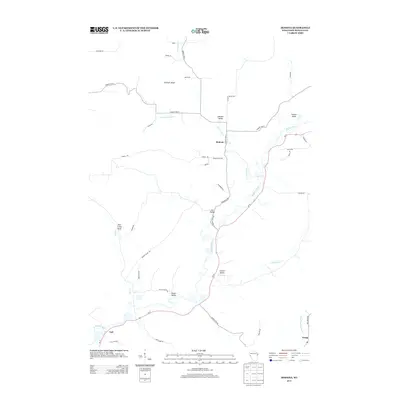
 2010 Gilmanton2010 Print · USGSCovers Gilmanton, including Montana, Dover, and other nearby areas
 - 2013 Map of Modena, 2013 Print
 2013 Modena2013 Print · USGSCovers Gilmanton, including Modena, Tell, and other nearby areas
 - 2013 Map of Gilmanton, 2013 Print
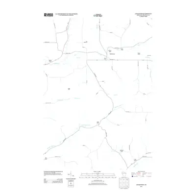 2013 Gilmanton2013 Print · USGSCovers Gilmanton, including Montana, Dover, and other nearby areas
 - 2013 Map of Tarrant, 2013 Print
 2013 Tarrant2013 Print · USGSCovers Gilmanton, including Lima, Modena, and other nearby areas
 - 2013 Map of Mondovi, 2013 Print
 2013 Mondovi2013 Print · USGSCovers Gilmanton, including Mondovi, Albany, and other nearby areas
 - 2015 Map of Tarrant, 2015 Print
 2015 Tarrant2015 Print · USGSCovers Gilmanton, including Lima, Modena, and other nearby areas
 - 2015 Map of Modena, 2015 Print
 2015 Modena2015 Print · USGSCovers Gilmanton, including Modena, Tell, and other nearby areas
 - 2015 Map of Mondovi, 2015 Print
 2015 Mondovi2015 Print · USGSCovers Gilmanton, including Mondovi, Albany, and other nearby areas
 - 2015 Map of Gilmanton, 2015 Print
 2015 Gilmanton2015 Print · USGSCovers Gilmanton, including Montana, Dover, and other nearby areas
 - 2018 Map of Tarrant, 2018 Print
 2018 Tarrant2018 Print · USGSCovers Gilmanton, including Lima, Modena, and other nearby areas
 - 2018 Map of Mondovi, 2018 Print
 2018 Mondovi2018 Print · USGSCovers Gilmanton, including Mondovi, Albany, and other nearby areas
 - 2018 Map of Gilmanton, 2018 Print
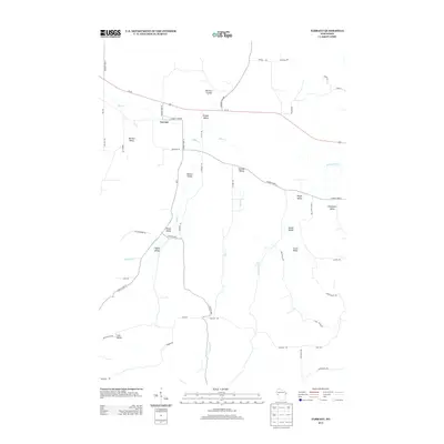
 2018 Gilmanton2018 Print · USGSCovers Gilmanton, including Montana, Dover, and other nearby areas
 - 2018 Map of Modena, 2018 Print
 2018 Modena2018 Print · USGSCovers Gilmanton, including Modena, Tell, and other nearby areas
 - 2022 Map of Mondovi, 2022 Print
 2022 Mondovi2022 Print · USGSMondovi and the surrounding river valleys are shown in detail as they appeared in the early 2020s. Genealogists can trace family connections at German Valley Cem, Naples Cem, and the cluster of cemeteries near Mirror Lake.
 - 2022 Map of Tarrant, 2022 Print
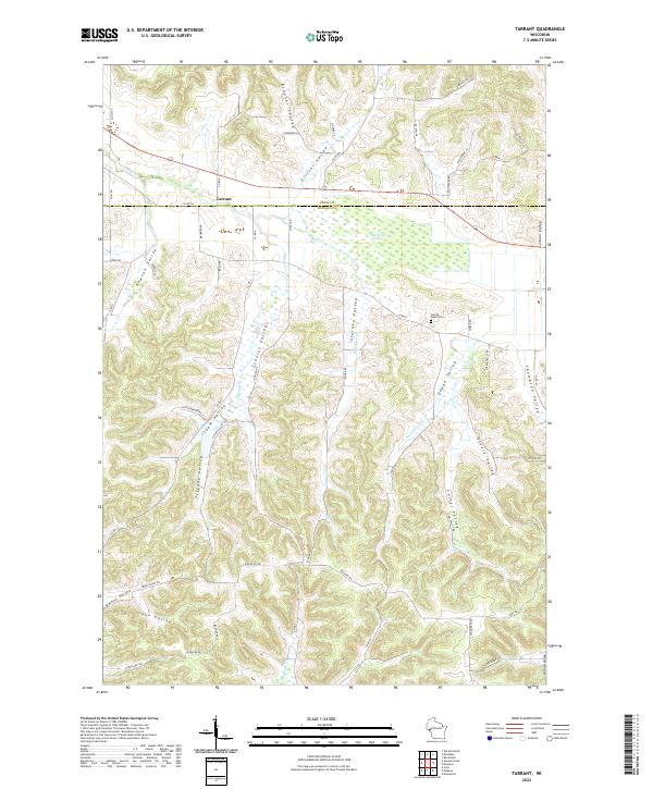 2022 Tarrant2022 Print · USGSThe steep coulees of Buffalo County are captured here in the 2020s, showing a landscape of family-named valleys and rural crossroads. Genealogists can locate Sacred Heart Cem and trace the paths through Newton Valley and Tiffany Valley.
 - 2022 Map of Gilmanton, 2022 Print
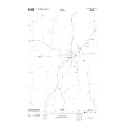
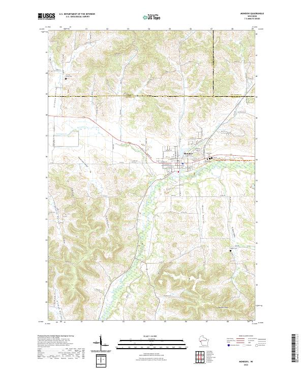
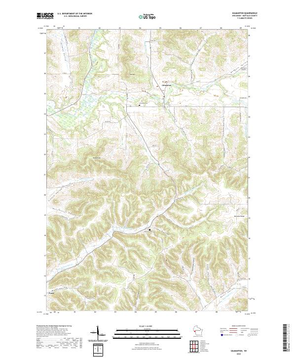 2022 Gilmanton2022 Print · USGSBuffalo County’s high ridges and deep valleys are mapped here in the early 2020s, showing a rural landscape of tight-knit agricultural communities. Researchers can locate family landmarks and burial sites like Rutchow Cem or trace the drainage of Elk Cr near the settlement of Gilmanton.
 - 2022 Map of Modena, 2022 Print
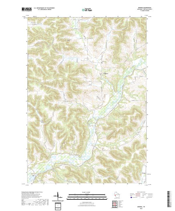 2022 Modena2022 Print · USGSBuffalo County's rugged coulee country is captured in the early twenty-first century, showing the enduring rural layout of the driftless area. Genealogists can trace family lands near Modena, Tell, and Praag, or locate the Modena Cem and Erickson Bluff.
End of results
Showing maps 1-20 of 20
Top cities near Gilmanton
- Arcadia historical maps
- Pleasant Valley historical maps
- Mondovi historical maps
- Red Cedar historical maps
- Buffalo City historical maps
- Alma historical maps
See more
Frequently asked questions
- What are the different types of historical maps available for Gilmanton?
- What is the oldest map of Gilmanton?
- Where can I purchase historical maps of Gilmanton for my home or office?
- Where can I download high-res historical maps of Gilmanton?
- Are there historical topographic maps available for Gilmanton?
- Is there historical aerial imagery available for Gilmanton?
- Where are historical maps of Gilmanton sourced from?