Old Maps of Urne, Wisconsin for Genealogy
Trace your family roots with 12 historic maps of Urne. These high-res maps reveal old neighborhoods, homesites, landmarks, and streets — helping you uncover where your ancestors lived and how the area evolved over time.
- Explore historic neighborhoods: Identify where your relatives may have lived in the 1800s or 1900s.
- Compare maps over time: Trace the changes in streets, buildings, and landmarks for multi-generational research.
- Perfect for genealogy & ancestry research: Used by family historians and researchers to map out lineage and migration.
These maps are an incredible resource for exploring your personal connection to Urne's past.
Urne, WI maps
(12)- 1932 Map of Alma
 1932 Alma1932 Print · USGSThe river valleys and high ridges of Buffalo County are captured here in the early 1930s, showing a landscape of small farms and rural schoolhouses. Genealogists and local historians can trace the foundations of this community through dozen of school sites like Mill Creek Sch and Cascade Sch, alongside the U S Game Refuge and the rail lines through Alma.2 unique versions available
 - 1950 Map of Alma, 1952 Print
 1950 Alma1952 Print · USGSThe Mississippi River valley serves as a bustling corridor for rail and river traffic at mid-century. Genealogists can trace family roots through numerous rural landmarks like St Paul Ch, Church Valley Cem, and the riverfront town of Alma.8 unique versions available
 - 1953 Map of Eau Claire, 1965 Print
 1953 Eau Claire1965 Print · USGSWest-central Wisconsin in the mid-fifties shows a landscape of river-valley industry and vast wildlife refuges during the transition from rails to modern highways. Genealogists and historians can trace the rail corridors of the Chicago and North Western or locate family-named landmarks like Decorah Mound and Chippewa Island.4 unique versions available
 - 1958 Map of Eau Claire
 1958 Eau Claire1958 Print · USGSWestern Wisconsin in the late fifties shows a landscape of growing regional hubs and massive wildlife refuges. Trace the rail lines of the Chicago and North Western between Eau Claire and Marshfield, or explore the terrain around Iron Mound and Lake Wissota.
 - 1964 Map of Eau Claire
 1964 Eau Claire1964 Print · USGSWest-central Wisconsin in the mid-1960s was a hub of river-driven industry and expanding rail networks. Researchers can trace historic homesteads near Menomonie, follow the Soo Line RR through Marshfield, or explore the grounds of the Camp McCoy Military Reservation.
 - 1974 Map of Urne, 1977 Print
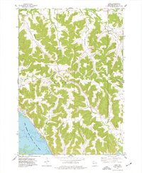 1974 Urne1977 Print · USGSBuffalo County's river bluffs and interior valleys are captured here in the mid-seventies, showing the intersection of rail transport and rural life. Researchers can locate family landmarks like Lyster Ch, Church Valley Cem, and the tracks of the Burlington Northern.
 - 1985 Map of Winona
 1985 Winona1985 Print · USGSThe Mississippi River valley and the coulees of the Driftless Area are shown here in the mid-1980s as the river's lock-and-dam system was well-established. Researchers can trace the riverfront at Winona, explore the bluffs near Galesville, or locate landmarks like Sugarloaf and Merrick State Park.2 unique versions available
 - 2010 Map of Urne, 2010 Print
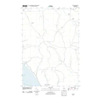 2010 Urne2010 Print · USGSBuffalo County's rugged coulee country is captured here in the early twenty-first century, showcasing the deeply carved valleys and bluffs north of the Mississippi. Researchers can locate family landmarks like Church Valley Cemetery, the settlement of Urne, and Nelson Cemetery.
 - 2013 Map of Urne, 2013 Print
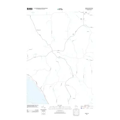 2013 Urne2013 Print · USGSBuffalo County's bluff country is captured here in the early twenty-first century, showing the rural settlement patterns near the Mississippi River. Genealogists and researchers can trace family lands such as Klopp Farm and landmark features like Rattlesnake Bluff and Urne.
 - 2015 Map of Urne, 2015 Print
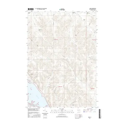 2015 Urne2015 Print · USGSBuffalo County, Wisconsin, is captured here in the mid-2010s, showing the intersection of the Mississippi River bottomlands and the steep bluffs. Researchers can trace family sites at Church Valley Cem or locate old homesteads near Urne and Fox Bluff.
 - 2018 Map of Urne, 2018 Print
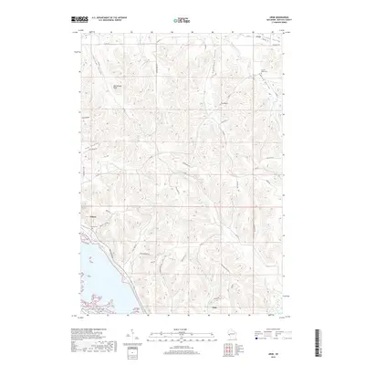 2018 Urne2018 Print · USGSBuffalo County is characterized by its steep bluffs and river valley settlements during the late 2010s. Genealogists and local historians can trace family-named landmarks and rural burial grounds like Church Valley Cem, Nelson Cem, and the prominent Rattlesnake Bluff.
 - 2022 Map of Urne, 2022 Print
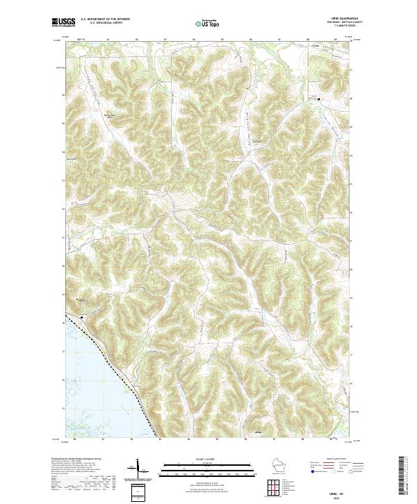 2022 Urne2022 Print · USGSBuffalo County is captured in the early 2020s, showing the steep coulees and river bluffs of the Driftless Area. Researchers can trace family sites near Nelson Cem, follow the winding Great River Rd, and locate landmarks like Rattlesnake Bluff and Urne.
End of results
Showing maps 1-12 of 12
Top cities near Urne
- Mondovi historical maps
- Wabasha historical maps
- Red Cedar historical maps
- Durand historical maps
- Eau Galle historical maps
- Alma historical maps
See more
Frequently asked questions
- What are the different types of historical maps available for Urne?
- What is the oldest map of Urne?
- Where can I purchase historical maps of Urne for my home or office?
- Where can I download high-res historical maps of Urne?
- Are there historical topographic maps available for Urne?
- Is there historical aerial imagery available for Urne?
- Where are historical maps of Urne sourced from?