Old Maps of Cleveland, Wisconsin for Genealogy
Trace your family roots with 18 historic maps of Cleveland. These high-res maps reveal old neighborhoods, homesites, landmarks, and streets — helping you uncover where your ancestors lived and how the area evolved over time.
- Explore historic neighborhoods: Identify where your relatives may have lived in the 1800s or 1900s.
- Compare maps over time: Trace the changes in streets, buildings, and landmarks for multi-generational research.
- Perfect for genealogy & ancestry research: Used by family historians and researchers to map out lineage and migration.
These maps are an incredible resource for exploring your personal connection to Cleveland's past.
Cleveland, WI maps
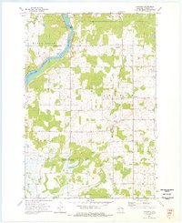
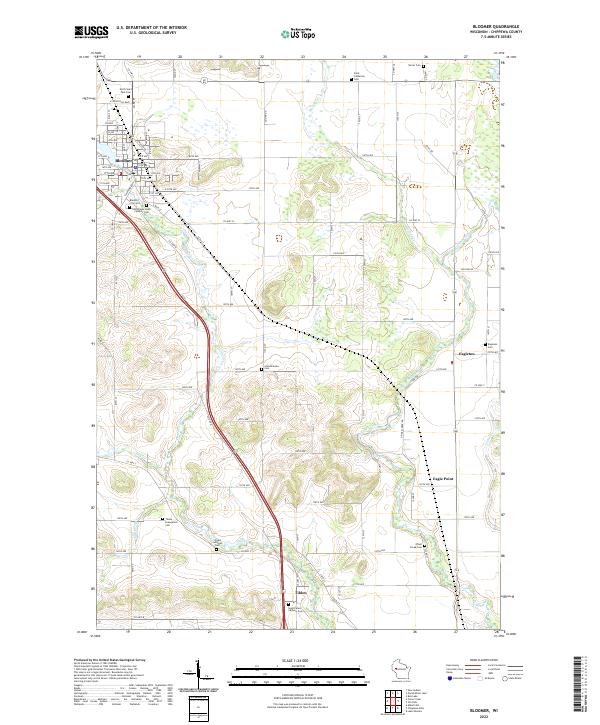
(18)- 1949 Map of Bloomer, 1966 Print
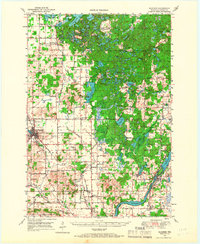 1949 Bloomer1966 Print · USGSCovers Cleveland, including Bloomer, Eagle Point, and other nearby areas2 unique versions available
 - 1951 Map of Bloomer
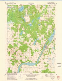
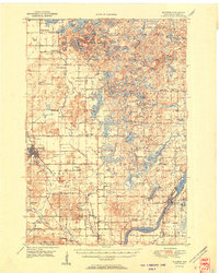 1951 Bloomer1951 Print · USGSCovers Cleveland, including Bloomer, Eagle Point, and other nearby areas2 unique versions available
 - 1951 Map of Cornell, 1953 Print
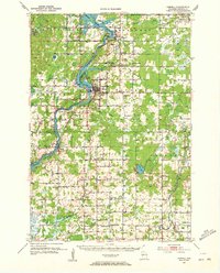 1951 Cornell1953 Print · USGSCovers Cleveland, including Eagle Point, Anson, and other nearby areas
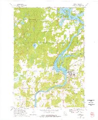
 - 1953 Map of Rice Lake, 1967 Print
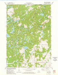
 1953 Rice Lake1967 Print · USGSCovers Cleveland, including Rice Lake, Minocqua, and other nearby areas2 unique versions available
 - 1959 Map of Rice Lake
 1959 Rice Lake1959 Print · USGSCovers Cleveland, including Rice Lake, Minocqua, and other nearby areas
 - 1973 Map of Cornell, 1977 Print
 1973 Cornell1977 Print · USGSCovers Cleveland, including Cornell, Lake Holcombe, and other nearby areas
 - 1973 Map of Crescent, 1977 Print
 1973 Crescent1977 Print · USGSCovers Cleveland, including Eagle Point, Anson, and other nearby areas
 - 1975 Map of Bob Lake, 1978 Print
 1975 Bob Lake1978 Print · USGSCovers Cleveland, including Birch Creek, Sampson, and other nearby areas
 - 1975 Map of Jim Falls, 1978 Print
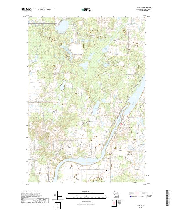
 1975 Jim Falls1978 Print · USGSCovers Cleveland, including Eagle Point, Anson, and other nearby areas
 - 1975 Map of Bloomer, 1978 Print
 1975 Bloomer1978 Print · USGSCovers Cleveland, including Bloomer, Eagle Point, and other nearby areas
 - 1975 Map of Marsh-Miller Lake, 1978 Print
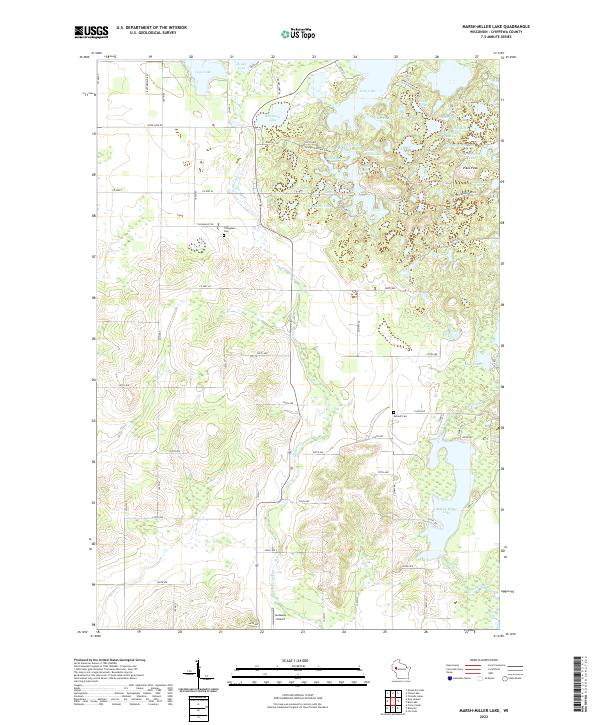
 1975 Marsh-Miller Lake1978 Print · USGSCovers Cleveland, including Sampson, Bloomer, and other nearby areas
 - 1980 Map of Bloomer
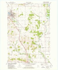
 1980 Bloomer1980 Print · USGSCovers Cleveland, including Rice Lake, Ladysmith, and other nearby areas
 - 2022 Map of Crescent, 2022 Print
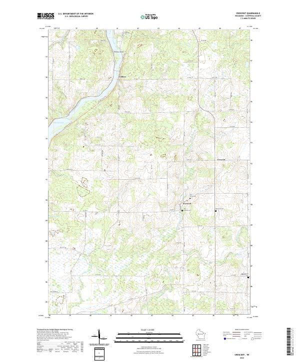 2022 Crescent2022 Print · USGSCovers Cleveland, including Eagle Point, Anson, and other nearby areas
 - 2022 Map of Bob Lake, 2022 Print
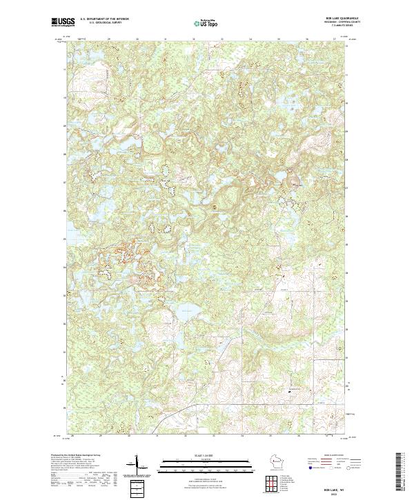 2022 Bob Lake2022 Print · USGSCovers Cleveland, including Birch Creek, Sampson, and other nearby areas
 - 2022 Map of Cornell, 2022 Print
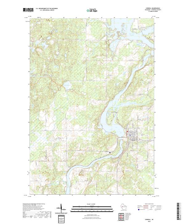 2022 Cornell2022 Print · USGSCovers Cleveland, including Cornell, Lake Holcombe, and other nearby areas
 - 2022 Map of Jim Falls, 2022 Print
 2022 Jim Falls2022 Print · USGSCovers Cleveland, including Eagle Point, Anson, and other nearby areas
 - 2022 Map of Marsh-Miller Lake, 2022 Print
 2022 Marsh-Miller Lake2022 Print · USGSCovers Cleveland, including Sampson, Bloomer, and other nearby areas
 - 2022 Map of Bloomer, 2022 Print
 2022 Bloomer2022 Print · USGSCovers Cleveland, including Bloomer, Eagle Point, and other nearby areas
End of results
Showing maps 1-18 of 18
Top cities near Cleveland
- Chippewa Falls historical maps
- Bloomer historical maps
- Eagle Point historical maps
- Anson historical maps
- Cornell historical maps
- Cadott historical maps
See more
Frequently asked questions
- What are the different types of historical maps available for Cleveland?
- What is the oldest map of Cleveland?
- Where can I purchase historical maps of Cleveland for my home or office?
- Where can I download high-res historical maps of Cleveland?
- Are there historical topographic maps available for Cleveland?
- Is there historical aerial imagery available for Cleveland?
- Where are historical maps of Cleveland sourced from?