Old Maps of Goetz, Wisconsin for Hiking & Exploration
Hike through history with 34 historic maps of Goetz. Explore old trails, ghost towns, and forgotten backroads — perfect for outdoor adventurers and local explorers.
- Rediscover forgotten places: Map out old mining camps, roads, and footpaths that no longer exist on modern maps.
- Layer with modern tools: Combine with LiDAR or satellite views to plan hikes through historical terrain.
- Made for exploration: Popular among hikers, overlanders, and local history lovers.
Use these maps to find adventure and explore the hidden past of Goetz.
Goetz, WI maps
(34)- 1951 Map of Cornell, 1953 Print
 1951 Cornell1953 Print · USGSCentral Chippewa County in the early fifties shows a landscape of river-driven industry and rural community life. Genealogists can trace family roots at Bohemia Cem or St Joseph Cem, and locate numerous schools like Firth Sch (Aband).
 - 1952 Map of Cadott, 1954 Print
 1952 Cadott1954 Print · USGSChippewa and Eau Claire counties were defined by a thriving network of small school districts and railroad towns in the early fifties. Genealogists can trace family roots through numerous sites like St Rose Cem, Bethlehem Ch, and Baker Sch.2 unique versions available
 - 1953 Map of Eau Claire, 1965 Print
 1953 Eau Claire1965 Print · USGSWest-central Wisconsin in the mid-fifties shows a landscape of river-valley industry and vast wildlife refuges during the transition from rails to modern highways. Genealogists and historians can trace the rail corridors of the Chicago and North Western or locate family-named landmarks like Decorah Mound and Chippewa Island.4 unique versions available
 - 1953 Map of Rice Lake, 1967 Print
 1953 Rice Lake1967 Print · USGSNorthwest Wisconsin during the mid-fifties reveals a landscape defined by timber, rail, and water. Genealogists and historians can trace the development of river towns like Ladysmith and Rice Lake along the Soo Line and Chicago and North Western railroads.2 unique versions available
 - 1958 Map of Eau Claire
 1958 Eau Claire1958 Print · USGSWestern Wisconsin in the late fifties shows a landscape of growing regional hubs and massive wildlife refuges. Trace the rail lines of the Chicago and North Western between Eau Claire and Marshfield, or explore the terrain around Iron Mound and Lake Wissota.
 - 1959 Map of Rice Lake
 1959 Rice Lake1959 Print · USGSNorthwest Wisconsin in the late fifties was a land of expanding road networks and deep-seated timber history. Genealogists and historians can trace rail lines like the Soo Line RR and Chicago St Paul Minneapolis and Omaha Ry as they link settlements from Spooner to Medford.
 - 1964 Map of Eau Claire
 1964 Eau Claire1964 Print · USGSWest-central Wisconsin in the mid-1960s was a hub of river-driven industry and expanding rail networks. Researchers can trace historic homesteads near Menomonie, follow the Soo Line RR through Marshfield, or explore the grounds of the Camp McCoy Military Reservation.
 - 1973 Map of Colburn, 1976 Print
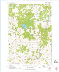 1973 Colburn1976 Print · USGSChippewa County is captured here in the early seventies, showing a landscape defined by the winding Yellow River and the township boundaries of Estella and Delmar. Researchers can locate the small settlement of Colburn and trace family roots at the Walker-Jackson Cem near the riverbanks.
 - 1973 Map of Crescent, 1977 Print
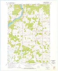 1973 Crescent1977 Print · USGSChippewa County in the early seventies remains defined by its winding river valleys and rural crossroads settlements. Researchers can trace the heritage of small communities through landmarks like the Bohemian Cem, Cobban, and the Big Drywood Ch.
 - 1976 Map of Cadott NE, 1979 Print
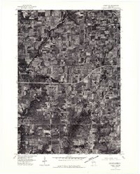 1976 Cadott NE1979 Print · USGSChippewa County agricultural life is captured in the mid-seventies, showing the precise layout of farmsteads and field lines across the Wisconsin countryside. Trace the development of Boyd and the rural crossroads of Edson Center along the winding path of the Yellow River.
 - 1979 Map of Cadott, 1980 Print
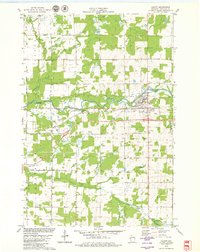 1979 Cadott1980 Print · USGSCadott and the surrounding Wisconsin townships are shown in detail during the late 1970s, as the Yellow River shaped the local geography. Researchers can find several burial sites like St Rose Cem and Goetz Cem, or trace rural landmarks like the Crane Landing Strip.
 - 1979 Map of Boyd, 1980 Print
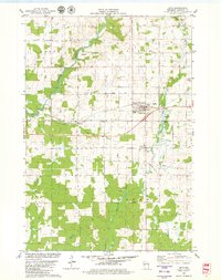 1979 Boyd1980 Print · USGSChippewa County agriculture and industry are well-established in the late seventies as the rail lines and rivers shaped local commerce. Researchers can locate family sites near St Peter Cem or trace the early paths of the Soo Line and the Yellow River.
 - 1980 Map of Bloomer
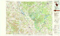 1980 Bloomer1980 Print · USGSNorthwestern Wisconsin at the start of the eighties shows a landscape deeply connected to its rivers and rail lines. Genealogists and historians can trace the growth of Bloomer, Ladysmith, and Chetek or locate local landmarks like Brunet Island State Park and the Soo Line rail corridors.
 - 1985 Map of Eau Claire
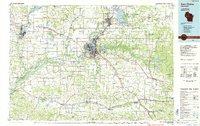 1985 Eau Claire1985 Print · USGSWestern Wisconsin's river valleys and growing mid-century cities are captured here in the mid-eighties. Genealogists and historians can trace the paths of the Chicago and North Western railroad and locate rural landmarks like Dells Millpond and Nine Mile Island.2 unique versions available
 - 2010 Map of Boyd, 2010 Print
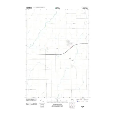 2010 Boyd2010 Print · USGSThe village of Boyd and the surrounding township of Edson are documented here during the first decade of the new millennium. Family history researchers can trace the locations of Saint Peter Cemetery, Saint Joseph Cemetery, and several crossings of the Yellow River.
 - 2010 Map of Colburn, 2010 Print
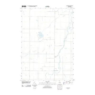 2010 Colburn2010 Print · USGSChippewa County agriculture and the winding Yellow River define this rural landscape in the early twenty-first century. Genealogists and local historians can locate the Walker-Jackson Cemetery and trace the paths of Pike Creek and Big Drywood Creek.
 - 2010 Map of Crescent, 2010 Print
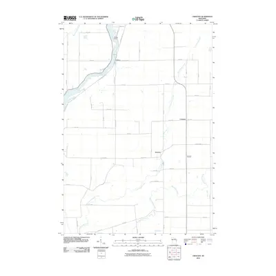 2010 Crescent2010 Print · USGSChippewa County is shown here in the early twenty-first century, centered on the river valleys and rural crossroads of Eagle Point. Genealogists and local historians can trace family land near the Bohemian Cemetery or follow the river from Cobban to Willow Island.
 - 2010 Map of Cadott, 2010 Print
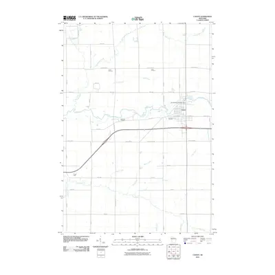 2010 Cadott2010 Print · USGSCadott and the surrounding Wisconsin countryside are captured here in the early twenty-first century, centered on the Yellow River. Local researchers can locate family sites at Union Cemetery or Saint Rose Cemetery and trace the town's industrial ties to the Svetlik Milling Company Dam.
 - 2013 Map of Boyd, 2013 Print
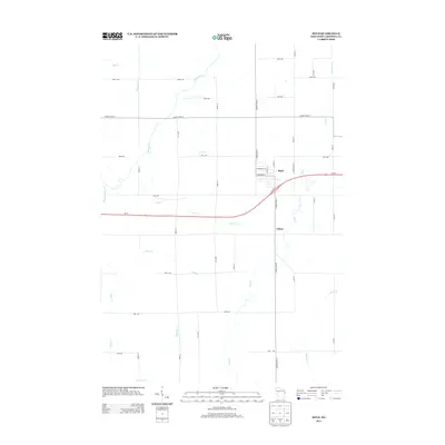 2013 Boyd2013 Print · USGSChippewa County agriculture and small-town life are captured here in the early 2010s. Local researchers can trace the roads and waterways around the village of Boyd and the settlement of Edson, following the paths of the Yellow River and Turner Cr.
 - 2013 Map of Cadott, 2013 Print
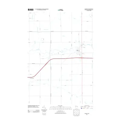 2013 Cadott2013 Print · USGSCadott and the surrounding Chippewa County countryside are documented here in the early twenty-first century as the village expanded near the Yellow River. Researchers can trace local landmarks and waterways including Crane Field Airport, Big Drywood Cr, and Paint Cr.
 - 2013 Map of Crescent, 2013 Print
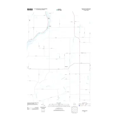 2013 Crescent2013 Print · USGSChippewa County is documented here in the early twenty-first century as the landscape shifts from the Chippewa River banks to inland farming communities. Researchers can trace rural property patterns and local landmarks from Cobban to the namesake settlement of Crescent.
 - 2013 Map of Colburn, 2013 Print
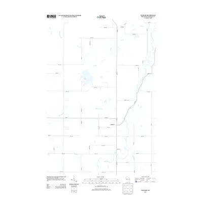 2013 Colburn2013 Print · USGSChippewa County is captured here in the early twenty-first century, showing a landscape defined by the winding Yellow River and rural farmsteads. Local historians can trace the drainage of Big Drywood Cr and locate family landmarks like Pike Lake or Quimet Hills Rd.
 - 2015 Map of Cadott, 2015 Print
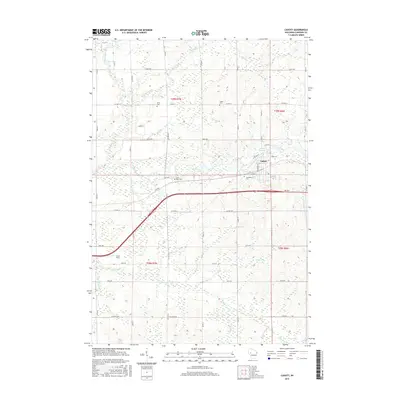 2015 Cadott2015 Print · USGSIn this modern survey of Chippewa County, the village of Cadott stands at the crossing of the Yellow River and a dense rural road network. Genealogists and local historians can trace family locations near several burial sites, including Union Cem, Goetz Cem, and Saint Rose Cem.
 - 2015 Map of Boyd, 2015 Print
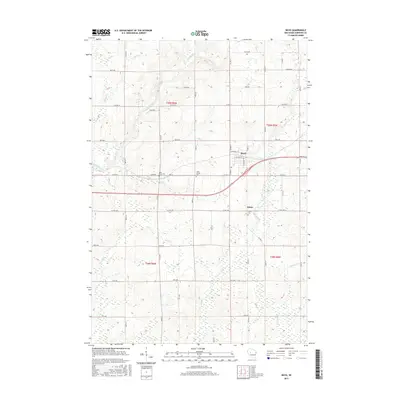 2015 Boyd2015 Print · USGSChippewa County farmland and the village of Boyd are documented here in the mid-2010s as the local economy balances agriculture with the BUS 29 corridor. Genealogists can trace family names and local history at Saint Peter Cem, Saint Joseph Cem, and Union Cem.
 - 2015 Map of Crescent, 2015 Print
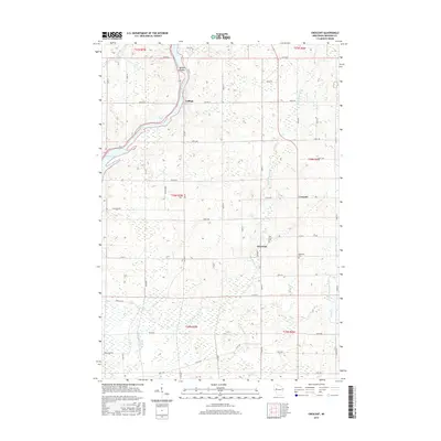 2015 Crescent2015 Print · USGSChippewa County in the mid-2010s remains a landscape of river-fed valleys and quiet rural crossroads. Researchers can trace family ties at the Bohemian Cem or locate old homestead sites near Cobban, Drywood, and the Chippewa River.
Showing maps 1-25 of 34
Top cities near Goetz
- Eau Claire historical maps
- Chippewa Falls historical maps
- Lake Hallie historical maps
- Town of Lafayette historical maps
- Stanley historical maps
- Eagle Point historical maps
See more
Frequently asked questions
- What are the different types of historical maps available for Goetz?
- What is the oldest map of Goetz?
- Where can I purchase historical maps of Goetz for my home or office?
- Where can I download high-res historical maps of Goetz?
- Are there historical topographic maps available for Goetz?
- Is there historical aerial imagery available for Goetz?
- Where are historical maps of Goetz sourced from?