Old Maps of Lafayette, Wisconsin for Genealogy
Trace your family roots with 31 historic maps of Lafayette. These high-res maps reveal old neighborhoods, homesites, landmarks, and streets — helping you uncover where your ancestors lived and how the area evolved over time.
- Explore historic neighborhoods: Identify where your relatives may have lived in the 1800s or 1900s.
- Compare maps over time: Trace the changes in streets, buildings, and landmarks for multi-generational research.
- Perfect for genealogy & ancestry research: Used by family historians and researchers to map out lineage and migration.
These maps are an incredible resource for exploring your personal connection to Lafayette's past.
Lafayette, WI maps
(31)- 1934 Map of Chippewa Falls, 1967 Print
 1934 Chippewa Falls1967 Print · USGSThe Chippewa and Eau Claire River valleys are captured here in the 1930s as vital rail and water hubs. Genealogists can locate family-named landmarks like Old Badger Mills, Anson Sta, and dozens of rural schoolhouses such as Tilden Mill Sch.2 unique versions available
 - 1936 Map of Chippewa Falls
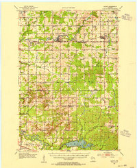
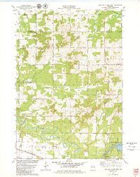
 1936 Chippewa Falls1936 Print · USGSChippewa Falls and Eau Claire are captured here in the mid-1930s, showing a landscape defined by the convergence of major rivers and the massive Lake Wissota. Trace the rail lines of the C and NW Line or locate ancestral sites like Old Badger Mills, Hallie Ch, and numerous rural schools.3 unique versions available
 - 1952 Map of Cadott, 1954 Print
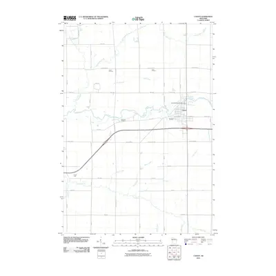
 1952 Cadott1954 Print · USGSChippewa and Eau Claire counties were defined by a thriving network of small school districts and railroad towns in the early fifties. Genealogists can trace family roots through numerous sites like St Rose Cem, Bethlehem Ch, and Baker Sch.2 unique versions available
 - 1953 Map of Eau Claire, 1965 Print
 1953 Eau Claire1965 Print · USGSWest-central Wisconsin in the mid-fifties shows a landscape of river-valley industry and vast wildlife refuges during the transition from rails to modern highways. Genealogists and historians can trace the rail corridors of the Chicago and North Western or locate family-named landmarks like Decorah Mound and Chippewa Island.4 unique versions available
 - 1958 Map of Eau Claire
 1958 Eau Claire1958 Print · USGSWestern Wisconsin in the late fifties shows a landscape of growing regional hubs and massive wildlife refuges. Trace the rail lines of the Chicago and North Western between Eau Claire and Marshfield, or explore the terrain around Iron Mound and Lake Wissota.
 - 1964 Map of Eau Claire
 1964 Eau Claire1964 Print · USGSWest-central Wisconsin in the mid-1960s was a hub of river-driven industry and expanding rail networks. Researchers can trace historic homesteads near Menomonie, follow the Soo Line RR through Marshfield, or explore the grounds of the Camp McCoy Military Reservation.
 - 1972 Map of Fall Creek, 1975 Print
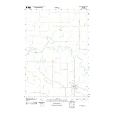
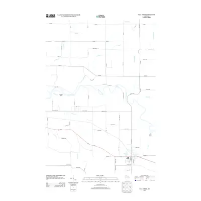
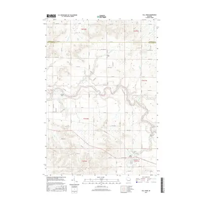
 1972 Fall Creek1975 Print · USGSThe Eau Claire River corridor is captured here in the early seventies, showing a landscape shaped by dairy farming and the rail-line economy. Genealogists can trace family footprints near St Bridgets Cem, Seymour Central Sch, and the village of Fall Creek.
 - 1972 Map of Lake Wissota, 1975 Print
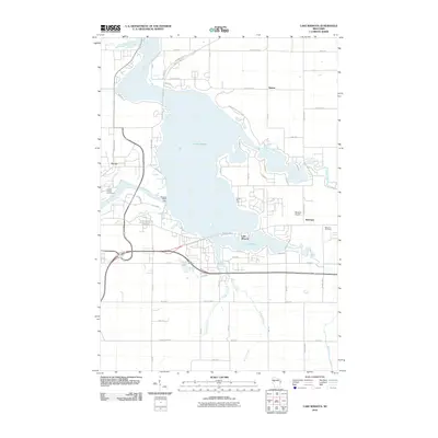
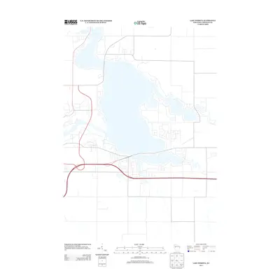
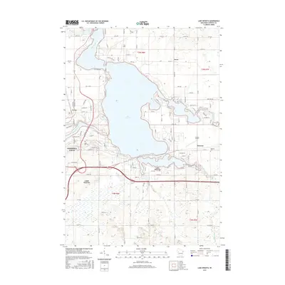
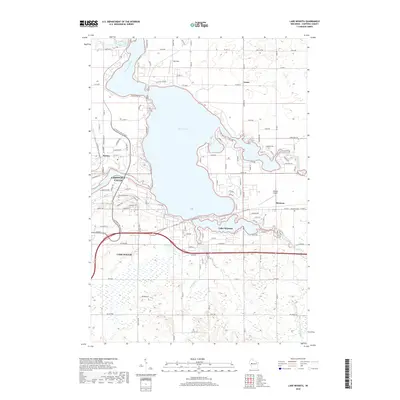
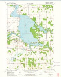 1972 Lake Wissota1975 Print · USGSLake Wissota and the eastern outskirts of Chippewa Falls are seen here in the early seventies as the area balanced recreation with industry. Trace local genealogy and infrastructure at Home Park Cem, Anson (Station), and the Soo Line railroad.
 - 1979 Map of Cadott, 1980 Print
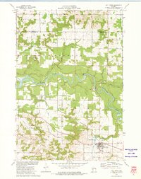
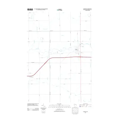
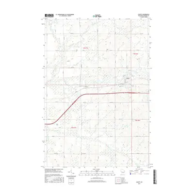
 1979 Cadott1980 Print · USGSCadott and the surrounding Wisconsin townships are shown in detail during the late 1970s, as the Yellow River shaped the local geography. Researchers can find several burial sites like St Rose Cem and Goetz Cem, or trace rural landmarks like the Crane Landing Strip.
 - 1979 Map of Lake Eau Claire West, 1980 Print
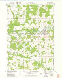
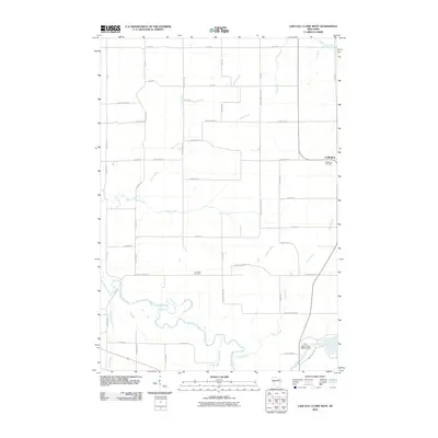
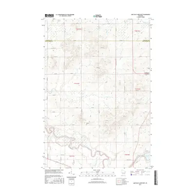
 1979 Lake Eau Claire West1980 Print · USGSThe Eau Claire river valley in the late seventies was a landscape of winding creeks and quiet settlements. Researchers can trace rural landmarks like Ludington, locate the Ludington Cem, or follow the Chicago and North Western rail line.
 - 1985 Map of Eau Claire
 1985 Eau Claire1985 Print · USGSWestern Wisconsin's river valleys and growing mid-century cities are captured here in the mid-eighties. Genealogists and historians can trace the paths of the Chicago and North Western railroad and locate rural landmarks like Dells Millpond and Nine Mile Island.2 unique versions available
 - 2010 Map of Fall Creek, 2010 Print
 2010 Fall Creek2010 Print · USGSCovers Lafayette, including Eau Claire, Seymour, and other nearby areas
 - 2010 Map of Lake Wissota, 2010 Print
 2010 Lake Wissota2010 Print · USGSCovers Lafayette, including Chippewa Falls, Lake Hallie, and other nearby areas
 - 2010 Map of Lake Eau Claire West, 2010 Print
 2010 Lake Eau Claire West2010 Print · USGSCovers Lafayette, including Seymour, Town of Lincoln, and other nearby areas
 - 2010 Map of Cadott, 2010 Print
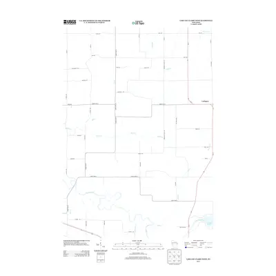
 2010 Cadott2010 Print · USGSCovers Lafayette, including Anson, Cadott, and other nearby areas
 - 2013 Map of Cadott, 2013 Print
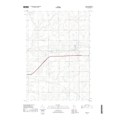
 2013 Cadott2013 Print · USGSCovers Lafayette, including Anson, Cadott, and other nearby areas
 - 2013 Map of Lake Eau Claire West, 2013 Print
 2013 Lake Eau Claire West2013 Print · USGSCovers Lafayette, including Seymour, Town of Lincoln, and other nearby areas
 - 2013 Map of Fall Creek, 2013 Print
 2013 Fall Creek2013 Print · USGSCovers Lafayette, including Eau Claire, Seymour, and other nearby areas
 - 2013 Map of Lake Wissota, 2013 Print
 2013 Lake Wissota2013 Print · USGSCovers Lafayette, including Chippewa Falls, Lake Hallie, and other nearby areas
 - 2015 Map of Lake Eau Claire West, 2015 Print
 2015 Lake Eau Claire West2015 Print · USGSCovers Lafayette, including Seymour, Town of Lincoln, and other nearby areas
 - 2015 Map of Fall Creek, 2015 Print
 2015 Fall Creek2015 Print · USGSCovers Lafayette, including Eau Claire, Seymour, and other nearby areas
 - 2015 Map of Cadott, 2015 Print
 2015 Cadott2015 Print · USGSCovers Lafayette, including Anson, Cadott, and other nearby areas
 - 2015 Map of Lake Wissota, 2015 Print
 2015 Lake Wissota2015 Print · USGSCovers Lafayette, including Chippewa Falls, Lake Hallie, and other nearby areas
 - 2018 Map of Cadott, 2018 Print
 2018 Cadott2018 Print · USGSCovers Lafayette, including Anson, Cadott, and other nearby areas
 - 2018 Map of Lake Wissota, 2018 Print
 2018 Lake Wissota2018 Print · USGSCovers Lafayette, including Chippewa Falls, Lake Hallie, and other nearby areas
Showing maps 1-25 of 31
Top cities near Lafayette
- Eau Claire historical maps
- Chippewa Falls historical maps
- Altoona historical maps
- Lake Hallie historical maps
- Town of Washington historical maps
- Town of Lafayette historical maps
See more
Top neighborhoods of Lafayette
Frequently asked questions
- What are the different types of historical maps available for Lafayette?
- What is the oldest map of Lafayette?
- Where can I purchase historical maps of Lafayette for my home or office?
- Where can I download high-res historical maps of Lafayette?
- Are there historical topographic maps available for Lafayette?
- Is there historical aerial imagery available for Lafayette?
- Where are historical maps of Lafayette sourced from?