Old Maps of New Auburn, Wisconsin for Genealogy
Trace your family roots with 11 historic maps of New Auburn. These high-res maps reveal old neighborhoods, homesites, landmarks, and streets — helping you uncover where your ancestors lived and how the area evolved over time.
- Explore historic neighborhoods: Identify where your relatives may have lived in the 1800s or 1900s.
- Compare maps over time: Trace the changes in streets, buildings, and landmarks for multi-generational research.
- Perfect for genealogy & ancestry research: Used by family historians and researchers to map out lineage and migration.
These maps are an incredible resource for exploring your personal connection to New Auburn's past.
New Auburn, WI maps
(11)- 1949 Map of New Auburn, 1967 Print
 1949 New Auburn1967 Print · USGSWisconsin's rural dairy and timber heartland is meticulously documented here just after the war, showing the tight-knit settlement of western Chippewa County. Genealogists can trace family roots through numerous local landmarks like Fox Settlement, Lower Lutheran Ch, and New Auburn Cem.
 - 1951 Map of New Auburn
 1951 New Auburn1951 Print · USGSThe intersection of Barron, Dunn, and Chippewa counties comes into focus in the early 1950s, showing a landscape thick with local school districts and rural parishes. Genealogists can trace family footprints through dozens of named sites like Fox Settlement Sch, Dovre Ch, and the New Auburn Cem.
 - 1953 Map of Rice Lake, 1967 Print
 1953 Rice Lake1967 Print · USGSNorthwest Wisconsin during the mid-fifties reveals a landscape defined by timber, rail, and water. Genealogists and historians can trace the development of river towns like Ladysmith and Rice Lake along the Soo Line and Chicago and North Western railroads.2 unique versions available
 - 1959 Map of Rice Lake
 1959 Rice Lake1959 Print · USGSNorthwest Wisconsin in the late fifties was a land of expanding road networks and deep-seated timber history. Genealogists and historians can trace rail lines like the Soo Line RR and Chicago St Paul Minneapolis and Omaha Ry as they link settlements from Spooner to Medford.
 - 1975 Map of New Auburn, 1978 Print
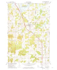 1975 New Auburn1978 Print · USGSWestern Wisconsin life in the mid-seventies centers on the village of New Auburn and its position along the Chicago and North Western railroad. Researchers can locate family sites at the New Auburn Cem, trace Duncan Creek, or explore the wooded Old Maids Bluff.
 - 1980 Map of Bloomer
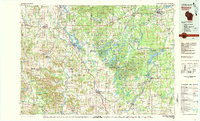 1980 Bloomer1980 Print · USGSNorthwestern Wisconsin at the start of the eighties shows a landscape deeply connected to its rivers and rail lines. Genealogists and historians can trace the growth of Bloomer, Ladysmith, and Chetek or locate local landmarks like Brunet Island State Park and the Soo Line rail corridors.
 - 2010 Map of New Auburn, 2010 Print
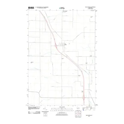 2010 New Auburn2010 Print · USGSThe village of New Auburn and its surrounding farmstead grid are captured here in the early twenty-first century. Genealogists and local historians can locate several rural burial sites, such as Marquardt Cemetery and Pleasant Valley Cemetery, alongside landmarks like Old Maids Bluff.
 - 2013 Map of New Auburn, 2013 Print
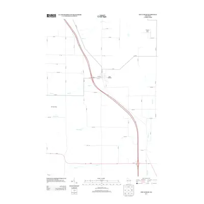 2013 New Auburn2013 Print · USGSNew Auburn and its surrounding townships are captured in detail during the early 2010s. Local historians and land researchers can trace the rural landscape from Old Maids Bluff to the banks of Sand Cr and the Vetterkind Strip Airport.
 - 2015 Map of New Auburn, 2015 Print
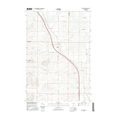 2015 New Auburn2015 Print · USGSNew Auburn and the surrounding dairy lands of Barron and Chippewa Counties are captured here during the mid-2010s. Genealogists can locate family landmarks like New Auburn Cem, Duncan Creek Cem, and the prominent Old Maids Bluff.
 - 2018 Map of New Auburn, 2018 Print
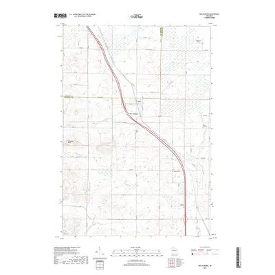 2018 New Auburn2018 Print · USGSNew Auburn sits at the junction of Barron and Chippewa counties in this contemporary topographical view of the Wisconsin heartland. Local historians can locate family plots at Marquardt Cem and Pleasant Valley Cem or trace the winding course of Duncan Cr near Old Maids Bluff.
 - 2022 Map of New Auburn, 2022 Print
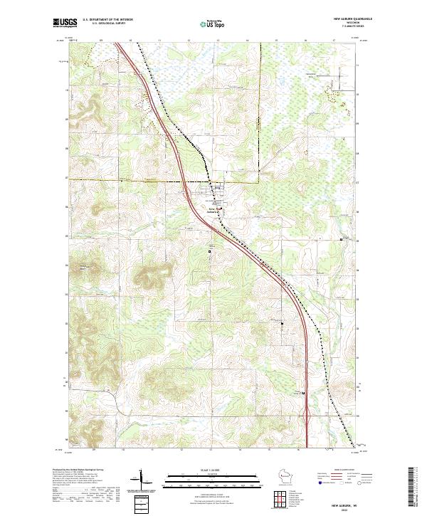 2022 New Auburn2022 Print · USGSNew Auburn sits at the tri-county intersection of Barron, Chippewa, and Dunn during the early twenty-first century. Genealogists can locate family sites at New Auburn Cem, Duncan Creek Cem, and the New Auburn Seventh Day Baptist Church.
End of results
Showing maps 1-11 of 11
Top cities near New Auburn
- Rice Lake historical maps
- Bloomer historical maps
- Eagle Point historical maps
- Chetek historical maps
- Tainter historical maps
- Anson historical maps
See more
Frequently asked questions
- What are the different types of historical maps available for New Auburn?
- What is the oldest map of New Auburn?
- Where can I purchase historical maps of New Auburn for my home or office?
- Where can I download high-res historical maps of New Auburn?
- Are there historical topographic maps available for New Auburn?
- Is there historical aerial imagery available for New Auburn?
- Where are historical maps of New Auburn sourced from?