Old Maps of Town of Colfax, Wisconsin
Explore 12 old maps of Town of Colfax, spanning from 1934 to today. These high-resolution historic maps reveal how streets, neighborhoods, landmarks, and natural features evolved over time — perfect for genealogy, metal detecting, research, and local history exploration.
What you can do with these maps:
- See how Town of Colfax changed over time: Compare historical maps to modern-day views to trace roads, homesites, rail lines & more.
- View detailed metadata: Each map includes creators, publishers, year, scale, and archive source.
- Overlay maps with satellite & LiDAR: Visualize the past alongside modern tools to explore terrain & human change.
- Trusted historical sources: Maps sourced from the USGS, Library of Congress, and other archives.
- Access maps your way: View online, download high-res files, or order prints for personal or research use.
Start exploring old maps of Town of Colfax to uncover forgotten places, hidden landmarks, and the deep history beneath your feet.
Town of Colfax, WI maps
(12)- 1934 Map of Elk Mound, 1960 Print
 1934 Elk Mound1960 Print · USGSDunn and Eau Claire counties come alive in this mid-thirties survey, showing the intricate network of rural schools and the bustling rail corridor through Elk Mound. Genealogists can trace family roots at Porters Mills, Big Elk Creek Ch, or numerous local school sites like Waneka Sch.2 unique versions available
 - 1936 Map of Elk Mound
 1936 Elk Mound1936 Print · USGSDunn and Eau Claire Counties in the mid-thirties show a landscape of thriving rural school districts and river-bound commerce. Genealogists can trace family landmarks like The Yankee Woods or locate vanished sites like Porters Mills and the Old Meridean Ferry.2 unique versions available
 - 1953 Map of Eau Claire, 1965 Print
 1953 Eau Claire1965 Print · USGSWest-central Wisconsin in the mid-fifties shows a landscape of river-valley industry and vast wildlife refuges during the transition from rails to modern highways. Genealogists and historians can trace the rail corridors of the Chicago and North Western or locate family-named landmarks like Decorah Mound and Chippewa Island.4 unique versions available
 - 1958 Map of Eau Claire
 1958 Eau Claire1958 Print · USGSWestern Wisconsin in the late fifties shows a landscape of growing regional hubs and massive wildlife refuges. Trace the rail lines of the Chicago and North Western between Eau Claire and Marshfield, or explore the terrain around Iron Mound and Lake Wissota.
 - 1964 Map of Eau Claire
 1964 Eau Claire1964 Print · USGSWest-central Wisconsin in the mid-1960s was a hub of river-driven industry and expanding rail networks. Researchers can trace historic homesteads near Menomonie, follow the Soo Line RR through Marshfield, or explore the grounds of the Camp McCoy Military Reservation.
 - 1972 Map of Colfax South, 1975 Print
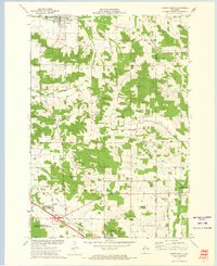 1972 Colfax South1975 Print · USGSDunn County at the start of the 1970s shows a landscape defined by its river valleys and established rail lines. Genealogists and local historians can trace the foundations of Colfax and Elk Mound, and locate rural landmarks such as Big Elk Creek Ch and Evergreen Cem.
 - 1985 Map of Eau Claire
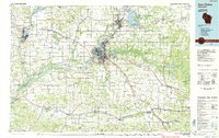 1985 Eau Claire1985 Print · USGSWestern Wisconsin's river valleys and growing mid-century cities are captured here in the mid-eighties. Genealogists and historians can trace the paths of the Chicago and North Western railroad and locate rural landmarks like Dells Millpond and Nine Mile Island.2 unique versions available
 - 2010 Map of Colfax South, 2010 Print
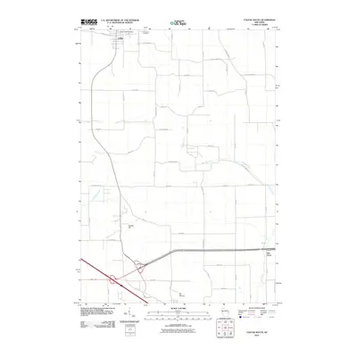 2010 Colfax South2010 Print · USGSDunn County farmland and small-town life are captured here at the start of the decade, showing the transition between Colfax and Elk Mound. Researchers can trace old family sites near Evergreen Cemetery or follow the waters of Big Elk Creek past Panther Hill.
 - 2013 Map of Colfax South, 2013 Print
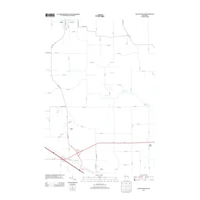 2013 Colfax South2013 Print · USGSDunn County at the start of the 2010s shows a landscape of river valleys and agricultural grids between Colfax and Elk Mound. Genealogists and local historians can trace the paths of Big Elk Cr, identify property near Panther Hill, and locate the small settlement of Pine Grove.
 - 2015 Map of Colfax South, 2015 Print
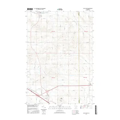 2015 Colfax South2015 Print · USGSDunn County agricultural lands and creek valleys are documented here during the mid-2010s. Researchers can trace the layout of Colfax and Elk Mound, locating local landmarks like Evergreen Cem and the summit of Panther Hill.
 - 2018 Map of Colfax South, 2018 Print
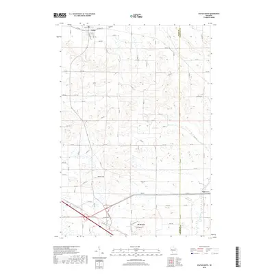 2018 Colfax South2018 Print · USGSDunn County at the turn of the 21st century remains a landscape of high ridges and winding valley streams. Genealogists and historians can trace the rural infrastructure around Colfax, Elk Mound, and the Evergreen Cem, or locate family landmarks near Panther Hill.
 - 2022 Map of Colfax South, 2022 Print
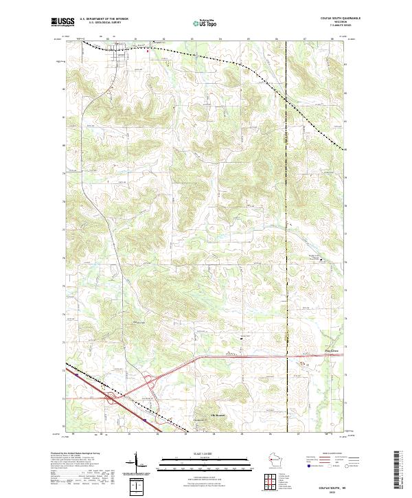 2022 Colfax South2022 Print · USGSDunn County farmland and the village of Colfax appear in high detail on this contemporary survey of the Wisconsin landscape. Genealogists can locate family sites near Evergreen Cem, Barum Cem, or the landmark Elk Mound and Panther Hill elevations.
End of results
Showing maps 1-12 of 12
Top cities near Town of Colfax
- Eau Claire historical maps
- Menomonie historical maps
- Lake Hallie historical maps
- Bloomer historical maps
- Town of Wheaton historical maps
- Union historical maps
See more
Frequently asked questions
- What are the different types of historical maps available for Town of Colfax?
- What is the oldest map of Town of Colfax?
- Where can I purchase historical maps of Town of Colfax for my home or office?
- Where can I download high-res historical maps of Town of Colfax?
- Are there historical topographic maps available for Town of Colfax?
- Is there historical aerial imagery available for Town of Colfax?
- Where are historical maps of Town of Colfax sourced from?