Old Maps of Clayton, Wisconsin for Genealogy
Trace your family roots with 18 historic maps of Clayton. These high-res maps reveal old neighborhoods, homesites, landmarks, and streets — helping you uncover where your ancestors lived and how the area evolved over time.
- Explore historic neighborhoods: Identify where your relatives may have lived in the 1800s or 1900s.
- Compare maps over time: Trace the changes in streets, buildings, and landmarks for multi-generational research.
- Perfect for genealogy & ancestry research: Used by family historians and researchers to map out lineage and migration.
These maps are an incredible resource for exploring your personal connection to Clayton's past.
Clayton, WI maps
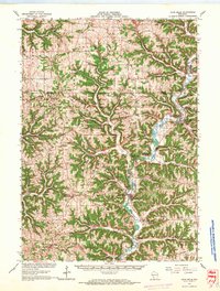
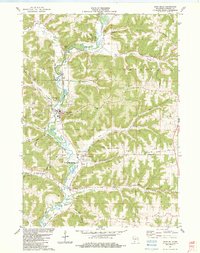
(18)- 1924 Map of Gays Mills, 1957 Print
 1924 Gays Mills1957 Print · USGSCovers Clayton, including Seneca, Soldiers Grove, and other nearby areas
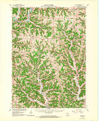
 - 1926 Map of Gays Mills
 1926 Gays Mills1926 Print · USGSCovers Clayton, including Seneca, Soldiers Grove, and other nearby areas
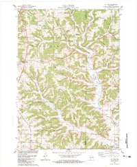
 - 1933 Map of Boaz
 1933 Boaz1933 Print · USGSCovers Clayton, including Soldiers Grove, Sylvan, and other nearby areas2 unique versions available
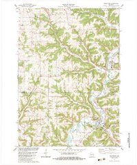
 - 1958 Map of La Crosse, 1979 Print
 1958 La Crosse1979 Print · USGSCovers Clayton, including La Crosse, Winona, and other nearby areas2 unique versions available
 - 1961 Map of La Crosse
 1961 La Crosse1961 Print · USGSCovers Clayton, including La Crosse, Winona, and other nearby areas
 - 1965 Map of La Crosse
 1965 La Crosse1965 Print · USGSCovers Clayton, including La Crosse, Winona, and other nearby areas
 - 1966 Map of Gays Mills, 1968 Print
 1966 Gays Mills1968 Print · USGSCovers Clayton, including Seneca, Soldiers Grove, and other nearby areas
 - 1966 Map of Boaz, 1968 Print
 1966 Boaz1968 Print · USGSCovers Clayton, including Soldiers Grove, Sylvan, and other nearby areas
 - 1976 Map of La Crosse
 1976 La Crosse1976 Print · USGSCovers Clayton, including La Crosse, Winona, and other nearby areas
 - 1983 Map of Mt. Zion
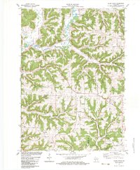
 1983 Mt. Zion1983 Print · USGSCovers Clayton, including Scott, Rolling Ground, and other nearby areas
 - 1983 Map of Readstown
 1983 Readstown1983 Print · USGSCovers Clayton, including Soldiers Grove, Readstown, and other nearby areas
 - 1983 Map of Gays Mills
 1983 Gays Mills1983 Print · USGSCovers Clayton, including Gays Mills, Bell Center, and other nearby areas
 - 1983 Map of Sugar Grove
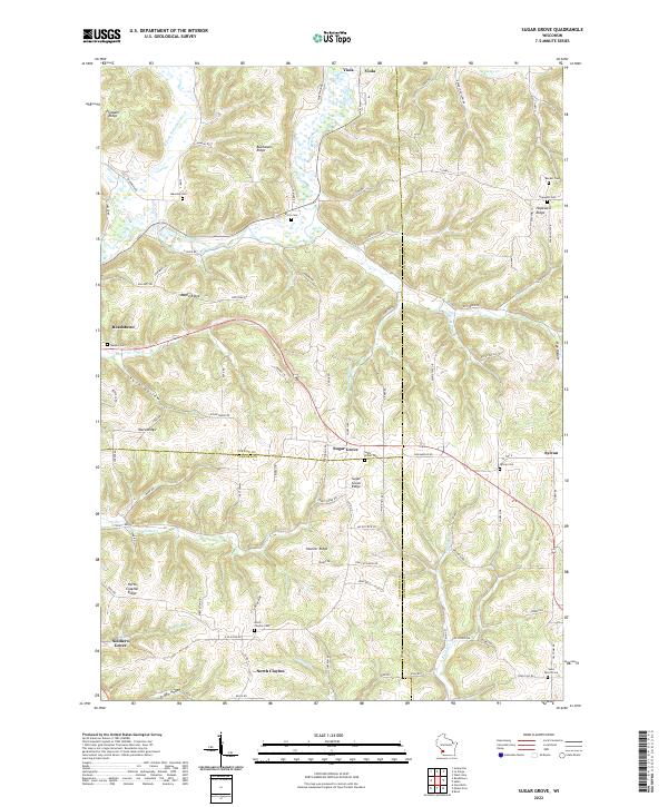
 1983 Sugar Grove1983 Print · USGSCovers Clayton, including Soldiers Grove, Sylvan, and other nearby areas
 - 1985 Map of Richland Center, 1991 Print
 1985 Richland Center1991 Print · USGSCovers Clayton, including Richland Center, Boscobel, and other nearby areas
 - 2022 Map of Sugar Grove, 2022 Print
 2022 Sugar Grove2022 Print · USGSCovers Clayton, including Soldiers Grove, Sylvan, and other nearby areas
 - 2022 Map of Mount Zion, 2022 Print
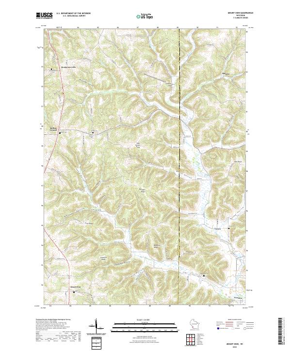 2022 Mount Zion2022 Print · USGSCovers Clayton, including Scott, Richwood, and other nearby areas
 - 2022 Map of Gays Mills, 2022 Print
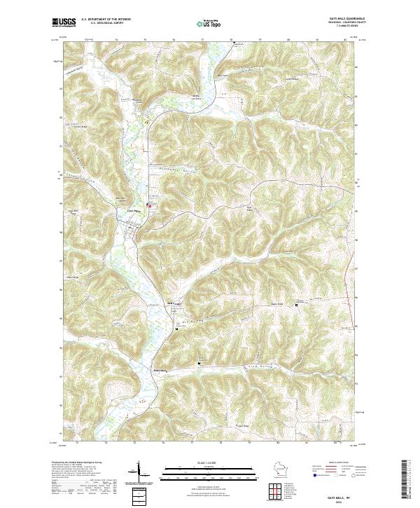 2022 Gays Mills2022 Print · USGSCovers Clayton, including Gays Mills, Bell Center, and other nearby areas
 - 2022 Map of Readstown, 2022 Print
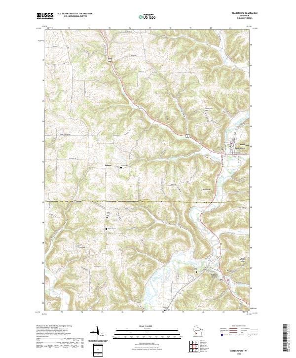 2022 Readstown2022 Print · USGSCovers Clayton, including Soldiers Grove, Readstown, and other nearby areas
End of results
Showing maps 1-18 of 18
Top cities near Clayton
- Viroqua historical maps
- Boscobel historical maps
- Seneca historical maps
- La Farge historical maps
- Soldiers Grove historical maps
- Gays Mills historical maps
See more
Top neighborhoods of Clayton
Frequently asked questions
- What are the different types of historical maps available for Clayton?
- What is the oldest map of Clayton?
- Where can I purchase historical maps of Clayton for my home or office?
- Where can I download high-res historical maps of Clayton?
- Are there historical topographic maps available for Clayton?
- Is there historical aerial imagery available for Clayton?
- Where are historical maps of Clayton sourced from?