Old Maps of Eastman, Wisconsin for Genealogy
Trace your family roots with 54 historic maps of Eastman. These high-res maps reveal old neighborhoods, homesites, landmarks, and streets — helping you uncover where your ancestors lived and how the area evolved over time.
- Explore historic neighborhoods: Identify where your relatives may have lived in the 1800s or 1900s.
- Compare maps over time: Trace the changes in streets, buildings, and landmarks for multi-generational research.
- Perfect for genealogy & ancestry research: Used by family historians and researchers to map out lineage and migration.
These maps are an incredible resource for exploring your personal connection to Eastman's past.
Eastman, WI maps
(54)- 1903 Map of Waukon
 1903 Waukon1903 Print · USGSThe Upper Mississippi River valley comes alive in the early 1900s, showing a landscape of steep bluffs, river landings, and early rail lines. You can trace the path of the Chicago Milwaukee and St. Paul RR to the county seat at Waukon or find old riverfront points like Harpers Ferry and Lansing.5 unique versions available
 - 1926 Map of Wauzeka
 1926 Wauzeka1926 Print · USGSThe confluence of the Kickapoo and Wisconsin Rivers in the 1920s reveals a landscape of ridge-top schools and valley railroads. Genealogists can trace family locations near Wauzeka, Woodman, and the Crawford County Infirmary, or find old rural sites like Anderson Mills.2 unique versions available
 - 1929 Map of Prairie Du Chien, 1963 Print
 1929 Prairie Du Chien1963 Print · USGSThe Mississippi River valley of Crawford County at the end of the twenties shows a landscape of complex sloughs and rugged ridges. Genealogists can locate family schoolhouses like Frenchtown Sch and Hazen Corners Sch or trace the early rail lines through Prairie du Chien.
 - 1932 Map of Prairie Du Chien
 1932 Prairie Du Chien1932 Print · USGSCrawford County at the confluence of the two great rivers in the early thirties shows a landscape of ridge-top schools and bustling riverfront rail towns. Genealogists can trace family footprints at Wrights Ferry, Hazen Corners, or rural outposts like Lamer Ridge Sch.4 unique versions available
 - 1958 Map of La Crosse, 1979 Print
 1958 La Crosse1979 Print · USGSThe Driftless Area of Wisconsin and Iowa is captured here during the late seventies, showing the intricate river valleys and ridge-top settlements. Genealogists and historians can trace the rail corridors of the Soo Line or locate landmarks like Grandad Bluff and Effigy Mounds National Monument.2 unique versions available
 - 1961 Map of La Crosse
 1961 La Crosse1961 Print · USGSThe Driftless Area at the start of the 1960s reveals a complex network of river towns and rail lines along the Mississippi River. Genealogists and historians can trace old settlements like New Amsterdam and Wyattville or locate major landmarks like Camp McCoy Military Reservation and Effigy Mounds National Monument.
 - 1965 Map of La Crosse
 1965 La Crosse1965 Print · USGSThe Driftless Area and the Upper Mississippi valley are captured here during a period of steady mid-century growth. Researchers can trace the rail lines of the Chicago and North Western or locate riverfront sites like Effigy Mounds National Monument and the Camp McCoy Military Reservation.
 - 1967 Map of Prairie Du Chien, 1969 Print
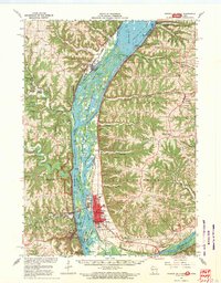 1967 Prairie Du Chien1969 Print · USGSThe river-and-rail hub of the Upper Mississippi comes alive in this late-sixties study of the Wisconsin-Iowa border. Genealogists can locate family names at Campbell Cem and Hazen Corners Cem or trace old rail lines through Harpers Ferry and Marquette.
 - 1967 Map of Wauzeka, 1970 Print
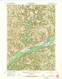 1967 Wauzeka1970 Print · USGSCrawford and Grant Counties are captured here in the late sixties as the river valleys and ridge-top farms maintained their traditional layouts. Trace the paths of the Chicago Milwaukee St Paul and Pacific railroad through Wauzeka or locate rural landmarks like St Lawrence Ch and the Kickapoo Indian Caverns.
 - 1976 Map of La Crosse
 1976 La Crosse1976 Print · USGSThe Driftless Area and Mississippi River valley are captured here in the mid-seventies, showing a landscape of deep coulees and river commerce. Genealogists can trace family footprints from La Crosse to smaller hamlets like Newburg Corners and Witoka.
 - 1983 Map of Prairie Du Chien
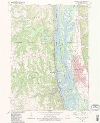 1983 Prairie Du Chien1983 Print · USGSThe Mississippi River valley at Prairie Du Chien shows a landscape of river-and-rail commerce during the early eighties. Researchers can trace local heritage through the Ft Crawford Nat Cem, the grounds of St Marys Academy, and the tracks of the Burlington Northern.2 unique versions available
 - 1983 Map of Eastman
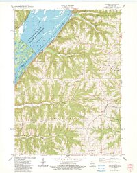 1983 Eastman1983 Print · USGSThe riverfront and blufftops of Crawford County are shown here in the early eighties, where the Mississippi River meets the heavy rail corridors of the Burlington Northern. Genealogists and historians can trace local landmarks like St Wenceslaus Ch, the National Cem, and South Sch.
 - 1983 Map of Bridgeport
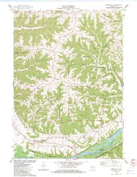 1983 Bridgeport1983 Print · USGSThe bluffs of the Wisconsin River are captured here in the early eighties, showing the ridge-and-valley topography of Crawford County. Genealogists and researchers can locate Bridgeport Cem, the local Townhall, and the Prairie Du Chien Airport.
 - 1983 Map of Wauzeka West
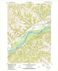 1983 Wauzeka West1983 Print · USGSThe confluence of the Wisconsin and Kickapoo rivers is mapped here during the early eighties, showing a landscape defined by dramatic ridges and deep hollows. Genealogists and local historians can trace family locations near Wauzeka, Millville, and Gran Grae Cem.
 - 1983 Map of Crowley Ridge
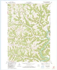 1983 Crowley Ridge1983 Print · USGSCrawford County in the early eighties reveals a landscape of sharp ridges and deep hollows defined by the meandering Kickapoo River. Genealogists and local historians can locate rural landmarks like Stewart Cem, the settlement of Shanghai, and the distinctive formation known as The Hogback.
 - 1983 Map of Steuben
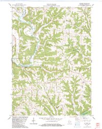 1983 Steuben1983 Print · USGSThe Kickapoo River valley in the early 1980s reveals a network of ridge-top farms and river-bottom settlements. Genealogists can trace family names through several rural burial grounds like Haney Valley Cem and Posey Cem or locate the Haney Sch.
 - 1983 Map of Harpers Ferry
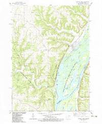 1983 Harpers Ferry1983 Print · USGSThe Mississippi River corridor near the Iowa-Wisconsin border is shown here in the early eighties as a hub of rail traffic and conservation. Researchers can trace the river's backwater sloughs, find the Luster Heights Prison Farm, and locate St Joseph Cem and Kass Memorial Chapel.
 - 1985 Map of Decorah
 1985 Decorah1985 Print · USGSNortheast Iowa and western Wisconsin in the mid-eighties show a landscape of high bluffs and river valleys shaped by the Upper Iowa and Mississippi Rivers. Genealogists and historians can trace the paths of the Chicago Milwaukee St Paul and Pacific railroad or locate the National Cemetery and the ancient earthworks at Effigy Mounds National Monument.2 unique versions available
 - 1985 Map of Richland Center, 1991 Print
 1985 Richland Center1991 Print · USGSSouthwest Wisconsin’s driftless landscape in the mid-1980s is defined by its deep river valleys and tight agricultural settlements. Researchers can trace family-named landmarks like Mickelson Ridge or find remote churches and schools near Richland Center and Dodgeville.
 - 2010 Map of Crowley Ridge, 2010 Print
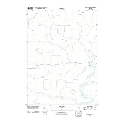 2010 Crowley Ridge2010 Print · USGSCrawford County's ridgeland and river valleys are captured here in the early twenty-first century. Genealogists and local historians can trace family locations and upland landmarks like Shanghai Ridge Cemetery, Crowley Ridge, and Citron Valley.
 - 2010 Map of Steuben, 2010 Print
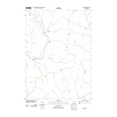 2010 Steuben2010 Print · USGSCrawford County's river-cut ridges and hollows are documented here at the turn of the 21st century. Genealogists can trace family names and burial sites at Haney Valley Cemetery, Posey Cemetery, and the riverside hamlet of Barnum.
 - 2010 Map of Wauzeka West, 2010 Print
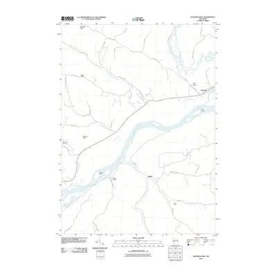 2010 Wauzeka West2010 Print · USGSThe confluence of the Wisconsin and Kickapoo rivers defines this Crawford County landscape in the early 2000s. Local researchers can trace family landmarks and rural settlements from Wauzeka down to Millville, including Sacred Heart Cemetery and Harris Island.
 - 2010 Map of Eastman, 2010 Print
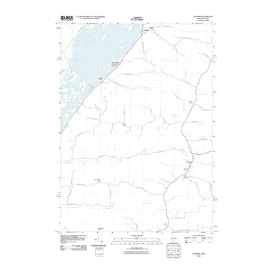 2010 Eastman2010 Print · USGSCrawford County's river bluffs and ridge-top farms are recorded here in the early twenty-first century. Genealogists can locate family sites at Campbell Cemetery or Saint Wencelaus Cemetery, and trace local roads through Lynxville and Eastman.
 - 2010 Map of Bridgeport, 2010 Print
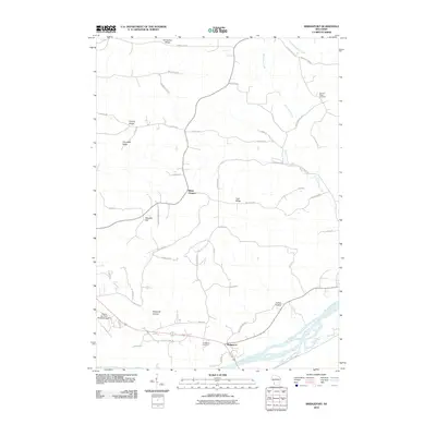 2010 Bridgeport2010 Print · USGSCrawford County's bluff-and-valley landscape is captured here in the early twenty-first century as the Wisconsin River passes the settlement of Bridgeport. Researchers can trace rural lineages at the German Ridge Cemetery or locate landmarks like White Corners and Irish Ridge.
 - 2010 Map of Harpers Ferry, 2010 Print
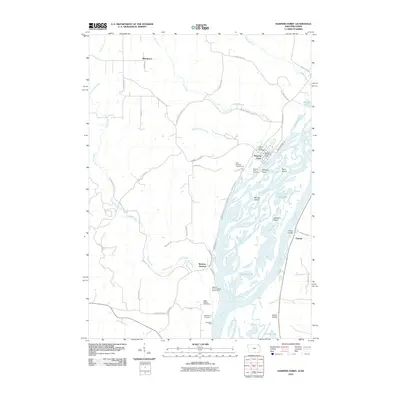 2010 Harpers Ferry2010 Print · USGSHarpers Ferry and the Mississippi River's intricate sloughs are captured here during the first decade of the new millennium. Researchers can trace the riverfront at Johnsons Port, locate the Harpers Ferry Cemetery, and find the remote Luster Heights Work Camp.
Showing maps 1-25 of 54
Top cities near Eastman
- Prairie du Chien historical maps
- Bridgeport historical maps
- Lansing historical maps
- Seneca historical maps
- Wauzeka historical maps
- McGregor historical maps
See more
Top neighborhoods of Eastman
Frequently asked questions
- What are the different types of historical maps available for Eastman?
- What is the oldest map of Eastman?
- Where can I purchase historical maps of Eastman for my home or office?
- Where can I download high-res historical maps of Eastman?
- Are there historical topographic maps available for Eastman?
- Is there historical aerial imagery available for Eastman?
- Where are historical maps of Eastman sourced from?