2000s (21st Century) Maps of Prairie du Chien, Wisconsin
Explore 10 historic maps of Prairie du Chien from the 2000s (21st Century). These maps offer a rare glimpse into what life looked like during the 2000s — showing old roads, neighborhoods, homes, and landmarks that have changed or disappeared over time.
Whether you're researching your family's past, planning a metal detecting trip, or studying how Prairie du Chien's landscape evolved across the 2000s, these high-resolution maps are a powerful tool for exploring the history of this region.
- Focus on a specific era: All maps on this page are from the 2000s, giving you a focused view of this time period.
- See what’s changed: Compare century-old streets, trails, and buildings to today's modern landscape using overlays and satellite layers.
- Research with precision: Use these maps for genealogy, historical research, land use analysis, or educational projects.
- View, download, or print: Maps are fully viewable online in high resolution, and can be downloaded or printed for your own records.
Start exploring Prairie du Chien's history through authentic maps from the 2000s. This is your window into the past.
Prairie du Chien, WI maps
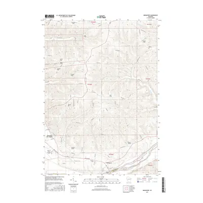
(10)- 2010 Map of Bridgeport, 2010 Print
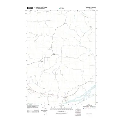 2010 Bridgeport2010 Print · USGSCovers Prairie du Chien, including Bridgeport, Wyalusing, and other nearby areas
 - 2010 Map of Prairie du Chien, 2010 Print
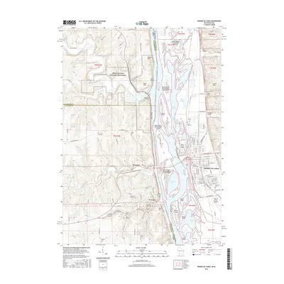
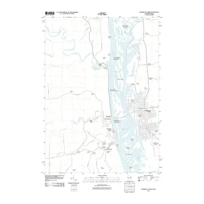 2010 Prairie du Chien2010 Print · USGSCovers Prairie du Chien, including Bridgeport, McGregor, and other nearby areas
 - 2013 Map of Prairie du Chien, 2013 Print
 2013 Prairie du Chien2013 Print · USGSCovers Prairie du Chien, including Bridgeport, McGregor, and other nearby areas
 - 2013 Map of Bridgeport, 2013 Print
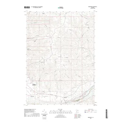
 2013 Bridgeport2013 Print · USGSCovers Prairie du Chien, including Bridgeport, Wyalusing, and other nearby areas
 - 2015 Map of Prairie du Chien, 2015 Print
 2015 Prairie du Chien2015 Print · USGSCovers Prairie du Chien, including Bridgeport, McGregor, and other nearby areas
 - 2015 Map of Bridgeport, 2015 Print
 2015 Bridgeport2015 Print · USGSCovers Prairie du Chien, including Bridgeport, Wyalusing, and other nearby areas
 - 2018 Map of Bridgeport, 2018 Print
 2018 Bridgeport2018 Print · USGSCovers Prairie du Chien, including Bridgeport, Wyalusing, and other nearby areas
 - 2018 Map of Prairie du Chien, 2018 Print
 2018 Prairie du Chien2018 Print · USGSCovers Prairie du Chien, including Bridgeport, McGregor, and other nearby areas
 - 2022 Map of Bridgeport, 2022 Print
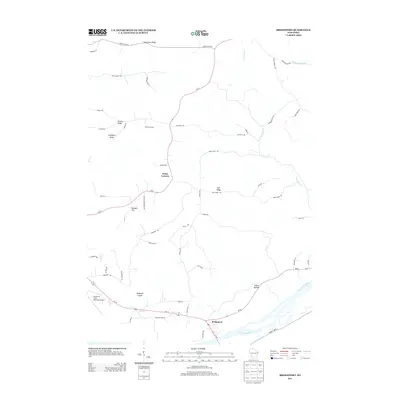
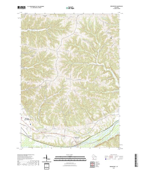 2022 Bridgeport2022 Print · USGSCrawford County's river bluffs and rural ridges are captured here during the early 2020s. Researchers can trace family history through the Bridgeport Cem and Dutch Ridge Cem or locate old homesteads along Famechon Ridge and the Wisconsin River.
 - 2022 Map of Prairie du Chien, 2022 Print
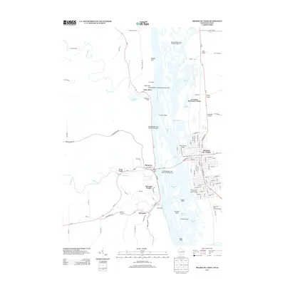
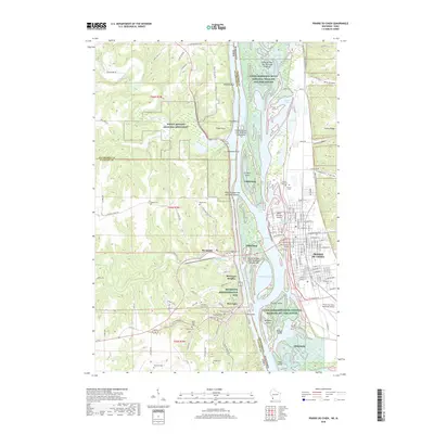
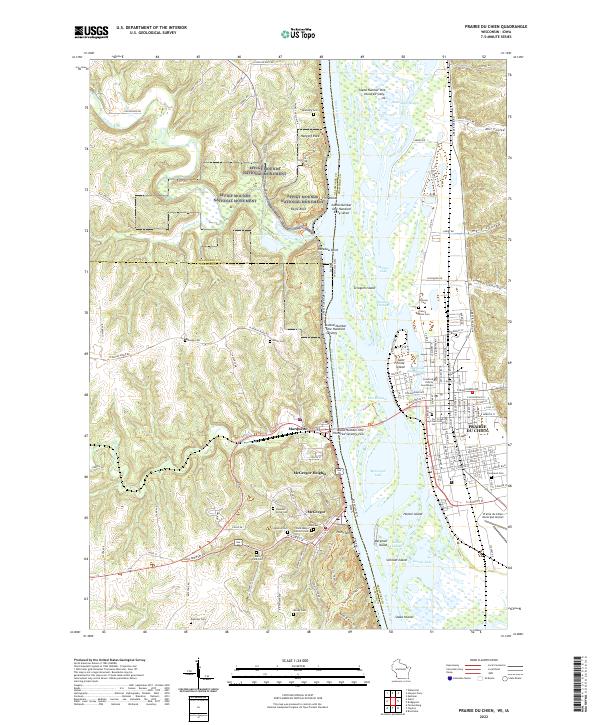 2022 Prairie du Chien2022 Print · USGSThe Upper Mississippi River valley comes alive in this 2022 survey of the historic river crossing between Wisconsin and Iowa. Trace the evolution of early river life through landmarks like Fort Crawford, McGregor, and the ancient Effigy Mounds National Monument.
End of results
Showing maps 1-10 of 10
Top cities near Prairie du Chien
- Prairie du Chien historical maps
- Bridgeport historical maps
- Seneca historical maps
- Wauzeka historical maps
- Garnavillo historical maps
- McGregor historical maps
See more
Top neighborhoods of Prairie du Chien
Frequently asked questions
- What are the different types of historical maps available for Prairie du Chien?
- What is the oldest map of Prairie du Chien?
- Where can I purchase historical maps of Prairie du Chien for my home or office?
- Where can I download high-res historical maps of Prairie du Chien?
- Are there historical topographic maps available for Prairie du Chien?
- Is there historical aerial imagery available for Prairie du Chien?
- Where are historical maps of Prairie du Chien sourced from?