Old Maps of Albion, Wisconsin for Hiking & Exploration
Hike through history with 31 historic maps of Albion. Explore old trails, ghost towns, and forgotten backroads — perfect for outdoor adventurers and local explorers.
- Rediscover forgotten places: Map out old mining camps, roads, and footpaths that no longer exist on modern maps.
- Layer with modern tools: Combine with LiDAR or satellite views to plan hikes through historical terrain.
- Made for exploration: Popular among hikers, overlanders, and local history lovers.
Use these maps to find adventure and explore the hidden past of Albion.
Albion, WI maps
(31)- 1890 Map of Stoughton
 1890 Stoughton1890 Print · USGSSouthern Wisconsin during the 1890s shows a landscape of thriving river towns and expanding rail networks. Researchers can trace early family homesteads near Stebbinsville, Cooksville, and Fulton Center while following the historic route of the Chicago Milwaukee and St Paul Railroad.6 unique versions available
 - 1954 Map of Rockford
 1954 Rockford1954 Print · USGSThe Rock River valley and the Illinois-Wisconsin borderlands are captured here in the mid-1950s during a period of robust industrial and agricultural activity. Genealogists and historians can trace rail-era corridors like the Illinois Central RR and locate landmarks from Big Foot Prairie to Lake Geneva.
 - 1955 Map of Rockford
 1955 Rockford1955 Print · USGSThe Rock River valley and southern Wisconsin dairy country are shown here in the mid-fifties as the region's manufacturing centers grew. Genealogists and historians can trace the paths of the Chicago and North Western RR and Illinois Central RR through hubs like Rockford and Beloit.
 - 1958 Map of Rockford, 1974 Print
 1958 Rockford1974 Print · USGSNorthern Illinois and southern Wisconsin are shown here in the mid-twentieth century as rail-dependent industrial towns began to interface with growing lakefront communities. Genealogists can trace family roots through settlements like Saylesville and Tess Corners or locate historical landmarks like the Rockford Ordnance Depot.4 unique versions available
 - 1961 Map of Stoughton, 1963 Print
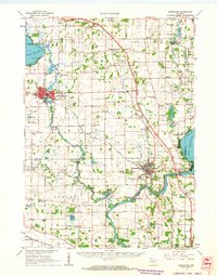 1961 Stoughton1963 Print · USGSDane and Rock Counties during the early sixties center on the tobacco-processing hubs of the Rock River valley. Genealogists and local researchers can trace family lands near Hanerville, identify remote schools like Bass Lake Sch, or locate historic burials at Jensen Cem and South Porter Cem.2 unique versions available
 - 1961 Map of Cooksville, 1964 Print
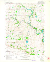 1961 Cooksville1964 Print · USGSSouthern Wisconsin farmland is defined by its winding waterways and historic townships in the early sixties. Genealogists and local historians can trace rural school districts like Yahara Sch or find family plots at Ball Tavern Cem and St Michaels Cem.3 unique versions available
 - 1961 Map of Rockdale, 1964 Print
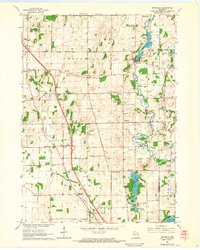 1961 Rockdale1964 Print · USGSThe rural landscape of eastern Dane County is captured here in the early 1960s, showing the agricultural heartland between Cambridge and Albion. Researchers can trace the heritage of local families through landmarks like East Koshkonong Cemetery, Smithback School, and the Hickory Hill Girl Scout Camp.2 unique versions available
 - 1961 Map of Stoughton, 1964 Print
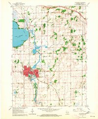 1961 Stoughton1964 Print · USGSStoughton and the southern Dane County countryside appear in the early sixties as a bustling rail-and-river hub. Researchers can locate local landmarks like the Martin Luther Childrens Home, Nelson Airport, and the Skaalen Cem along the Yahara River.3 unique versions available
 - 1961 Map of Edgerton, 1964 Print
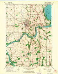 1961 Edgerton1964 Print · USGSThe tobacco-growing country around the Rock River and Edgerton is captured here during the early sixties. Genealogists and local historians can trace rural schoolhouses like Albion Sch, the rail lines of the Milwaukee Road, and landmarks like Joseph College.2 unique versions available
 - 1963 Map of Rockford
 1963 Rockford1963 Print · USGSThe mid-century industrial corridor along the Rock River is shown here during a period of rapid post-war growth. Researchers can trace the extensive rail lines of the Chicago and North Western or locate local landmarks like the Rockford Ordnance Depot and Holy Hill.
 - 1981 Map of Monroe
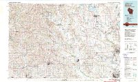 1981 Monroe1981 Print · USGSSouthern Wisconsin and the Illinois borderlands come into focus in the early 1980s, showcasing a landscape defined by dairy farming and river valleys. Genealogists can trace family roots through historic hubs like Monroe, Stoughton, and Brodhead, or locate regional landmarks such as Yellowstone Lake and the Sugar River.
 - 2010 Map of Stoughton, 2010 Print
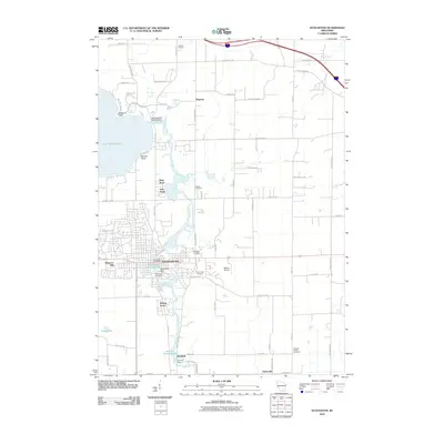 2010 Stoughton2010 Print · USGSThe Yahara River corridor south of Madison comes into focus in this 2010 map, detailing the industrial and residential heart of the Stoughton area. Researchers can trace riverfront waterworks like the Stoughton Dam and local burial sites at Skaalen Cemetery or Saint Anns Cemetery.
 - 2010 Map of Rockdale, 2010 Print
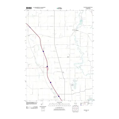 2010 Rockdale2010 Print · USGSJefferson County agricultural life is captured here in the early 2000s, showcasing the rural road network and creek-side settlements. Researchers can locate family heritage sites like Albion Prairie Cemetery and the Rockdale Millpond 134.
 - 2010 Map of Edgerton, 2010 Print
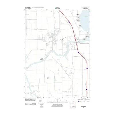 2010 Edgerton2010 Print · USGSThe Rock River corridor and the shores of Lake Koshkonong are captured here during the first decade of the 21st century. Researchers can locate family burial plots at Saint Joseph Cemetery and Jenson Cemetery or trace the river to the Indianford WD-60 Dam.
 - 2010 Map of Cooksville, 2010 Print
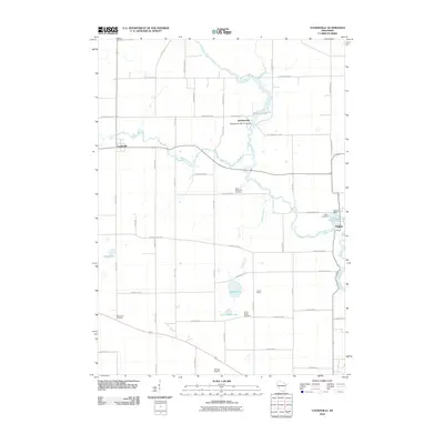 2010 Cooksville2010 Print · USGSRock County at the start of the 2100s reveals a landscape shaped by the Yahara River and its historic mill towns. Genealogists and local historians can trace ancestral sites at Ball Tavern Cemetery or Saint Michaels Cemetery and locate small hubs like Cooksville.
 - 2013 Map of Rockdale, 2013 Print
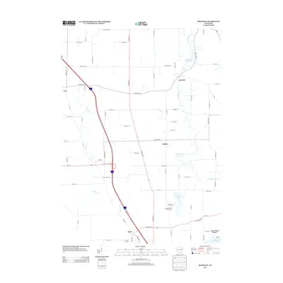 2013 Rockdale2013 Print · USGSSouthern Wisconsin at the start of the 2010s shows a landscape of established rural settlements and winding creek beds. Genealogists and local historians can trace family-named roads near Rockdale and Hillside, or locate the Hickory Hill Girl Scout Camp and Jana Airport.
 - 2013 Map of Cooksville, 2013 Print
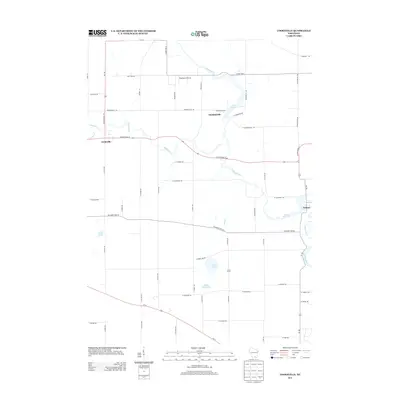 2013 Cooksville2013 Print · USGSWisconsin's rural heartland comes into focus in this recent survey of the Rock County countryside. Genealogists and historians can trace family locations near Cooksville and Stebbinsville, or locate landmarks like Blackburn Airport and Gibbs Lake.
 - 2013 Map of Stoughton, 2013 Print
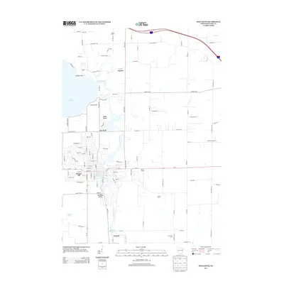 2013 Stoughton2013 Print · USGSSoutheast of Madison during the early 2010s, the Yahara River valley shows a landscape shaped by water and agriculture. Researchers can trace historic water features like the Stoughton Millpond 429 and Dunkirk Millpond 442 alongside local landmarks like Greens Orchard.
 - 2013 Map of Edgerton, 2013 Print
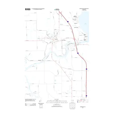 2013 Edgerton2013 Print · USGSThe Rock River valley near Edgerton is documented here during a period of steady lakeside growth. Genealogists and local historians can trace the street layouts of Edgerton and Indianford or locate specific sites like Camp Indian Trails and Jana Airport.
 - 2016 Map of Cooksville, 2016 Print
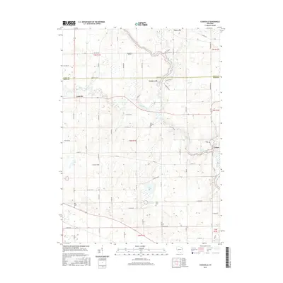 2016 Cooksville2016 Print · USGSSouthern Wisconsin farmland and river valleys are captured here in the mid-2010s at the intersection of Dane and Rock counties. Researchers can trace historic local roots at Saint Michaels Cem, Fulton, and the settlement of Cooksville.
 - 2016 Map of Stoughton, 2016 Print
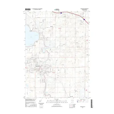 2016 Stoughton2016 Print · USGSThe Yahara River valley south of Madison is shown in detail here during the mid-2010s. Researchers can trace local lineage through numerous sites like Riverside Cem and Saint Anns Cem, or explore the shores of Lake Kegonsa.
 - 2016 Map of Edgerton, 2016 Print
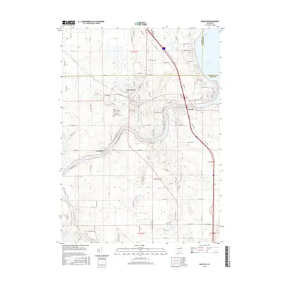 2016 Edgerton2016 Print · USGSEdgerton and the Rock River valley are shown here in the mid-2010s, spanning the borders of Dane, Jefferson, and Rock counties. Researchers can trace local lineage through several burial sites including Fassett Cem and Jenson Cem, or explore the waterfronts of Newville and Lake Koshkonong.
 - 2016 Map of Rockdale, 2016 Print
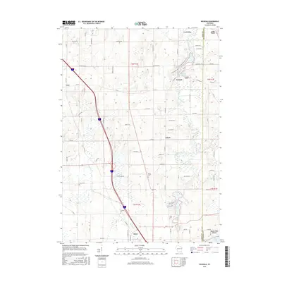 2016 Rockdale2016 Print · USGSSoutheast of Madison in the mid-2010s, this area shows a landscape defined by glacial lakes and the winding Koshkonong Creek. Genealogists and local historians can trace the sites of Evergreen Cemetery and Rockdale Millpond or explore the settlements of Albion and Cambridge.
 - 2018 Map of Edgerton, 2018 Print
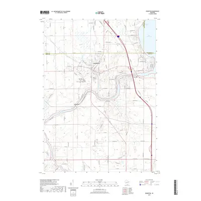 2018 Edgerton2018 Print · USGSThe Rock River valley near the Dane and Rock county lines is captured here in the late 2010s. Genealogists and local historians can trace family locations near Edgerton, Saint Joseph Parish Cem, and the riverfront settlement of Indianford.
 - 2018 Map of Cooksville, 2018 Print
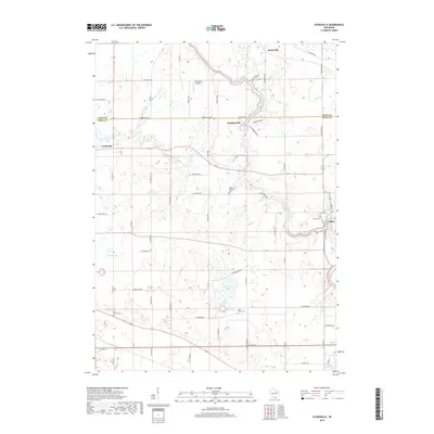 2018 Cooksville2018 Print · USGSSouthern Wisconsin farmland near the Rock and Dane county line is shown here in the late twenty-tens, centered on the Yahara River valley. Genealogists can locate family sites near Saint Michaels Cem, South Porter Cem, or the historic crossroads at Cooksville and Fulton.
Showing maps 1-25 of 31
Top cities near Albion
- Madison historical maps
- Janesville historical maps
- Stoughton historical maps
- Fort Atkinson historical maps
- McFarland historical maps
- Milton historical maps
See more
Top neighborhoods of Albion
- Hillside historical maps
- Highwood historical maps
- Hickory Hills historical maps
- Edgerton Beach Park historical maps
- Indian Heights historical maps
- Hickory Hills historical maps
See more
Frequently asked questions
- What are the different types of historical maps available for Albion?
- What is the oldest map of Albion?
- Where can I purchase historical maps of Albion for my home or office?
- Where can I download high-res historical maps of Albion?
- Are there historical topographic maps available for Albion?
- Is there historical aerial imagery available for Albion?
- Where are historical maps of Albion sourced from?