2000s (21st Century) Maps of Madison, Wisconsin
Explore 45 historic maps of Madison from the 2000s (21st Century). These maps offer a rare glimpse into what life looked like during the 2000s — showing old roads, neighborhoods, homes, and landmarks that have changed or disappeared over time.
Whether you're researching your family's past, planning a metal detecting trip, or studying how Madison's landscape evolved across the 2000s, these high-resolution maps are a powerful tool for exploring the history of this region.
- Focus on a specific era: All maps on this page are from the 2000s, giving you a focused view of this time period.
- See what’s changed: Compare century-old streets, trails, and buildings to today's modern landscape using overlays and satellite layers.
- Research with precision: Use these maps for genealogy, historical research, land use analysis, or educational projects.
- View, download, or print: Maps are fully viewable online in high resolution, and can be downloaded or printed for your own records.
Start exploring Madison's history through authentic maps from the 2000s. This is your window into the past.
Madison, WI maps
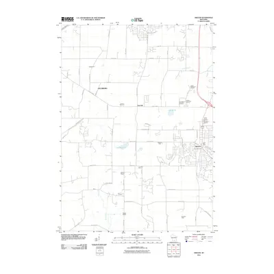
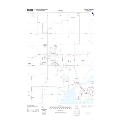
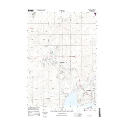
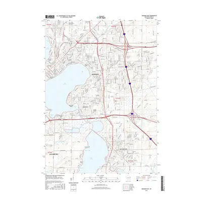
(45)- 2010 Map of Madison East, 2010 Print
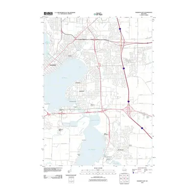 2010 Madison East2010 Print · USGSCovers Madison, including Fitchburg, Monona, and other nearby areas
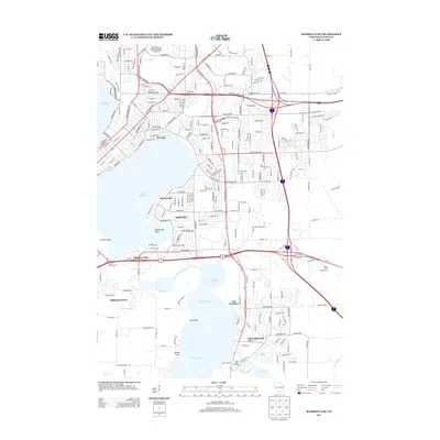
 - 2010 Map of Waunakee, 2010 Print
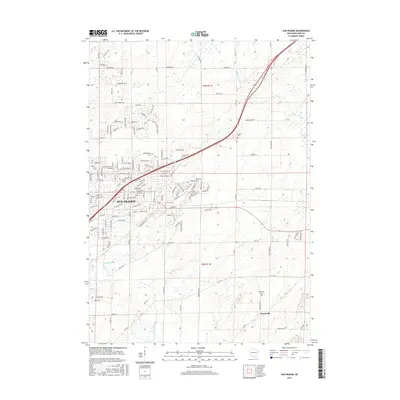
 2010 Waunakee2010 Print · USGSCovers Madison, including Middleton, Waunakee, and other nearby areas
 - 2010 Map of Sun Prairie, 2010 Print
 2010 Sun Prairie2010 Print · USGSCovers Madison, including Sun Prairie, Windsor, and other nearby areas
 - 2010 Map of De Forest, 2010 Print
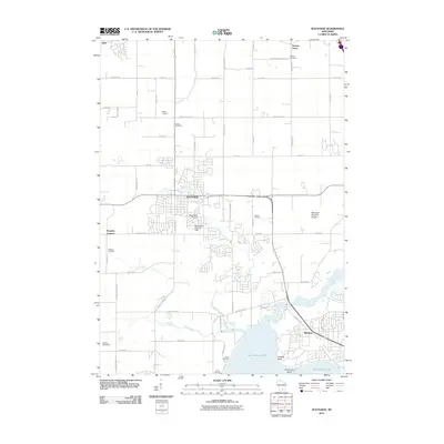
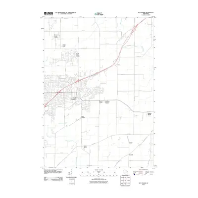
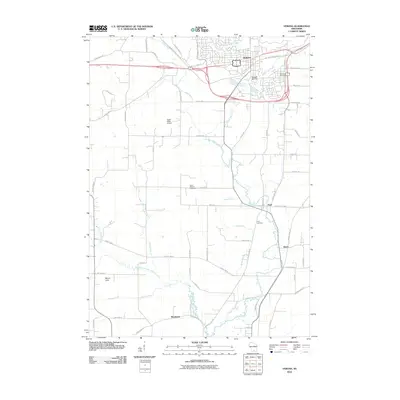
 2010 De Forest2010 Print · USGSCovers Madison, including Sun Prairie, DeForest, and other nearby areas
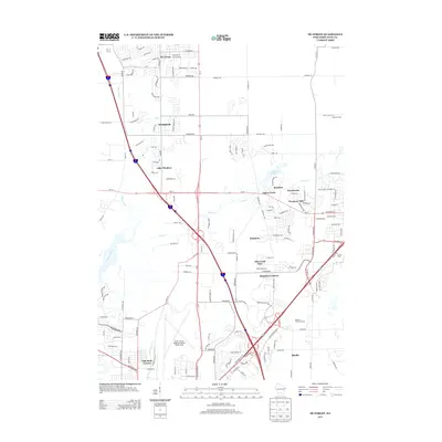
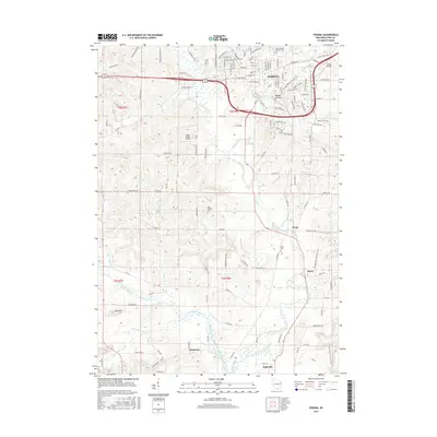
 - 2010 Map of Oregon, 2010 Print
 2010 Oregon2010 Print · USGSCovers Madison, including Fitchburg, Verona, and other nearby areas
 - 2010 Map of Verona, 2010 Print
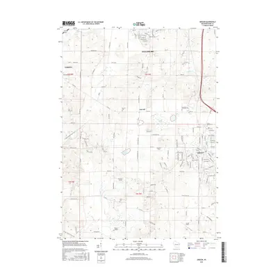
 2010 Verona2010 Print · USGSCovers Madison, including Verona, Belleville, and other nearby areas
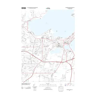
 - 2010 Map of Middleton, 2010 Print
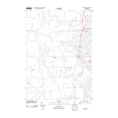 2010 Middleton2010 Print · USGSCovers Madison, including Middleton, Verona, and other nearby areas
 - 2010 Map of Madison West, 2010 Print
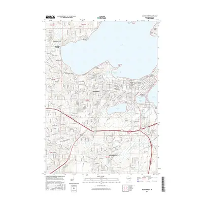
 2010 Madison West2010 Print · USGSCovers Madison, including Fitchburg, Middleton, and other nearby areas
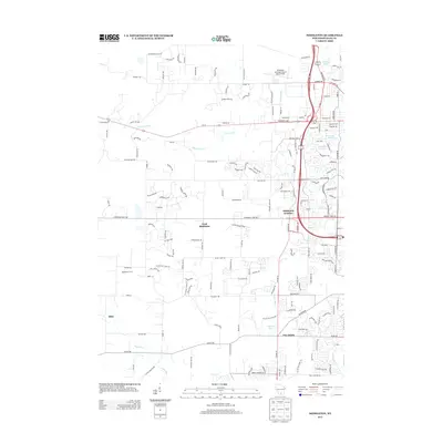
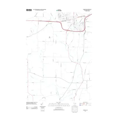
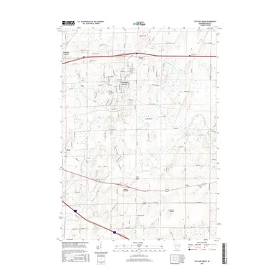
 - 2011 Map of Cottage Grove, 2011 Print
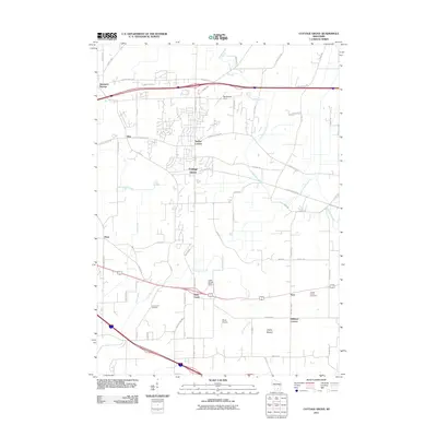 2011 Cottage Grove2011 Print · USGSCovers Madison, including McFarland, Cottage Grove, and other nearby areas
 - 2013 Map of Oregon, 2013 Print
 2013 Oregon2013 Print · USGSCovers Madison, including Fitchburg, Verona, and other nearby areas
 - 2013 Map of Cottage Grove, 2013 Print
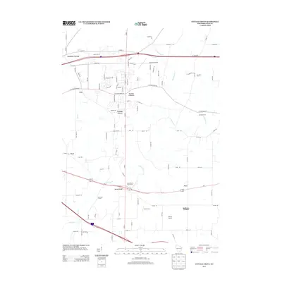 2013 Cottage Grove2013 Print · USGSCovers Madison, including McFarland, Cottage Grove, and other nearby areas
 - 2013 Map of Sun Prairie, 2013 Print
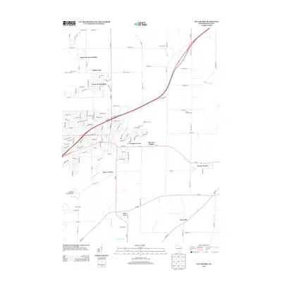 2013 Sun Prairie2013 Print · USGSCovers Madison, including Sun Prairie, Windsor, and other nearby areas
 - 2013 Map of Waunakee, 2013 Print
 2013 Waunakee2013 Print · USGSCovers Madison, including Middleton, Waunakee, and other nearby areas
 - 2013 Map of Madison East, 2013 Print
 2013 Madison East2013 Print · USGSCovers Madison, including Fitchburg, Monona, and other nearby areas
 - 2013 Map of Madison West, 2013 Print
 2013 Madison West2013 Print · USGSCovers Madison, including Fitchburg, Middleton, and other nearby areas
 - 2013 Map of Middleton, 2013 Print
 2013 Middleton2013 Print · USGSCovers Madison, including Middleton, Verona, and other nearby areas
 - 2013 Map of De Forest, 2013 Print
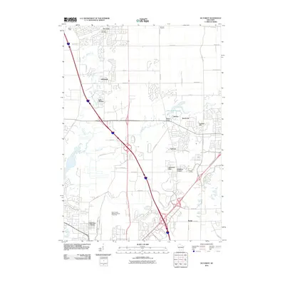
 2013 De Forest2013 Print · USGSCovers Madison, including Sun Prairie, DeForest, and other nearby areas
 - 2013 Map of Verona, 2013 Print
 2013 Verona2013 Print · USGSCovers Madison, including Verona, Belleville, and other nearby areas
 - 2016 Map of Verona, 2016 Print
 2016 Verona2016 Print · USGSCovers Madison, including Verona, Belleville, and other nearby areas
 - 2016 Map of Oregon, 2016 Print
 2016 Oregon2016 Print · USGSCovers Madison, including Fitchburg, Verona, and other nearby areas
 - 2016 Map of Waunakee, 2016 Print
 2016 Waunakee2016 Print · USGSCovers Madison, including Middleton, Waunakee, and other nearby areas
 - 2016 Map of Sun Prairie, 2016 Print
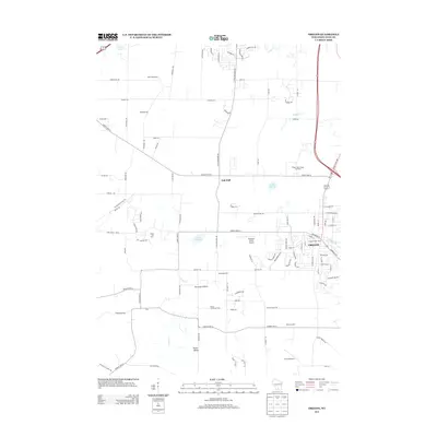
 2016 Sun Prairie2016 Print · USGSCovers Madison, including Sun Prairie, Windsor, and other nearby areas
 - 2016 Map of Cottage Grove, 2016 Print
 2016 Cottage Grove2016 Print · USGSCovers Madison, including McFarland, Cottage Grove, and other nearby areas
 - 2016 Map of Madison West, 2016 Print
 2016 Madison West2016 Print · USGSCovers Madison, including Fitchburg, Middleton, and other nearby areas
 - 2016 Map of Madison East, 2016 Print
 2016 Madison East2016 Print · USGSCovers Madison, including Fitchburg, Monona, and other nearby areas
Showing maps 1-25 of 45
Top cities near Madison
- Sun Prairie historical maps
- Fitchburg historical maps
- Middleton historical maps
- Waunakee historical maps
- Stoughton historical maps
- DeForest historical maps
See more
Top neighborhoods of Madison
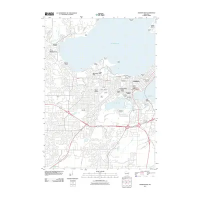
- Mendota Beach historical maps
- Hoepkers Corners historical maps
- Bowens Addition historical maps
- Mendota historical maps
- Middleton Junction historical maps
- Burke historical maps
See more
Frequently asked questions
- What are the different types of historical maps available for Madison?
- What is the oldest map of Madison?
- Where can I purchase historical maps of Madison for my home or office?
- Where can I download high-res historical maps of Madison?
- Are there historical topographic maps available for Madison?
- Is there historical aerial imagery available for Madison?
- Where are historical maps of Madison sourced from?