2000s (21st Century) Maps of Oregon, Wisconsin
Explore 10 historic maps of Oregon from the 2000s (21st Century). These maps offer a rare glimpse into what life looked like during the 2000s — showing old roads, neighborhoods, homes, and landmarks that have changed or disappeared over time.
Whether you're researching your family's past, planning a metal detecting trip, or studying how Oregon's landscape evolved across the 2000s, these high-resolution maps are a powerful tool for exploring the history of this region.
- Focus on a specific era: All maps on this page are from the 2000s, giving you a focused view of this time period.
- See what’s changed: Compare century-old streets, trails, and buildings to today's modern landscape using overlays and satellite layers.
- Research with precision: Use these maps for genealogy, historical research, land use analysis, or educational projects.
- View, download, or print: Maps are fully viewable online in high resolution, and can be downloaded or printed for your own records.
Start exploring Oregon's history through authentic maps from the 2000s. This is your window into the past.
Oregon, WI maps
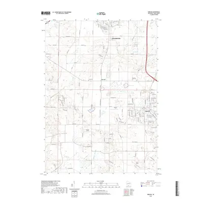
(10)- 2010 Map of Oregon, 2010 Print
 2010 Oregon2010 Print · USGSCovers Oregon, including Madison, Fitchburg, and other nearby areas
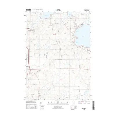
 - 2010 Map of Rutland, 2010 Print
 2010 Rutland2010 Print · USGSCovers Oregon, including Fitchburg, Stoughton, and other nearby areas
 - 2013 Map of Oregon, 2013 Print
 2013 Oregon2013 Print · USGSCovers Oregon, including Madison, Fitchburg, and other nearby areas
 - 2013 Map of Rutland, 2013 Print
 2013 Rutland2013 Print · USGSCovers Oregon, including Fitchburg, Stoughton, and other nearby areas
 - 2016 Map of Oregon, 2016 Print
 2016 Oregon2016 Print · USGSCovers Oregon, including Madison, Fitchburg, and other nearby areas
 - 2016 Map of Rutland, 2016 Print
 2016 Rutland2016 Print · USGSCovers Oregon, including Fitchburg, Stoughton, and other nearby areas
 - 2018 Map of Rutland, 2018 Print
 2018 Rutland2018 Print · USGSCovers Oregon, including Fitchburg, Stoughton, and other nearby areas
 - 2018 Map of Oregon, 2018 Print
 2018 Oregon2018 Print · USGSCovers Oregon, including Madison, Fitchburg, and other nearby areas
 - 2022 Map of Oregon, 2022 Print
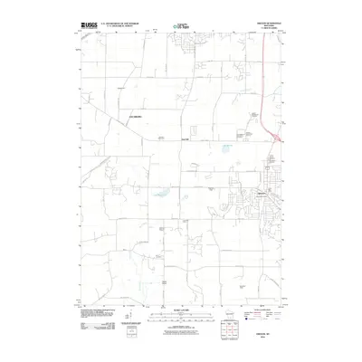
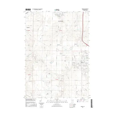
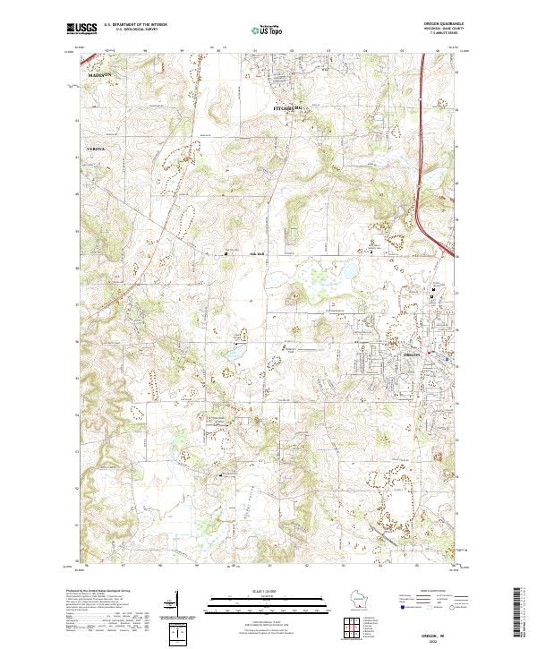 2022 Oregon2022 Print · USGSThe village of Oregon and its surrounding dairy country are captured here in the early twenty-first century as suburban growth extends from nearby Madison. Researchers can locate several historic burial sites like Storytown Cem or trace the path of the Ice Age National Scenic Trl.
 - 2022 Map of Rutland, 2022 Print
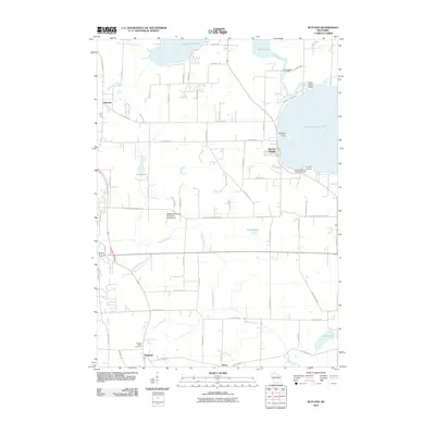
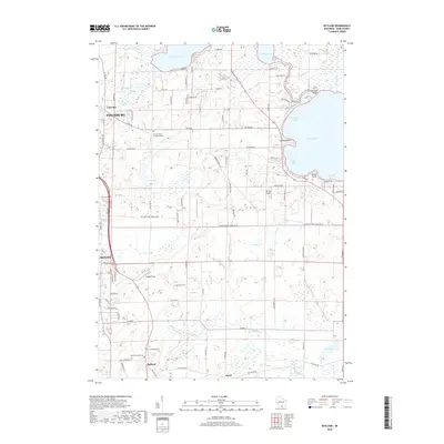
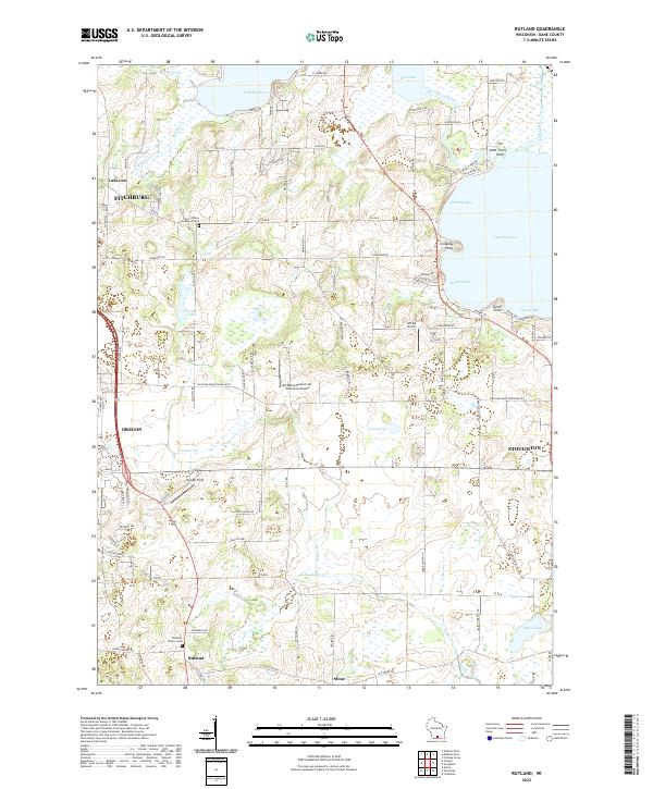 2022 Rutland2022 Print · USGSDane County's glacial landscape is captured here in the early twenty-first century, showing the rural spaces between expanding southern Wisconsin towns. Genealogists can locate family sites like Rutland Center Cem or trace the drainage of Badfish Creek and Oregon Br.
End of results
Showing maps 1-10 of 10
Top cities near Oregon
- Madison historical maps
- Fitchburg historical maps
- Middleton historical maps
- Stoughton historical maps
- Verona historical maps
- Monona historical maps
See more
Top neighborhoods of Oregon
Frequently asked questions
- What are the different types of historical maps available for Oregon?
- What is the oldest map of Oregon?
- Where can I purchase historical maps of Oregon for my home or office?
- Where can I download high-res historical maps of Oregon?
- Are there historical topographic maps available for Oregon?
- Is there historical aerial imagery available for Oregon?
- Where are historical maps of Oregon sourced from?