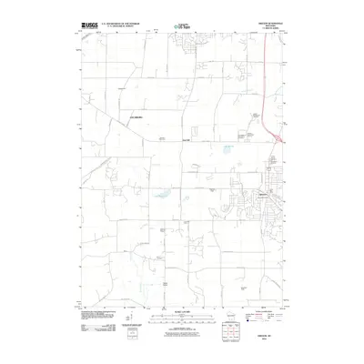
2010 Map of Oregon
USGS Topo · Published 2010About this map
Oregon and Fitchburg anchor this southern Wisconsin landscape as it appeared in the early 21st century, revealing a mix of rural heritage and modern institutional footprints. The map details several significant burial grounds, including Prairie Mound Cemetery and Saint Marys Cemetery near the heart of Oregon, as well as the Holy Mother of Consolation Cemetery and Oak Hall Cemetery further west. These sites, along with smaller family-named landmarks like Story Cemetery, provide essential spatial data for genealogists tracing Dane County roots.
Find a feature on this map
62 named features on this map. Tap any name to fly to it.
Don’t see what you’re looking for? This feature index may not catch every label — zoom into the map to look around manually.
Map Details
Editions of this 2010 Oregon Map
This is the sole edition of this map. No revisions or reprints were ever made.
Other maps of this area

1889 · Evansville
USGS Topo · 1:62,500

1890 · Madison
USGS Topo · 1:62,500

1892 · Madison
USGS Topo · 1:62,500

1894 · Evansville
USGS Topo · 1:62,500

1904 · Madison
USGS Topo · 1:62,500

1906 · Evansville
USGS Topo · 1:62,500

1906 · Madison
USGS Topo · 1:62,500

1907 · Cross Plains
USGS Topo · 1:62,500

1909 · Cross Plains
USGS Topo · 1:62,500

1923 · New Glarus
USGS Topo · 1:62,500