
1909 Map of Cross Plains
USGS Topo · Published 1909About this map
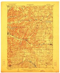
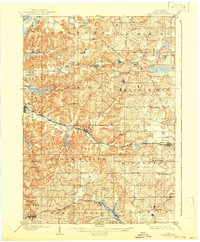
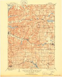
Cross Plains and its surrounding townships in Dane County show a landscape defined by the drainage of Black Earth Creek and the Sugar River during the early twentieth century. This era finds the region deeply connected to the rail network, with the Chicago Milwaukee and St Paul RR and the Chicago and Northwestern RR providing vital links for communities like Mt Horeb, Middleton, and Black Earth. High points such as Table Bluff and Lutheran Hill stand out amongst the complex topography, while smaller settlements like Marxville, Martinsville, and Pine Bluff serve as local hubs. Genealogists and local historians can locate specific landmarks including Ashton Church and the Lutheran Church in Middleton, alongside natural features like Richardson Cave and Indian Lake. The map details a period when these agricultural and transit corridors were firmly established before modern highway expansion altered the rural character.
Find a feature on this map
43 named features on this map. Tap any name to fly to it.
Don’t see what you’re looking for? This feature index may not catch every label — zoom into the map to look around manually.
Map Details
Editions of this 1909 Cross Plains Map
4 editions found
Other maps of this area

1889 · Evansville
USGS Topo · 1:62,500

1890 · Madison
USGS Topo · 1:62,500

1892 · Madison
USGS Topo · 1:62,500

1894 · Evansville
USGS Topo · 1:62,500

1895 · Baraboo
USGS Topo · 1:62,500

1901 · Denzer
USGS Topo · 1:62,500

1901 · Poynette
USGS Topo · 1:62,500

1904 · Madison
USGS Topo · 1:62,500

1906 · Evansville
USGS Topo · 1:62,500

1906 · Madison
USGS Topo · 1:62,500