Old Maps of Westport, Wisconsin for Hiking & Exploration
Hike through history with 29 historic maps of Westport. Explore old trails, ghost towns, and forgotten backroads — perfect for outdoor adventurers and local explorers.
- Rediscover forgotten places: Map out old mining camps, roads, and footpaths that no longer exist on modern maps.
- Layer with modern tools: Combine with LiDAR or satellite views to plan hikes through historical terrain.
- Made for exploration: Popular among hikers, overlanders, and local history lovers.
Use these maps to find adventure and explore the hidden past of Westport.
Westport, WI maps
(29)- 1890 Map of Madison
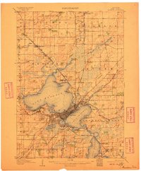
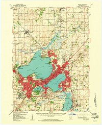
 1890 Madison1890 Print · USGSMadison and its surrounding lake country are captured in the late 1880s as the capital city began to dominate the central isthmus. Researchers can trace early rail corridors like the Madison and Northern Railroad and locate settlements such as Mendota and Token Creek.
 - 1892 Map of Madison
 1892 Madison1892 Print · USGSDane County in the late nineteenth century centers on the emerging isthmus city of Madison and its surrounding glacial lakes. Genealogists and historians can trace rail-aligned settlements like Waunakee, De Forest, and Mac Farland alongside the banks of Lake Mendota.3 unique versions available
 - 1904 Map of Madison, 1954 Print
 1904 Madison1954 Print · USGSDane County's capital and its surrounding chain of lakes are shown here at the turn of the century. Genealogists and local historians can trace the early footprints of the University of Wisconsin, the Fair Grounds, and settlements like Token and Norway Grove.
 - 1906 Map of Madison
 1906 Madison1906 Print · USGSThe state capital and its Four Lakes are captured here in the early twentieth century. Genealogists and historians can trace the early development of Madison and the University of Wisconsin, along with rural hubs like Waunakee and Mc Farland.6 unique versions available
 - 1957 Map of Madison, 1967 Print
 1957 Madison1967 Print · USGSSouth-central Wisconsin in the mid-fifties reveals a landscape of industrial hubs and glacial lakes linked by a dense rail and highway network. Genealogists and historians can trace the development of lakeside communities and find notable sites like Badger Ordnance Works and the Horicon National Wildlife Refuge.3 unique versions available
 - 1959 Map of Waunakee, 1960 Print
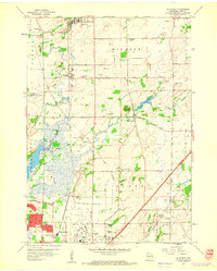
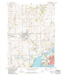
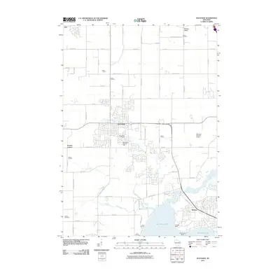
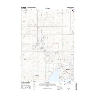
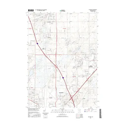
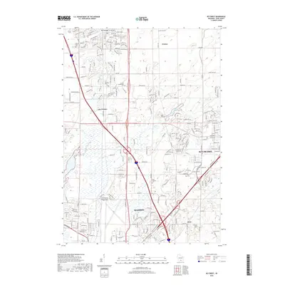
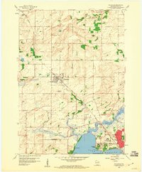 1959 Waunakee1960 Print · USGSDane County's agricultural heart and northern lakefront are captured here in the late fifties as the Madison suburbs began to expand. Genealogists can trace family names at Vienna Cem or locate former rural centers like Norway Grove and Catfish Sch.3 unique versions available
 - 1959 Map of Madison West, 1960 Print
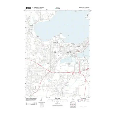
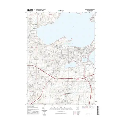
 1959 Madison West1960 Print · USGSMadison in the late fifties shows a city shaped by its lakes and university growth. Trace the evolution of neighborhoods and campus landmarks from Picnic Point to the Forest Hill Cemetery, including local schools like Nakoma Sch.4 unique versions available
 - 1959 Map of De Forest, 1960 Print
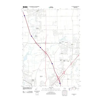
 1959 De Forest1960 Print · USGSUpper Dane County shows its transition from a farming heartland to a suburban corridor in the late fifties. Genealogists and historians can trace numerous rural schoolhouses and family cemeteries including Pumpkin Hollow Sch and Hoepker Cem.3 unique versions available
 - 1959 Map of Madison, 1961 Print
 1959 Madison1961 Print · USGSMadison and the surrounding Dane County countryside appear here in the late fifties, showing the city's growth between its iconic lakes. Genealogists and local historians can trace family roots through numerous country schools like Wangness Sch and historic cemeteries such as Norway Grove Cem.3 unique versions available
 - 1960 Map of Madison
 1960 Madison1960 Print · USGSCentral and Southern Wisconsin are captured in the late fifties, showing the region as its rail-and-river network matured. Trace the paths of the Soo Line RR or locate family roots near Lake Mendota and Horicon National Wildlife Refuge.2 unique versions available
 - 1983 Map of Waunakee, 1984 Print
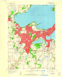
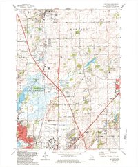
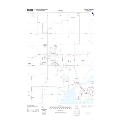
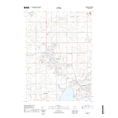
 1983 Waunakee1984 Print · USGSThe north shore of Lake Mendota and the expanding village of Waunakee are captured here in the early eighties. Researchers can trace local lineage through the Vienna Cem and Kingsley Cem, or locate landmarks like the Mendota State Hospital and St. Mary of the Lake Sch.
 - 1983 Map of De Forest, 1984 Print
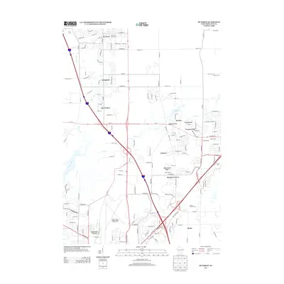
 1983 De Forest1984 Print · USGSThe northern suburbs of Madison are captured here in the early eighties as they expanded toward Windsor and De Forest. Genealogists and local historians can trace family locations near the Hoepker Cem, Norway Grove Ch, and the Pumpkin Hollow Sch.
 - 1983 Map of Madison West, 1984 Print
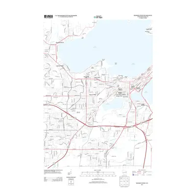
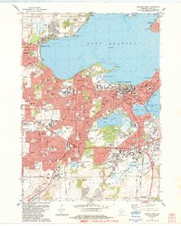 1983 Madison West1984 Print · USGSThe Madison isthmus and its surrounding lakefronts are shown in detail during the early eighties, from the State Capitol to the growing suburbs of Middleton. Researchers can trace the mid-century city layout, including the University of Wisconsin, Forest Hill Cemetery, and the Arboretum.
 - 1991 Map of Madison
 1991 Madison1991 Print · USGSMadison and its iconic glacial lakes are captured here during a time of steady urban expansion and regional growth. Researchers can trace the mid-century development of the University of Wisconsin, locate family sites near Forest Hill Cem, or explore the footprint of the Badger Army Ammunition Plant.
 - 2010 Map of Waunakee, 2010 Print
 2010 Waunakee2010 Print · USGSCovers Westport, including Madison, Middleton, and other nearby areas
 - 2010 Map of De Forest, 2010 Print
 2010 De Forest2010 Print · USGSCovers Westport, including Madison, Sun Prairie, and other nearby areas
 - 2010 Map of Madison West, 2010 Print
 2010 Madison West2010 Print · USGSCovers Westport, including Madison, Fitchburg, and other nearby areas
 - 2013 Map of Waunakee, 2013 Print
 2013 Waunakee2013 Print · USGSCovers Westport, including Madison, Middleton, and other nearby areas
 - 2013 Map of Madison West, 2013 Print
 2013 Madison West2013 Print · USGSCovers Westport, including Madison, Fitchburg, and other nearby areas
 - 2013 Map of De Forest, 2013 Print
 2013 De Forest2013 Print · USGSCovers Westport, including Madison, Sun Prairie, and other nearby areas
 - 2016 Map of Waunakee, 2016 Print
 2016 Waunakee2016 Print · USGSCovers Westport, including Madison, Middleton, and other nearby areas
 - 2016 Map of Madison West, 2016 Print
 2016 Madison West2016 Print · USGSCovers Westport, including Madison, Fitchburg, and other nearby areas
 - 2016 Map of De Forest, 2016 Print
 2016 De Forest2016 Print · USGSCovers Westport, including Madison, Sun Prairie, and other nearby areas
 - 2018 Map of Waunakee, 2018 Print
 2018 Waunakee2018 Print · USGSCovers Westport, including Madison, Middleton, and other nearby areas
 - 2018 Map of De Forest, 2018 Print
 2018 De Forest2018 Print · USGSCovers Westport, including Madison, Sun Prairie, and other nearby areas
Showing maps 1-25 of 29
Top cities near Westport
- Madison historical maps
- Sun Prairie historical maps
- Fitchburg historical maps
- Middleton historical maps
- Waunakee historical maps
- Stoughton historical maps
See more
Top neighborhoods of Westport
- Town of Westport historical maps
- Blue Bill Park historical maps
- Carriage Ridge historical maps
- Tuscany Ridge historical maps
- Fox Bluff historical maps
- Fox Bluff historical maps
See more
Frequently asked questions
- What are the different types of historical maps available for Westport?
- What is the oldest map of Westport?
- Where can I purchase historical maps of Westport for my home or office?
- Where can I download high-res historical maps of Westport?
- Are there historical topographic maps available for Westport?
- Is there historical aerial imagery available for Westport?
- Where are historical maps of Westport sourced from?