Old Maps of Ellison Bay, Liberty Grove for Hiking & Exploration
Hike through history with 11 historic maps of Ellison Bay. Explore old trails, ghost towns, and forgotten backroads — perfect for outdoor adventurers and local explorers.
- Rediscover forgotten places: Map out old mining camps, roads, and footpaths that no longer exist on modern maps.
- Layer with modern tools: Combine with LiDAR or satellite views to plan hikes through historical terrain.
- Made for exploration: Popular among hikers, overlanders, and local history lovers.
Use these maps to find adventure and explore the hidden past of Ellison Bay.
Ellison Bay, Liberty Grove maps
(11)- 1954 Map of Escanaba, 1967 Print
 1954 Escanaba1967 Print · USGSThe Upper Peninsula and Door County shorelines meet here in the mid-fifties, showing the vital maritime and timber networks of the Great Lakes. Researchers can trace historic rail lines, old fire lookouts like the Stonington Fire Tower, and island settlements such as Washington Island.2 unique versions available
 - 1957 Map of Escanaba
 1957 Escanaba1957 Print · USGSThe Upper Peninsula and Door County shorelines meet in the mid-fifties, capturing a landscape of timber, iron, and maritime trade. Genealogists and local historians can trace the Chicago & North Western RR through settlements like Hermansville or locate St Vitals Church and the Potawatome Indian Reservation.
 - 1958 Map of Escanaba
 1958 Escanaba1958 Print · USGSNorthern Lake Michigan maritime commerce and timberlands are captured here in the mid-fifties. Genealogists and historians can trace rail networks like the Escanaba and Lake Superior or locate island settlements such as Detroit Harbor and Fish Creek.
 - 1960 Map of Ellison Bay, 1962 Print
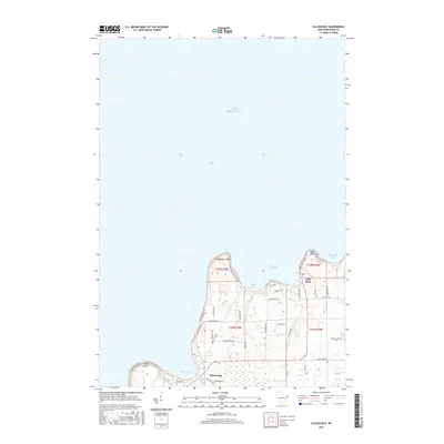
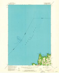 1960 Ellison Bay1962 Print · USGSThe tip of the Door Peninsula in the early sixties reveals a landscape of maritime transit and quiet coastal villages. Genealogists and historians can trace the foundations of Gills Rock, find the Bethel Ch, or locate the Ferry landing near Hedgehog Harbor.2 unique versions available
 - 1981 Map of Marinette, 1982 Print
 1981 Marinette1982 Print · USGSThe Menominee River valley and Door County peninsula are captured here in the early 1980s, showcasing the region's timber and maritime foundations. Researchers can trace historic shorelines from Fish Creek to Deathdoor Bluff or locate inland landmarks like Lake Noquebay and Kangaroo Lake.
 - 1982 Map of Ellison Bay, 1983 Print
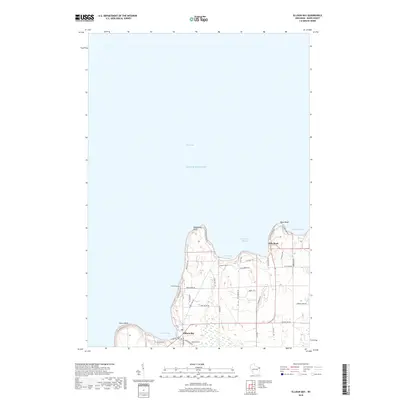
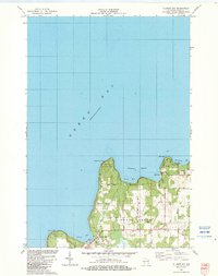 1982 Ellison Bay1983 Print · USGSDoor County's northern tip is captured in the early eighties, documenting the maritime communities and limestone bluffs of the peninsula. Researchers can trace the layout of Gills Rock and Ellison Bay or locate landmarks like Bethel Ch and the Ferry landing.
 - 2010 Map of Ellison Bay, 2010 Print
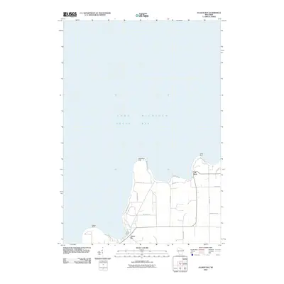 2010 Ellison Bay2010 Print · USGSCovers Ellison Bay, including Gills Rock, Liberty Grove, and other nearby areas
 - 2013 Map of Ellison Bay, 2013 Print
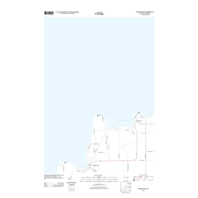 2013 Ellison Bay2013 Print · USGSCovers Ellison Bay, including Gills Rock, Liberty Grove, and other nearby areas
 - 2016 Map of Ellison Bay, 2016 Print
 2016 Ellison Bay2016 Print · USGSCovers Ellison Bay, including Gills Rock, Liberty Grove, and other nearby areas
 - 2018 Map of Ellison Bay, 2018 Print
 2018 Ellison Bay2018 Print · USGSCovers Ellison Bay, including Gills Rock, Liberty Grove, and other nearby areas
 - 2022 Map of Ellison Bay, 2022 Print
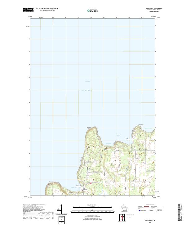 2022 Ellison Bay2022 Print · USGSNorthern Door County is documented here in the early twenty-first century, showing the established waterfront communities and peninsular terrain. Genealogists and local historians can locate Trinity Lutheran Cem and trace the roads around Ellison Bay and Gills Rock.
End of results
Showing maps 1-11 of 11
Top cities near Ellison Bay
- Baileys Harbor historical maps
- Sister Bay historical maps
- Washington historical maps
- Ephraim historical maps
- Egg Harbor historical maps
Frequently asked questions
- What are the different types of historical maps available for Ellison Bay?
- What is the oldest map of Ellison Bay?
- Where can I purchase historical maps of Ellison Bay for my home or office?
- Where can I download high-res historical maps of Ellison Bay?
- Are there historical topographic maps available for Ellison Bay?
- Is there historical aerial imagery available for Ellison Bay?
- Where are historical maps of Ellison Bay sourced from?