Old Maps of Sister Bay, Wisconsin for Academic Research
Study the evolution of Sister Bay with 17 high-resolution historic maps. Whether you're teaching, researching, or modeling changes in land use, these maps provide essential visual documentation of urban, environmental, and geographic change.
- Analyze long-term change: Track patterns in development, transportation, and natural features.
- Ideal for environmental or urban studies: Support academic projects with primary historical map data.
- Use in the classroom or lab: Educators and researchers rely on these maps to bring historical context to life.
These maps are a powerful tool for teaching, research, and visualizing how Sister Bay has changed over the decades.
Sister Bay, WI maps
(17)- 1954 Map of Escanaba, 1967 Print
 1954 Escanaba1967 Print · USGSThe Upper Peninsula and Door County shorelines meet here in the mid-fifties, showing the vital maritime and timber networks of the Great Lakes. Researchers can trace historic rail lines, old fire lookouts like the Stonington Fire Tower, and island settlements such as Washington Island.2 unique versions available
 - 1957 Map of Escanaba
 1957 Escanaba1957 Print · USGSThe Upper Peninsula and Door County shorelines meet in the mid-fifties, capturing a landscape of timber, iron, and maritime trade. Genealogists and local historians can trace the Chicago & North Western RR through settlements like Hermansville or locate St Vitals Church and the Potawatome Indian Reservation.
 - 1958 Map of Escanaba
 1958 Escanaba1958 Print · USGSNorthern Lake Michigan maritime commerce and timberlands are captured here in the mid-fifties. Genealogists and historians can trace rail networks like the Escanaba and Lake Superior or locate island settlements such as Detroit Harbor and Fish Creek.
 - 1960 Map of Sister Bay, 1962 Print
 1960 Sister Bay1962 Print · USGSThe Door Peninsula's mid-century landscape is defined here by its coastal villages and timbered interiors during the 1960s. Researchers can locate local landmarks like the Settlement School, Boynton Chapel, and the historic Cana Island light.2 unique versions available
 - 1981 Map of Marinette, 1982 Print
 1981 Marinette1982 Print · USGSThe Menominee River valley and Door County peninsula are captured here in the early 1980s, showcasing the region's timber and maritime foundations. Researchers can trace historic shorelines from Fish Creek to Deathdoor Bluff or locate inland landmarks like Lake Noquebay and Kangaroo Lake.
 - 1982 Map of Sister Bay, 1983 Print
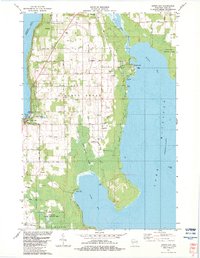 1982 Sister Bay1983 Print · USGSThe northern Door Peninsula comes into focus in the early eighties as a hub of conservation and coastal life. Researchers can trace local heritage at Ellison Bay Cem or explore the wild margins of the Mink River and Newport State Park.
 - 1982 Map of Ephraim, 1983 Print
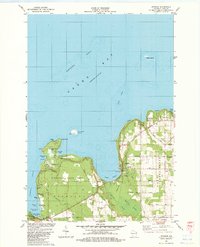 1982 Ephraim1983 Print · USGSDoor County's shoreline thrives in the early eighties as a mix of maritime heritage and vacation life. Researchers can locate historic sites like Blossomburg Cem, the Pioneer Sch, and the Light on Horseshoe Island.
 - 2010 Map of Ephraim, 2010 Print
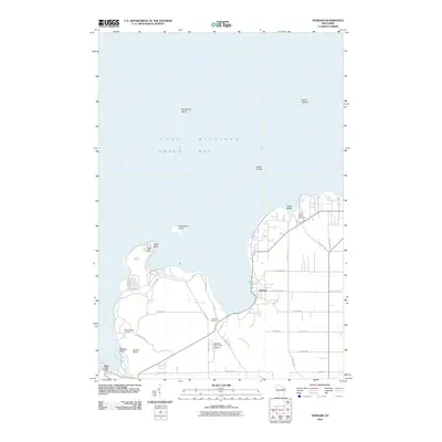 2010 Ephraim2010 Print · USGSDoor County's western shoreline near the turn of the millennium features the established harbor towns and maritime landmarks of the peninsula. Researchers can trace local lineage at Little Sister Cemetery or locate the historic Eagle Bluff Light and Ephraim-Fish Creek Airport.
 - 2010 Map of Sister Bay, 2010 Print
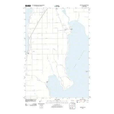 2010 Sister Bay2010 Print · USGSDoor County's peninsula at the turn of the decade showcases the quiet coastal character of its bays and inlets. Genealogists and local historians can trace the roads connecting Sister Bay and North Bay, or locate burial grounds like the Rowleys Bay Cemetery.
 - 2013 Map of Sister Bay, 2013 Print
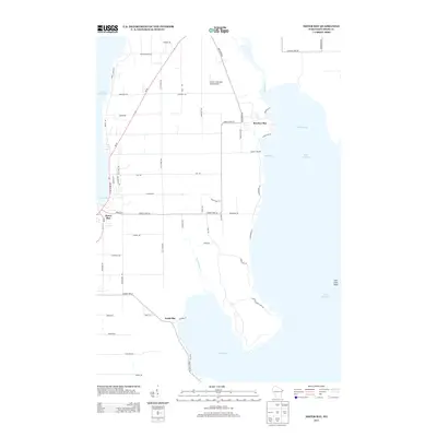 2013 Sister Bay2013 Print · USGSThe Door County peninsula shoreline comes into focus in the early 2010s, showcasing the maritime interface of the Wisconsin coast. Genealogists and local historians can trace family-named routes like Old Stage Rd and locate landmarks from Mave's Lakeview Road Airport to the Mink River.
 - 2013 Map of Ephraim, 2013 Print
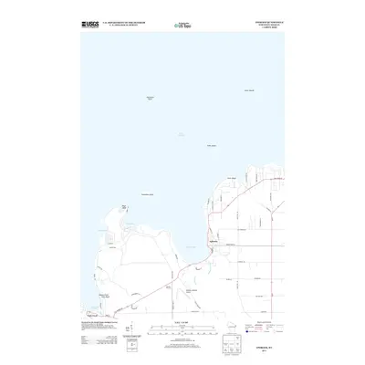 2013 Ephraim2013 Print · USGSDoor County's rocky coastline and the village of Ephraim are shown here as they appeared in the early twenty-first century. Researchers can trace the layout of waterfront roads and local landmarks like the Skyway Drive-In, Ephraim-Gibraltar Airport, and Eagle Bluff.
 - 2016 Map of Ephraim, 2016 Print
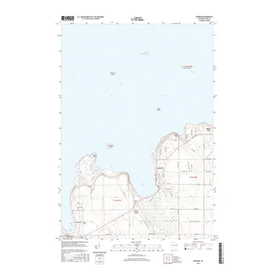 2016 Ephraim2016 Print · USGSDoor County's waterfront communities and rugged shoreline come into focus in this mid-2010s survey of the northern peninsula. Genealogists and local historians can locate several burial grounds like Little Sister Cem and trace the roads around Ephraim and Sister Bay.
 - 2016 Map of Sister Bay, 2016 Print
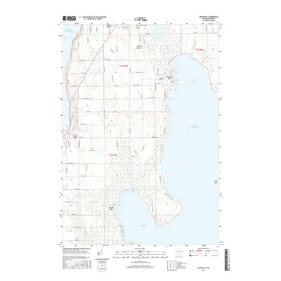 2016 Sister Bay2016 Print · USGSThe tip of the Door County peninsula is captured here in the mid-2010s, showing a landscape defined by the Mink River and maritime culture. Researchers can locate family heritage sites like Liberty Grove Cem or trace the development of coastal harbors at Sister Bay and Ellison Bay.
 - 2018 Map of Sister Bay, 2018 Print
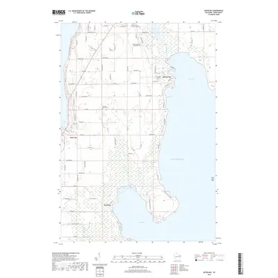 2018 Sister Bay2018 Print · USGSDoor County's rugged shoreline is documented here as it appeared in the late twenty-teens, from the heights of the peninsula down to the wetlands of the Mink River. Family historians can locate several resting places including Sister Bay Moravian Cem and Liberty Grove Cem alongside family-named roads and landmarks.
 - 2018 Map of Ephraim, 2018 Print
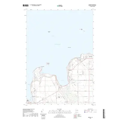 2018 Ephraim2018 Print · USGSDoor County's northern peninsula is shown here in the late 2010s, centered on the historic waterfronts of Ephraim and Sister Bay. Researchers can trace family history at Blossomberg Cem or explore the coastal landmarks of Eagle Bluff and Svens Bluff.
 - 2022 Map of Ephraim, 2022 Print
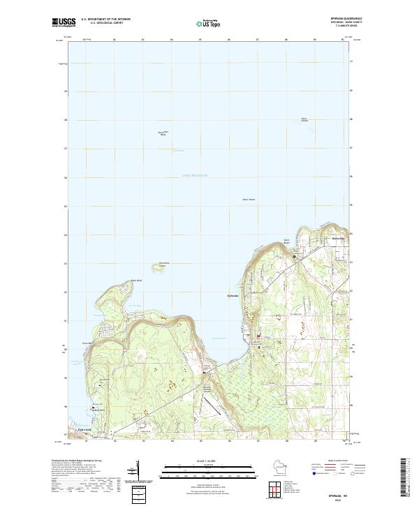 2022 Ephraim2022 Print · USGSThe Door Peninsula shoreline comes into sharp focus in this recent survey of the lands between Ephraim and Sister Bay. Researchers can trace local lineage through several sites like Bethany Lutheran Cem and Little Sister Cem or explore landmarks like Eagle Bluff.
 - 2022 Map of Sister Bay, 2022 Print
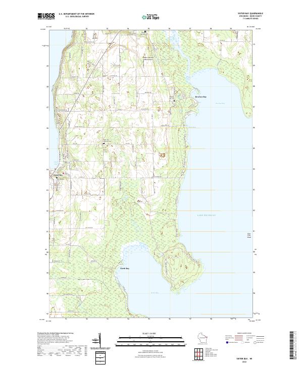 2022 Sister Bay2022 Print · USGSThe Door Peninsula shoreline near Sister Bay is captured here as it appeared in the early 2020s. Genealogists and local historians can locate Saint Rosalia Cem, the Sister Bay Moravian Cem, and the winding course of the Mink River as it enters Rowleys Bay.
End of results
Showing maps 1-17 of 17
Top cities near Sister Bay
- Baileys Harbor historical maps
- Jacksonport historical maps
- Washington historical maps
- Ephraim historical maps
- Egg Harbor historical maps
Frequently asked questions
- What are the different types of historical maps available for Sister Bay?
- What is the oldest map of Sister Bay?
- Where can I purchase historical maps of Sister Bay for my home or office?
- Where can I download high-res historical maps of Sister Bay?
- Are there historical topographic maps available for Sister Bay?
- Is there historical aerial imagery available for Sister Bay?
- Where are historical maps of Sister Bay sourced from?