1970s Maps of Dunn County, Wisconsin
Explore 27 historic maps of Dunn County from the 1970s. These maps offer a rare glimpse into what life looked like during the 1970s — showing old roads, neighborhoods, homes, and landmarks that have changed or disappeared over time.
Whether you're researching your family's past, planning a metal detecting trip, or studying how Dunn County's landscape evolved across the 1970s, these high-resolution maps are a powerful tool for exploring the history of this region.
- Focus on a specific era: All maps on this page are from the 1970s, giving you a focused view of this time period.
- See what’s changed: Compare century-old streets, trails, and buildings to today's modern landscape using overlays and satellite layers.
- Research with precision: Use these maps for genealogy, historical research, land use analysis, or educational projects.
- View, download, or print: Maps are fully viewable online in high resolution, and can be downloaded or printed for your own records.
Start exploring Dunn County's history through authentic maps from the 1970s. This is your window into the past.
Dunn County, WI maps
(27)- 1972 Map of Menomonie North, 1975 Print
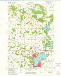 1972 Menomonie North1975 Print · USGSDunn County in the early seventies shows a landscape of expanding university life and river-based industry. Locate family roots at Sherman Cem, trace the railroad to Menomonie Junction, or study the grounds of Stout State Univ.
 - 1972 Map of Colfax South, 1975 Print
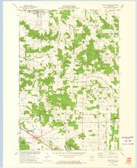 1972 Colfax South1975 Print · USGSDunn County at the start of the 1970s shows a landscape defined by its river valleys and established rail lines. Genealogists and local historians can trace the foundations of Colfax and Elk Mound, and locate rural landmarks such as Big Elk Creek Ch and Evergreen Cem.
 - 1972 Map of Meridean, 1975 Print
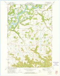 1972 Meridean1975 Print · USGSThe Chippewa River valley in the early seventies shows a landscape of fertile bottoms and rural townships. Researchers can trace family roots at Fossum Cem and Peru Cem or locate old school sites like Grandview Sch.
 - 1972 Map of Durand North, 1975 Print
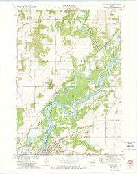 1972 Durand North1975 Print · USGSThe Chippewa River valley in the early 1970s reveals a landscape of complex waterways and rail-side settlements. Researchers can trace the path of the Chicago Milwaukee St Paul and Pacific railroad past Dunnville or locate family sites like Evergreen Cem and Waubeek Mound.
 - 1972 Map of Plum City, 1975 Print
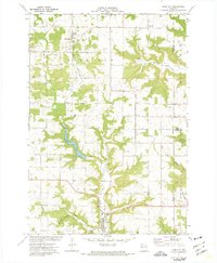 1972 Plum City1975 Print · USGSPierce County at the start of the 1970s shows a landscape of deep coulees and ridge-top farming. Trace old family lines and local landmarks from Plum City to Exile, including Poplar Hill Cem and the waters of Nugget Lake.
 - 1972 Map of Arkansaw, 1975 Print
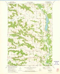 1972 Arkansaw1975 Print · USGSThe Coulee Region of Pepin and Dunn counties is shown here in the early 1970s as a land of high ridges and narrow valleys. Genealogists can trace family landmarks like Weber Valley Cem, St Henrys Ch, and the rural community of Arkansaw.
 - 1972 Map of Rusk, 1975 Print
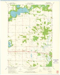 1972 Rusk1975 Print · USGSDunn County in the early seventies shows a landscape where the Chicago and North Western railroad still connects rural towns. Genealogists can trace local roots through several family and community sites, including Hill Grove Cem, Potters Field Cem, and the St Katherine Ch Cem near Rusk.
 - 1972 Map of Menomonie South, 1975 Print
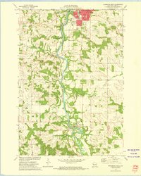 1972 Menomonie South1975 Print · USGSDunn County at the start of the 1970s shows a landscape shaped by the Red Cedar River and the Milwaukee Road rail line. Genealogists and local historians can locate many rural cemeteries like Grandview Cem or explore the early campus of Stout State Univ.2 unique versions available
 - 1972 Map of Elk Creek Lake, 1975 Print
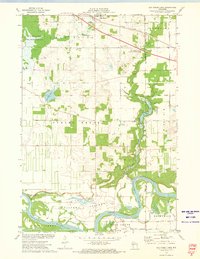 1972 Elk Creek Lake1975 Print · USGSDunn and Eau Claire counties are captured here in the early seventies, where the Chippewa River winds through fertile bottomlands. Genealogists can locate several rural burial sites, including St Joseph and Peterson Cem, and trace the path of the Chicago and North Western railroad near Elk Mound.
 - 1972 Map of Falls City, 1975 Print
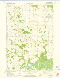 1972 Falls City1975 Print · USGSDunn County at the start of the 1970s reveals a landscape of active river bottoms and small-town landmarks. Genealogists and local historians can trace family ties at Falls City Cemetery, identify former school sites like Little Elk Creek School, and locate the C M St P & P rail line.
 - 1973 Map of Rock Falls, 1975 Print
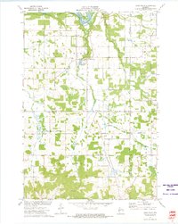 1973 Rock Falls1975 Print · USGSDunn and Eau Claire Counties are captured here in the early 1970s, showing a landscape defined by the Chippewa River and rail lines. Researchers can locate rural landmarks like the Rock Creek Cem, the Rock Falls Millpond, and Caryville.
 - 1974 Map of Wilson, 1977 Print
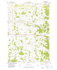 1974 Wilson1977 Print · USGSThe rural border of St. Croix and Dunn Counties comes into focus in the 1970s, as the railroad connects the villages of Hersey and Wilson. Genealogists and local historians can locate the St Bridget Cem, the Cady-Wilson Sch, and the small community of Brandvold.
 - 1974 Map of Weston, 1977 Print
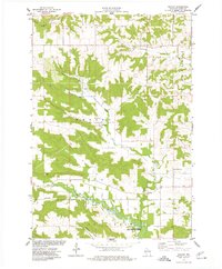 1974 Weston1977 Print · USGSDunn County farmland and the Eau Galle watershed are captured in the mid-seventies, showing a landscape of small rural hubs and active conservation. Researchers can locate local burial sites like Lower Weston Cem and trace old roads near Weston and the Fish Hatchery.
 - 1974 Map of Knapp, 1977 Print
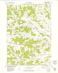 1974 Knapp1977 Print · USGSDunn County farmland and wooded hills surround Knapp in the mid-1970s as the rail line still shapes the local landscape. Genealogists can trace rural roots through family-named landmarks like Teegarden Cem, Mamre Cem, and the Lucas Sch.
 - 1974 Map of Spring Valley, 1977 Print
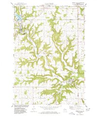 1974 Spring Valley1977 Print · USGSWestern Wisconsin's river valleys and rural settlements are captured here in the mid-1970s as the Eau Galle Reservoir altered the local hydrology. Genealogists and local historians can trace family sites at Hatchville, St Michael Cem, and Oak Ridge Cem.
 - 1975 Map of Stillwater
 1975 Stillwater1975 Print · USGSThe Twin Cities and the St. Croix Valley are captured in the mid-seventies, showing the urban growth of Minneapolis and St Paul. Researchers can trace old rail corridors of the Northern Pacific RR and locate tribal lands at the Mille Lacs Indian Reservation.2 unique versions available
 - 1975 Map of Connorsville, 1978 Print
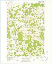 1975 Connorsville1978 Print · USGSDunn and Barron Counties are captured in the mid-seventies, showing a network of rural hamlets and winding waterways. Genealogists can locate family sites like Akers Cem and New Haven Cem or trace the early paths of Sheridan Rd.
 - 1975 Map of Colfax North, 1978 Print
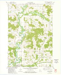 1975 Colfax North1978 Print · USGSDunn County at the mid-point of the 1970s shows a landscape of river-bottom farms and quiet rural crossroads. Genealogists can trace family footprints through numerous sites like St Johns Ch, Evergreen Cem, and the village streets of Colfax.
 - 1975 Map of Rock Falls, 1978 Print
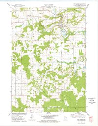 1975 Rock Falls1978 Print · USGSIn the mid-seventies, this portion of Sauk County reveals a landscape of industrial quarries and winding river valleys. Researchers can trace the routes of the Chicago and North Western rail line and locate rural landmarks like Zion Ch, Van Hise Rock, and the Westfield Ch Cem.
 - 1975 Map of Sand Creek, 1978 Print
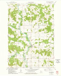 1975 Sand Creek1978 Print · USGSNorthwest Wisconsin in the 1970s shows a landscape defined by the winding Red Cedar River and the rural communities of Dunn and Barron Counties. Genealogists and local historians can trace family locations near Sand Creek, Cruikshank, and several early burial grounds including Zion Cem and Springbrook Cem.
 - 1975 Map of Norton, 1978 Print
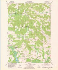 1975 Norton1978 Print · USGSDunn County’s rural landscape is captured here in the mid-seventies, showing the agricultural heart of the region before modern expansion. Researchers can trace the Soo Line railroad and locate historical sites like Norton Ch and the Upper Popple Creek Cem.
 - 1975 Map of Boyceville, 1978 Print
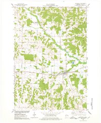 1975 Boyceville1978 Print · USGSThe rural landscape of Dunn County is captured here in the mid-seventies as the SOO LINE still connects the farming communities. Researchers can trace the village layouts of Boyceville and Downing or locate rural sites like Mound Cem and Holy Trinity Ch.
 - 1975 Map of Ridgeland NE, 1978 Print
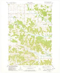 1975 Ridgeland NE1978 Print · USGSNorthern Dunn County was a landscape of creek valleys and country schools in the mid-seventies. Genealogists and historians can trace family-named sites like Massie Road, old burials at Tollebu Cem, and the path of an Old RR Grade.
 - 1975 Map of Wheeler, 1978 Print
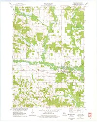 1975 Wheeler1978 Print · USGSDunn County life in the mid-seventies centers on the confluence of the Hay River and the Soo Line railroad. Researchers can trace rural landmarks like Hay River Cem, the Church of the Nazarene, and the small settlement of Dewey.
 - 1975 Map of Graytown, 1978 Print
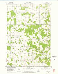 1975 Graytown1978 Print · USGSSmall farming settlements and the headwaters of the Willow River define this western Wisconsin region in the mid-seventies. Genealogists can trace family footprints at Sunnyside Sch, Reeve, and the Old Grade Railroad.
Showing maps 1-25 of 27
Top cities of Dunn County
- Menomonie historical maps
- Tainter historical maps
- Red Cedar historical maps
- Colfax historical maps
- Elk Mound historical maps
- Boyceville historical maps
See more
Frequently asked questions
- What are the different types of historical maps available for Dunn County?
- What is the oldest map of Dunn County?
- Where can I purchase historical maps of Dunn County for my home or office?
- Where can I download high-res historical maps of Dunn County?
- Are there historical topographic maps available for Dunn County?
- Is there historical aerial imagery available for Dunn County?
- Where are historical maps of Dunn County sourced from?