Old Maps of Clear Creek, Wisconsin
Explore 30 old maps of Clear Creek, spanning from 1927 to today. These high-resolution historic maps reveal how streets, neighborhoods, landmarks, and natural features evolved over time — perfect for genealogy, metal detecting, research, and local history exploration.
What you can do with these maps:
- See how Clear Creek changed over time: Compare historical maps to modern-day views to trace roads, homesites, rail lines & more.
- View detailed metadata: Each map includes creators, publishers, year, scale, and archive source.
- Overlay maps with satellite & LiDAR: Visualize the past alongside modern tools to explore terrain & human change.
- Trusted historical sources: Maps sourced from the USGS, Library of Congress, and other archives.
- Access maps your way: View online, download high-res files, or order prints for personal or research use.
Start exploring old maps of Clear Creek to uncover forgotten places, hidden landmarks, and the deep history beneath your feet.
Clear Creek, WI maps
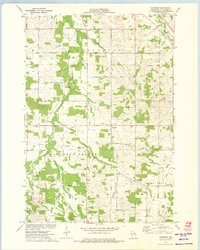
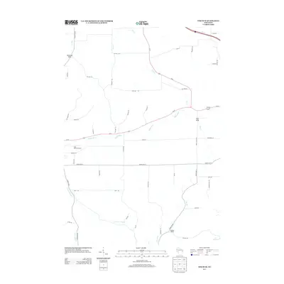
(30)- 1927 Map of Strum, 1972 Print
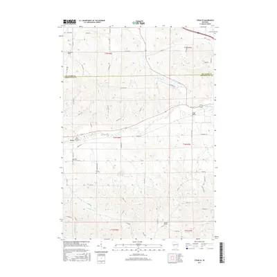
 1927 Strum1972 Print · USGSWisconsin's coulee country in the late 1920s is captured here, showing the river-and-rail economies of the Buffalo River valley. Genealogists can locate dozens of country schoolhouses like Hale Corner Sch and family-named landmarks such as Hadleyville Cem.
 - 1930 Map of Strum
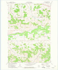
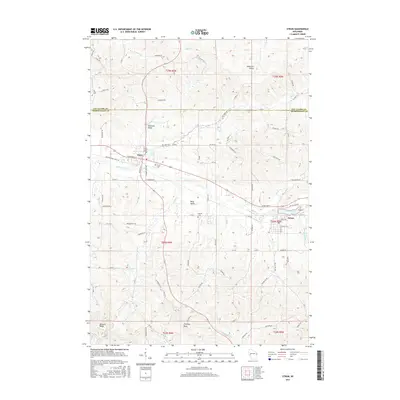
 1930 Strum1930 Print · USGSWestern Wisconsin's river valleys and rail corridors are captured here just before the 1930s. Researchers can trace the lineage of rural townships like Washington and Unity through a network of country schools and churches, including St Paul Ch and Big Creek Sch.2 unique versions available
 - 1953 Map of Eau Claire, 1965 Print
 1953 Eau Claire1965 Print · USGSWest-central Wisconsin in the mid-fifties shows a landscape of river-valley industry and vast wildlife refuges during the transition from rails to modern highways. Genealogists and historians can trace the rail corridors of the Chicago and North Western or locate family-named landmarks like Decorah Mound and Chippewa Island.4 unique versions available
 - 1958 Map of Eau Claire
 1958 Eau Claire1958 Print · USGSWestern Wisconsin in the late fifties shows a landscape of growing regional hubs and massive wildlife refuges. Trace the rail lines of the Chicago and North Western between Eau Claire and Marshfield, or explore the terrain around Iron Mound and Lake Wissota.
 - 1964 Map of Eau Claire
 1964 Eau Claire1964 Print · USGSWest-central Wisconsin in the mid-1960s was a hub of river-driven industry and expanding rail networks. Researchers can trace historic homesteads near Menomonie, follow the Soo Line RR through Marshfield, or explore the grounds of the Camp McCoy Military Reservation.
 - 1973 Map of Cleghorn, 1975 Print
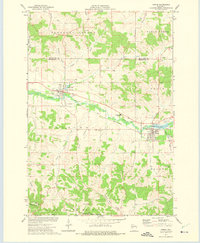
 1973 Cleghorn1975 Print · USGSThe rural landscape south of Eau Claire is captured here in the early seventies as farming and local infrastructure defined the valley. Researchers can locate family sites near Hadleyville Cem, Pleasant Valley Ch, and Martinkas Landing Field.
 - 1973 Map of Strum SE, 1975 Print
 1973 Strum SE1975 Print · USGSTrempealeau County in the early seventies is shown here as a landscape of interconnected river valleys and rural townships. Researchers can trace the Chicago and North Western rail line and locate local landmarks like West Beef River Cem and Viking Airfield.
 - 1973 Map of Strum, 1975 Print
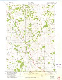
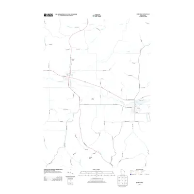
 1973 Strum1975 Print · USGSTrempealeau County farm and rail life are centered here in the early seventies, as the river valley connects active village centers. Genealogists and historians can trace local landmarks like Hamlin Cem, the Central Area High Sch, and the winding Chicago and North Western rail line.
 - 1973 Map of Brackett, 1975 Print
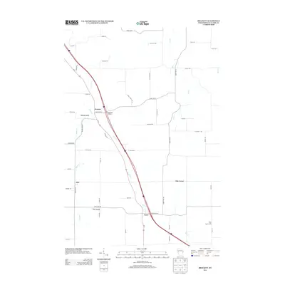
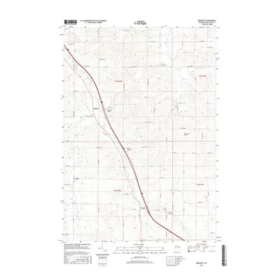
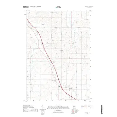
 1973 Brackett1975 Print · USGSSoutheast of Eau Claire in the 1970s, this area reflects a quiet rural landscape of small crossroads and family farms. Genealogists and local historians can trace family-named landmarks and community centers like Brackett Sch, Hale Corner, and the Holy Guardian Angels Cem.
 - 1985 Map of Eau Claire
 1985 Eau Claire1985 Print · USGSWestern Wisconsin's river valleys and growing mid-century cities are captured here in the mid-eighties. Genealogists and historians can trace the paths of the Chicago and North Western railroad and locate rural landmarks like Dells Millpond and Nine Mile Island.2 unique versions available
 - 2010 Map of Brackett, 2010 Print
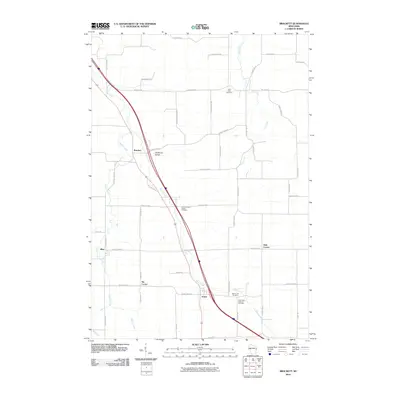 2010 Brackett2010 Print · USGSCovers Clear Creek, including Otter Creek, Foster, and other nearby areas
 - 2010 Map of Cleghorn, 2010 Print
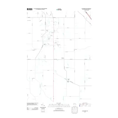
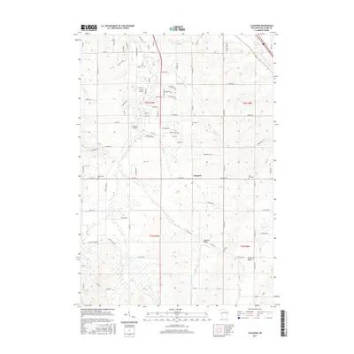
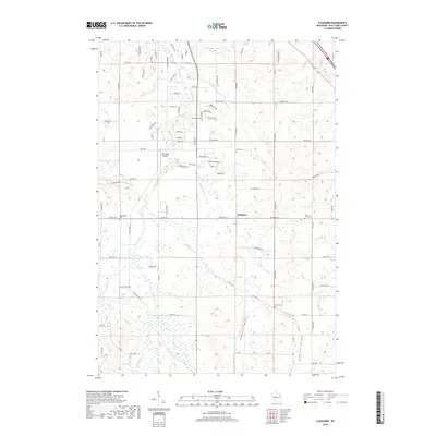
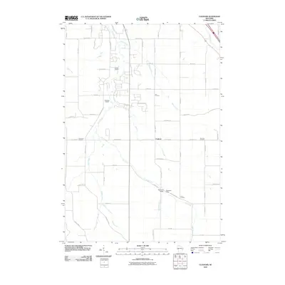 2010 Cleghorn2010 Print · USGSCovers Clear Creek, including Eau Claire, Pleasant Valley, and other nearby areas
 - 2010 Map of Strum, 2010 Print
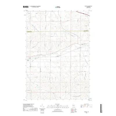
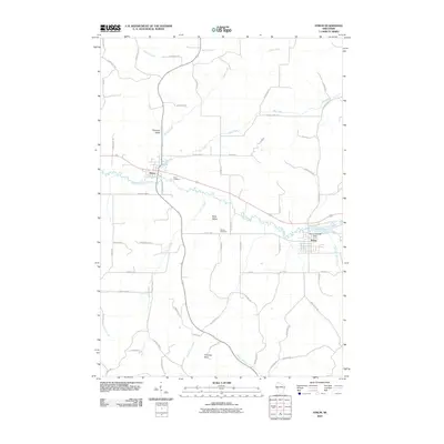 2010 Strum2010 Print · USGSCovers Clear Creek, including Pleasant Valley, Strum, and other nearby areas
 - 2010 Map of Strum SE, 2010 Print
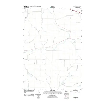 2010 Strum SE2010 Print · USGSCovers Clear Creek, including Strum, Hale, and other nearby areas
 - 2013 Map of Strum SE, 2013 Print
 2013 Strum SE2013 Print · USGSCovers Clear Creek, including Strum, Hale, and other nearby areas
 - 2013 Map of Strum, 2013 Print
 2013 Strum2013 Print · USGSCovers Clear Creek, including Pleasant Valley, Strum, and other nearby areas
 - 2013 Map of Brackett, 2013 Print
 2013 Brackett2013 Print · USGSCovers Clear Creek, including Otter Creek, Foster, and other nearby areas
 - 2013 Map of Cleghorn, 2013 Print
 2013 Cleghorn2013 Print · USGSCovers Clear Creek, including Eau Claire, Pleasant Valley, and other nearby areas
 - 2015 Map of Brackett, 2015 Print
 2015 Brackett2015 Print · USGSCovers Clear Creek, including Otter Creek, Foster, and other nearby areas
 - 2015 Map of Strum, 2015 Print
 2015 Strum2015 Print · USGSCovers Clear Creek, including Pleasant Valley, Strum, and other nearby areas
 - 2015 Map of Cleghorn, 2015 Print
 2015 Cleghorn2015 Print · USGSCovers Clear Creek, including Eau Claire, Pleasant Valley, and other nearby areas
 - 2015 Map of Strum SE, 2015 Print
 2015 Strum SE2015 Print · USGSCovers Clear Creek, including Strum, Hale, and other nearby areas
 - 2018 Map of Cleghorn, 2018 Print
 2018 Cleghorn2018 Print · USGSCovers Clear Creek, including Eau Claire, Pleasant Valley, and other nearby areas
 - 2018 Map of Brackett, 2018 Print
 2018 Brackett2018 Print · USGSCovers Clear Creek, including Otter Creek, Foster, and other nearby areas
 - 2018 Map of Strum SE, 2018 Print
 2018 Strum SE2018 Print · USGSCovers Clear Creek, including Strum, Hale, and other nearby areas
Showing maps 1-25 of 30
Top cities near Clear Creek
- Eau Claire historical maps
- Altoona historical maps
- Lake Hallie historical maps
- Town of Washington historical maps
- Pleasant Valley historical maps
- Seymour historical maps
See more
Top neighborhoods of Clear Creek
Frequently asked questions
- What are the different types of historical maps available for Clear Creek?
- What is the oldest map of Clear Creek?
- Where can I purchase historical maps of Clear Creek for my home or office?
- Where can I download high-res historical maps of Clear Creek?
- Are there historical topographic maps available for Clear Creek?
- Is there historical aerial imagery available for Clear Creek?
- Where are historical maps of Clear Creek sourced from?