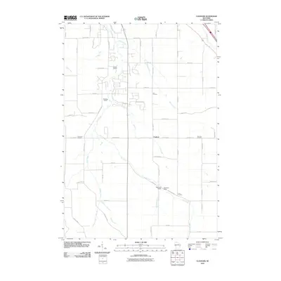
2010 Map of Cleghorn
USGS Topo · Published 2010About this map
Cleghorn and the surrounding rural landscapes of Eau Claire County are defined by a complex network of waterways, including Lowes Creek, Clear Creek, and Willow Creek. The terrain is characterized by winding creek valleys, notably Sigmund Valley and Anderson Valley in the southeast, where agricultural lands meet the natural drainage systems of the region. Local aviation history is represented by the presence of both Carlson Airport and Mertinkes Airport, situated among the farmsteads and rural residential developments.
Find a feature on this map
55 named features on this map. Tap any name to fly to it.
Don’t see what you’re looking for? This feature index may not catch every label — zoom into the map to look around manually.
Map Details
Editions of this 2010 Cleghorn Map
This is the sole edition of this map. No revisions or reprints were ever made.
Other maps of this area

1927 · Strum
USGS Topo · 1:62,500

1930 · Strum
USGS Topo · 1:62,500

1932 · Mondovi
USGS Topo · 1:62,500

1934 · Elk Mound
USGS Topo · 1:62,500

1934 · Chippewa Falls
USGS Topo · 1:62,500

1936 · Chippewa Falls
USGS Topo · 1:62,500

1936 · Elk Mound
USGS Topo · 1:62,500

1953 · Eau Claire
USGS Topo · 1:250,000

1958 · Eau Claire
USGS Topo · 1:250,000

1964 · Eau Claire
USGS Topo · 1:250,000