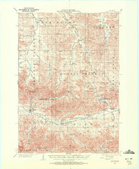
1927 Map of Strum
USGS Topo · Published 1972About this map
The Buffalo River valley serves as the primary corridor for settlement and transit across this portion of Trempealeau Co and Eau Claire Co, where the Chicago St Paul Minneapolis and Omaha railroad follows the river's winding course. This infrastructure connects the primary villages of Strum and Eleva, which sit as southern anchors for a landscape defined by an exceptionally dense network of early 20th-century rural schoolhouses and churches. From the Porter Sch in the north to the Johnson Valley Sch in the south, these localized hubs reveal the distribution of farming families across the coulées and ridges.
Find a feature on this map
84 named features on this map. Tap any name to fly to it.
Don’t see what you’re looking for? This feature index may not catch every label — zoom into the map to look around manually.
Map Details
Editions of this 1927 Strum Map
This is the sole edition of this map. No revisions or reprints were ever made.
Other maps of this area
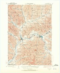
1926 · Whitehall
USGS Topo · 1:62,500
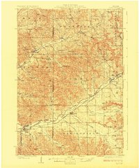
1927 · Blair
USGS Topo · 1:62,500
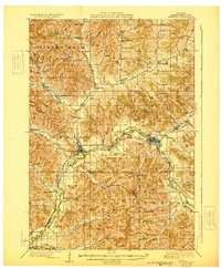
1929 · Whitehall
USGS Topo · 1:62,500
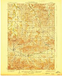
1930 · Strum
USGS Topo · 1:62,500
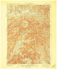
1932 · Gilmanton
USGS Topo · 1:62,500
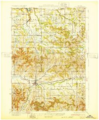
1932 · Mondovi
USGS Topo · 1:62,500
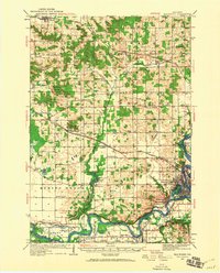
1934 · Elk Mound
USGS Topo · 1:62,500
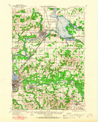
1934 · Chippewa Falls
USGS Topo · 1:62,500
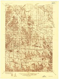
1935 · Osseo
USGS Topo · 1:48,000
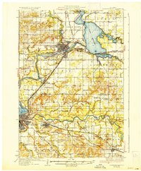
1936 · Chippewa Falls
USGS Topo · 1:62,500