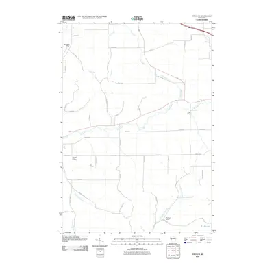
2010 Map of Strum SE
USGS Topo · Published 2010About this map
Rumstead Valley, Kings Valley, and Holman Valley define the agricultural landscape of this corner of Trempealeau County during the early 21st century. The drainage pattern is dominated by the meandering Buffalo River crossing the center of the sheet, fed by numerous tributaries including Pine Creek and King Creek. For local historians and genealogists, the map identifies specific community landmarks such as the West Beef River Cemetery and Prairie View Cemetery, which serve as quiet anchors for the surrounding rural area. The terrain is marked by a complex network of local roads named for families and landmarks, such as Moldenhauer Rd, W Daves Rd, and Bolling Rd. The presence of the 0.3 Reservoir and the headwaters of the North Branch Elk Creek illustrate the intersection of water management and the natural watershed in this Wisconsin valley region.
Find a feature on this map
48 named features on this map. Tap any name to fly to it.
Don’t see what you’re looking for? This feature index may not catch every label — zoom into the map to look around manually.
Map Details
Editions of this 2010 Strum SE Map
This is the sole edition of this map. No revisions or reprints were ever made.
Other maps of this area

1926 · Whitehall
USGS Topo · 1:62,500

1927 · Blair
USGS Topo · 1:62,500

1927 · Strum
USGS Topo · 1:62,500

1929 · Whitehall
USGS Topo · 1:62,500

1930 · Strum
USGS Topo · 1:62,500

1935 · Osseo
USGS Topo · 1:48,000

1940 · Osseo
USGS Topo · 1:62,500

1953 · Eau Claire
USGS Topo · 1:250,000

1958 · Eau Claire
USGS Topo · 1:250,000

1964 · Eau Claire
USGS Topo · 1:250,000