Old Maps of Upper Campus, Eau Claire for Metal Detecting
Plan your next treasure hunt with 12 historic maps of Upper Campus. Find old homesites, ghost towns, trails, and gathering spots that may be lost to time — perfect for identifying promising metal detecting locations.
- Locate forgotten sites: Uncover places like long-lost settlements, abandoned rail lines, or gathering spots.
- Plan better hunts: Use map overlays combined with LiDAR or satellite views to narrow in on historically rich areas.
- Made for detectorists: Thousands of hobbyists use these maps to discover relics, coins, and hidden history.
Use these historic maps to boost your research and find new opportunities beneath the surface of Upper Campus.
Upper Campus, Eau Claire maps
(12)- 1934 Map of Elk Mound, 1960 Print
 1934 Elk Mound1960 Print · USGSDunn and Eau Claire counties come alive in this mid-thirties survey, showing the intricate network of rural schools and the bustling rail corridor through Elk Mound. Genealogists can trace family roots at Porters Mills, Big Elk Creek Ch, or numerous local school sites like Waneka Sch.2 unique versions available
 - 1936 Map of Elk Mound
 1936 Elk Mound1936 Print · USGSDunn and Eau Claire Counties in the mid-thirties show a landscape of thriving rural school districts and river-bound commerce. Genealogists can trace family landmarks like The Yankee Woods or locate vanished sites like Porters Mills and the Old Meridean Ferry.2 unique versions available
 - 1953 Map of Eau Claire, 1965 Print
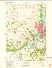
 1953 Eau Claire1965 Print · USGSWest-central Wisconsin in the mid-fifties shows a landscape of river-valley industry and vast wildlife refuges during the transition from rails to modern highways. Genealogists and historians can trace the rail corridors of the Chicago and North Western or locate family-named landmarks like Decorah Mound and Chippewa Island.4 unique versions available
 - 1958 Map of Eau Claire
 1958 Eau Claire1958 Print · USGSWestern Wisconsin in the late fifties shows a landscape of growing regional hubs and massive wildlife refuges. Trace the rail lines of the Chicago and North Western between Eau Claire and Marshfield, or explore the terrain around Iron Mound and Lake Wissota.
 - 1964 Map of Eau Claire
 1964 Eau Claire1964 Print · USGSWest-central Wisconsin in the mid-1960s was a hub of river-driven industry and expanding rail networks. Researchers can trace historic homesteads near Menomonie, follow the Soo Line RR through Marshfield, or explore the grounds of the Camp McCoy Military Reservation.
 - 1972 Map of Eau Claire West, 1975 Print
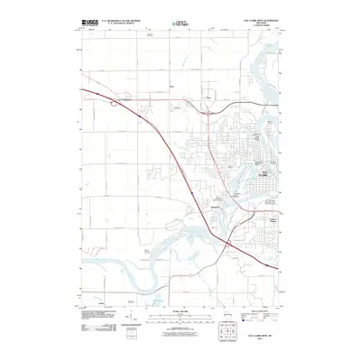
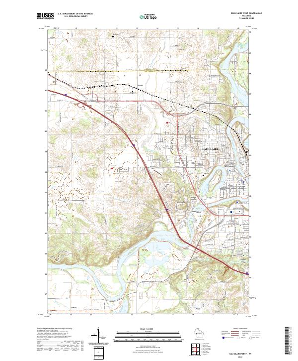
 1972 Eau Claire West1975 Print · USGSEau Claire was a bustling river and rail hub in the early seventies, centered around the Chippewa River and its industrial corridors. Researchers can trace historic local sites from the Univ of Wisconsin campus to the Lakeview Cemetery and the old Dells Dam.2 unique versions available
 - 1985 Map of Eau Claire
 1985 Eau Claire1985 Print · USGSWestern Wisconsin's river valleys and growing mid-century cities are captured here in the mid-eighties. Genealogists and historians can trace the paths of the Chicago and North Western railroad and locate rural landmarks like Dells Millpond and Nine Mile Island.2 unique versions available
 - 2010 Map of Eau Claire West, 2010 Print
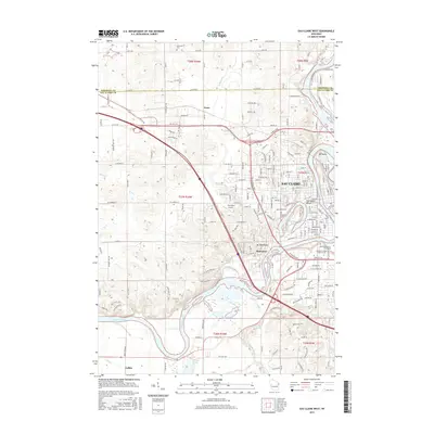
 2010 Eau Claire West2010 Print · USGSCovers Upper Campus, including Eau Claire, Union, and other nearby areas
 - 2013 Map of Eau Claire West, 2013 Print
 2013 Eau Claire West2013 Print · USGSCovers Upper Campus, including Eau Claire, Union, and other nearby areas
 - 2015 Map of Eau Claire West, 2015 Print
 2015 Eau Claire West2015 Print · USGSCovers Upper Campus, including Eau Claire, Union, and other nearby areas
 - 2018 Map of Eau Claire West, 2018 Print
 2018 Eau Claire West2018 Print · USGSCovers Upper Campus, including Eau Claire, Union, and other nearby areas
 - 2022 Map of Eau Claire West, 2022 Print
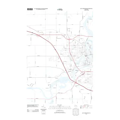
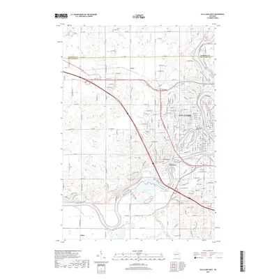
 2022 Eau Claire West2022 Print · USGSThe western reaches of Eau Claire and the winding Chippewa River valley are shown here in detail during the early 2020s. Researchers can locate the University of Wisconsin - Eau Claire campus, the Eau Claire County Courthouse, and the bluffs of Mt Washington.
End of results
Showing maps 1-12 of 12
Frequently asked questions
- What are the different types of historical maps available for Upper Campus?
- What is the oldest map of Upper Campus?
- Where can I purchase historical maps of Upper Campus for my home or office?
- Where can I download high-res historical maps of Upper Campus?
- Are there historical topographic maps available for Upper Campus?
- Is there historical aerial imagery available for Upper Campus?
- Where are historical maps of Upper Campus sourced from?