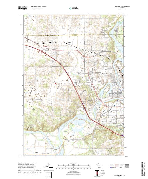
2022 Map of Eau Claire West
USGS Topo · Published 2022About this map
The Chippewa River carves a deep, winding path through this western section of Eau Claire, where the landscape is defined by the sharp transition from the river valley to the bluffs of Mt Washington and Mt Simon. The map documents a modern urban and educational corridor, centered on the University of Wisconsin - Eau Claire and the Chippewa Valley Technical College campus along the river's south bank. A notable concentration of religious and civic institutions appears on the eastern edge, including the Immanuel Lutheran Church, Immanuel Lutheran Seminary, and the Eau Claire County Courthouse.
Find a feature on this map
124 named features on this map. Tap any name to fly to it.
Don’t see what you’re looking for? This feature index may not catch every label — zoom into the map to look around manually.
Map Details
Editions of this 2022 Eau Claire West Map
This is the sole edition of this map. No revisions or reprints were ever made.
Other maps of this area

1927 · Strum
USGS Topo · 1:62,500

1930 · Strum
USGS Topo · 1:62,500

1932 · Mondovi
USGS Topo · 1:62,500

1934 · Elk Mound
USGS Topo · 1:62,500

1934 · Chippewa Falls
USGS Topo · 1:62,500

1936 · Chippewa Falls
USGS Topo · 1:62,500

1936 · Elk Mound
USGS Topo · 1:62,500

1953 · Eau Claire
USGS Topo · 1:250,000

1958 · Eau Claire
USGS Topo · 1:250,000

1964 · Eau Claire
USGS Topo · 1:250,000