Old Maps of Auburn, Wisconsin for Hiking & Exploration
Hike through history with 31 historic maps of Auburn. Explore old trails, ghost towns, and forgotten backroads — perfect for outdoor adventurers and local explorers.
- Rediscover forgotten places: Map out old mining camps, roads, and footpaths that no longer exist on modern maps.
- Layer with modern tools: Combine with LiDAR or satellite views to plan hikes through historical terrain.
- Made for exploration: Popular among hikers, overlanders, and local history lovers.
Use these maps to find adventure and explore the hidden past of Auburn.
Auburn, WI maps
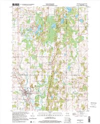
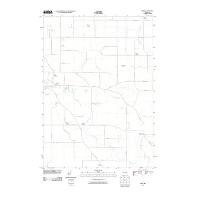
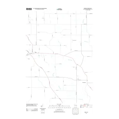
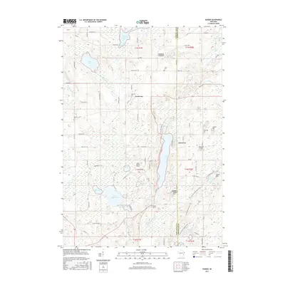
(31)- 1955 Map of Campbellsport, 1957 Print
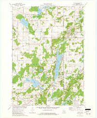
 1955 Campbellsport1957 Print · USGSThe Fond du Lac countryside in the mid-fifties shows a landscape of limestone quarries and rail-fed village centers. Genealogists can locate family landmarks like Silver Leaf Sch, Marblehead Quarries, and the Empire Cem.2 unique versions available
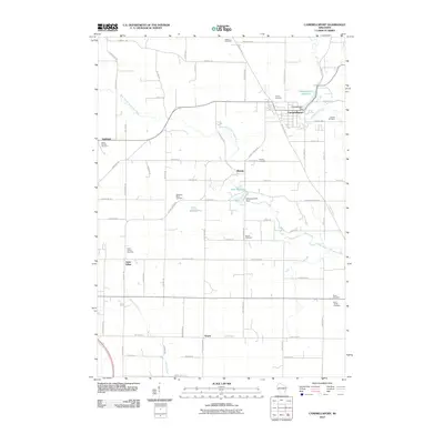
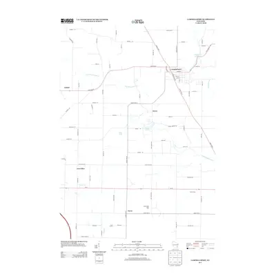
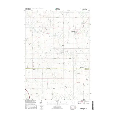
 - 1955 Map of Kewaskum, 1957 Print
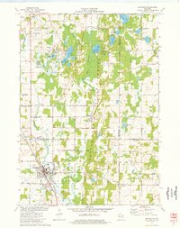
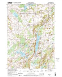
 1955 Kewaskum1957 Print · USGSMid-century eastern Wisconsin comes alive in this survey of the glacial Kettle Moraine region. Genealogists and historians can locate rural landmarks like Conners Mill, the Parnell Lookout Tower, and old schools including Mitchell Sch and Hillside Sch.4 unique versions available
 - 1957 Map of Madison, 1967 Print
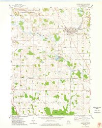
 1957 Madison1967 Print · USGSSouth-central Wisconsin in the mid-fifties reveals a landscape of industrial hubs and glacial lakes linked by a dense rail and highway network. Genealogists and historians can trace the development of lakeside communities and find notable sites like Badger Ordnance Works and the Horicon National Wildlife Refuge.3 unique versions available
 - 1960 Map of Madison
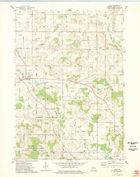
 1960 Madison1960 Print · USGSCentral and Southern Wisconsin are captured in the late fifties, showing the region as its rail-and-river network matured. Trace the paths of the Soo Line RR or locate family roots near Lake Mendota and Horicon National Wildlife Refuge.2 unique versions available
 - 1974 Map of Dundee, 1977 Print
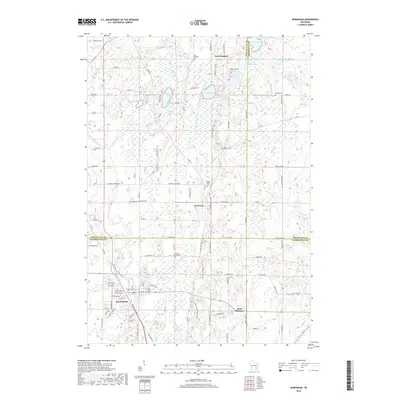
 1974 Dundee1977 Print · USGSThe glacial landscapes of Fond du Lac and Sheboygan counties are captured here in the mid-seventies, showing the intersection of conservation and rural life. Researchers can trace family sites at Union Cem and Trinity Cem or locate the old Townhall near Mud Lake.2 unique versions available
 - 1974 Map of Kewaskum, 1977 Print
 1974 Kewaskum1977 Print · USGSThe glacial landscapes of Washington and Sheboygan Counties are on full display in the mid-1970s, showcasing the intricate network of lakes and kettle formations. Researchers can trace rural life through the New Fane Millpond, early cemeteries like New Prospect Cem, and the Chicago and North Western rail corridor.
 - 1974 Map of Campbellsport, 1978 Print
 1974 Campbellsport1978 Print · USGSWisconsin's glacial legacy is on full display in the 1970s, as drumlin ridges and marshes define the landscape around Campbellsport. Family historians can locate several rural burial grounds like Union Cem and Deutsche Bisch Cem or trace the Chicago and North Western rail line.
 - 1974 Map of Eden, 1978 Print
 1974 Eden1978 Print · USGSFond du Lac County is shown in the mid-1970s, characterized by its distinctive glacial drumlin formations and rural townships. Researchers can trace historic family burial sites at Empire Cem and Gudex Cem or follow the path of the Chicago and North Western rail line.
 - 1980 Map of Fond Du Lac
 1980 Fond Du Lac1980 Print · USGSThe Fox River Valley and Horicon Marsh meet here during the late twentieth century, showing a transition from lakeside industry to glacial conservation. Genealogists can locate family sites at Estabrook Cem or trace the rail lines through Ripon and Waupun.
 - 1999 Map of Kewaskum, 2001 Print
 1999 Kewaskum2001 Print · USGSThe glacier-carved ridges of eastern Wisconsin are captured here at the close of the century, showing the intersection of three counties. Genealogists can locate family sites at New Prospect Cem, St Matthias Ch, or the historic New Fane Millpond.
 - 1999 Map of Dundee, 2001 Print
 1999 Dundee2001 Print · USGSGlacial geology and rural settlement patterns define this Fond du Lac County landscape at the close of the millennium. Researchers can trace local lineage through Union Cemetery or explore the area's development near Dundee, Armstrong, and Long Lake.
 - 2010 Map of Dundee, 2010 Print
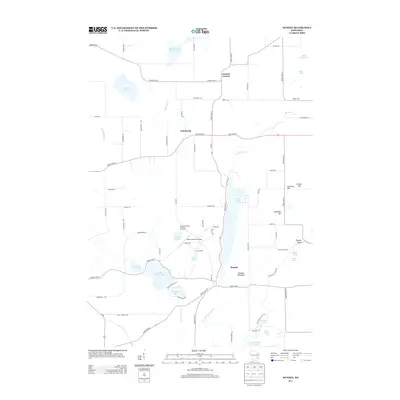
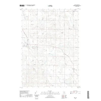
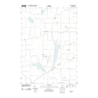 2010 Dundee2010 Print · USGSCovers Auburn, including Greenbush, Mitchell, and other nearby areas
 - 2010 Map of Kewaskum, 2010 Print
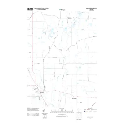
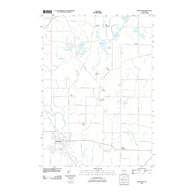 2010 Kewaskum2010 Print · USGSCovers Auburn, including Kewaskum, New Fane, and other nearby areas
 - 2010 Map of Eden, 2010 Print
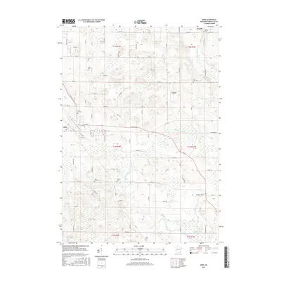
 2010 Eden2010 Print · USGSCovers Auburn, including Ashford, Eden, and other nearby areas
 - 2010 Map of Campbellsport, 2010 Print
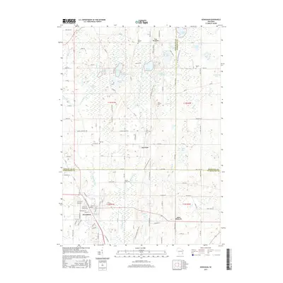
 2010 Campbellsport2010 Print · USGSCovers Auburn, including Kewaskum, Wayne, and other nearby areas
 - 2013 Map of Eden, 2013 Print
 2013 Eden2013 Print · USGSCovers Auburn, including Ashford, Eden, and other nearby areas
 - 2013 Map of Campbellsport, 2013 Print
 2013 Campbellsport2013 Print · USGSCovers Auburn, including Kewaskum, Wayne, and other nearby areas
 - 2013 Map of Dundee, 2013 Print
 2013 Dundee2013 Print · USGSCovers Auburn, including Greenbush, Mitchell, and other nearby areas
 - 2013 Map of Kewaskum, 2013 Print
 2013 Kewaskum2013 Print · USGSCovers Auburn, including Kewaskum, New Fane, and other nearby areas
 - 2015 Map of Eden, 2015 Print
 2015 Eden2015 Print · USGSCovers Auburn, including Ashford, Eden, and other nearby areas
 - 2015 Map of Kewaskum, 2015 Print
 2015 Kewaskum2015 Print · USGSCovers Auburn, including Kewaskum, New Fane, and other nearby areas
 - 2015 Map of Dundee, 2015 Print
 2015 Dundee2015 Print · USGSCovers Auburn, including Greenbush, Mitchell, and other nearby areas
 - 2015 Map of Campbellsport, 2015 Print
 2015 Campbellsport2015 Print · USGSCovers Auburn, including Kewaskum, Wayne, and other nearby areas
 - 2018 Map of Kewaskum, 2018 Print
 2018 Kewaskum2018 Print · USGSCovers Auburn, including Kewaskum, New Fane, and other nearby areas
 - 2018 Map of Eden, 2018 Print
 2018 Eden2018 Print · USGSCovers Auburn, including Ashford, Eden, and other nearby areas
Showing maps 1-25 of 31
Top cities near Auburn
- Fond du Lac historical maps
- West Bend historical maps
- Plymouth historical maps
- Slinger historical maps
- Kewaskum historical maps
- Taycheedah historical maps
See more
Top neighborhoods of Auburn
Frequently asked questions
- What are the different types of historical maps available for Auburn?
- What is the oldest map of Auburn?
- Where can I purchase historical maps of Auburn for my home or office?
- Where can I download high-res historical maps of Auburn?
- Are there historical topographic maps available for Auburn?
- Is there historical aerial imagery available for Auburn?
- Where are historical maps of Auburn sourced from?