2020s Maps of Wabeno, Wisconsin
Explore 6 historic maps of Wabeno from the 2020s. These maps offer a rare glimpse into what life looked like during the 2020s — showing old roads, neighborhoods, homes, and landmarks that have changed or disappeared over time.
Whether you're researching your family's past, planning a metal detecting trip, or studying how Wabeno's landscape evolved across the 2020s, these high-resolution maps are a powerful tool for exploring the history of this region.
- Focus on a specific era: All maps on this page are from the 2020s, giving you a focused view of this time period.
- See what’s changed: Compare century-old streets, trails, and buildings to today's modern landscape using overlays and satellite layers.
- Research with precision: Use these maps for genealogy, historical research, land use analysis, or educational projects.
- View, download, or print: Maps are fully viewable online in high resolution, and can be downloaded or printed for your own records.
Start exploring Wabeno's history through authentic maps from the 2020s. This is your window into the past.
Wabeno, WI maps
(6)- 2022 Map of Otter Lake, 2022 Print
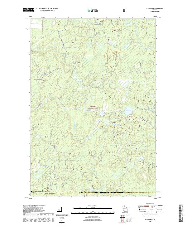 2022 Otter Lake2022 Print · USGSForest County in the early twenty-first century remains a landscape of deep timber and glacial waters within the Nicolet National Forest. Researchers can trace the layout of the Carter settlement or locate family landmarks near Otter Lake, Turtle Lake, and the Nicolet State Trl.
 - 2022 Map of Goodman SW, 2022 Print
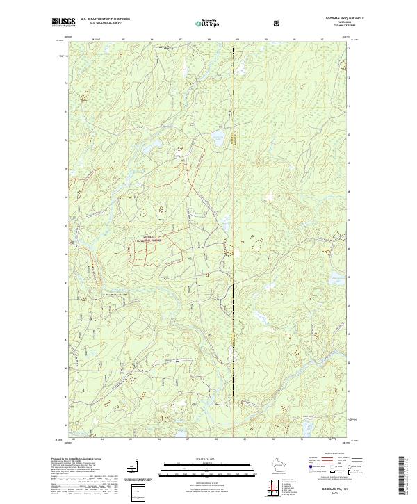 2022 Goodman SW2022 Print · USGSNortheastern Wisconsin's timberlands and river systems are documented here in the early twenty-first century. Researchers can trace the winding course of the Peshtigo River and locate secluded waters such as Camp Six Lake and Valley Lake.
 - 2022 Map of Blackwell, 2022 Print
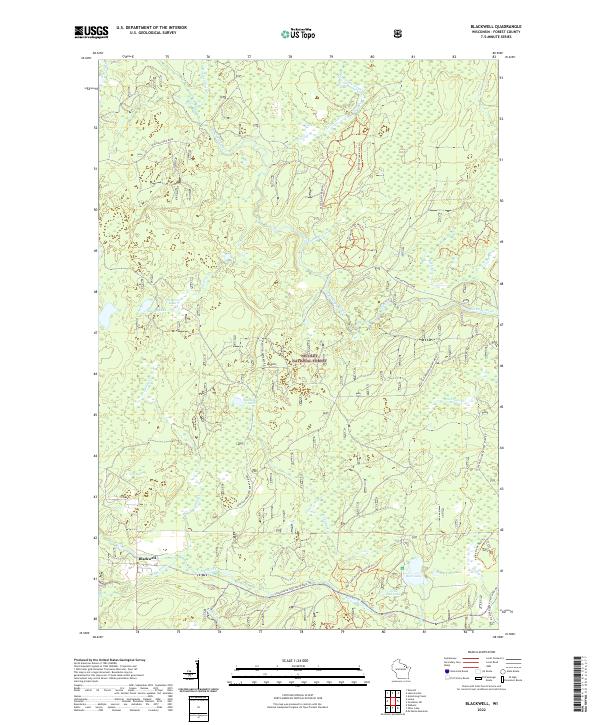 2022 Blackwell2022 Print · USGSForest County's timberlands and waterways are showcased in this recent survey of the Northwoods. Researchers can trace recreational networks and hydrological features from the Blackwell settlement to Bear Lake and the Peshtigo River.
 - 2022 Map of Laona, 2022 Print
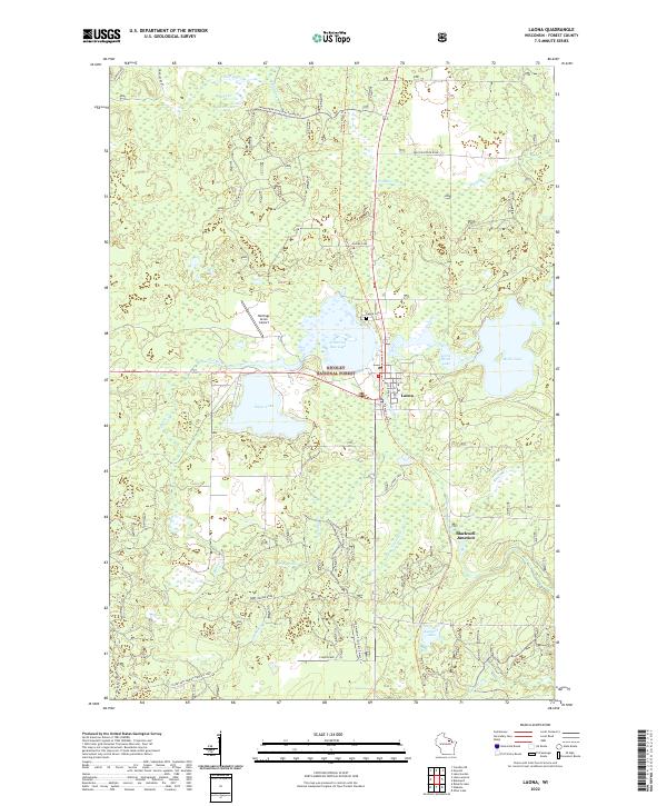 2022 Laona2022 Print · USGSForest County in the early 2020s remains a landscape of dense timber and glacial waters centered on the lumber-heritage town of Laona. Researchers can trace old transportation corridors along the Nicolet State Trl or locate local landmarks like Laona Cem and Blackwell Junction.
 - 2022 Map of Wabeno, 2022 Print
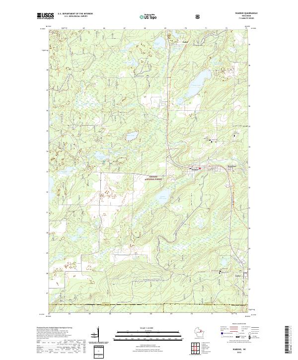 2022 Wabeno2022 Print · USGSForest County's timber and lake country is captured here during the early twenty-first century, centered on the historic lumber towns of Wabeno and Soperton. Researchers can locate several community landmarks including Saint Ambrose Cem, the Nicolet State Trl, and the waters of Trump Lake.
 - 2022 Map of McCaslin Mountain, 2022 Print
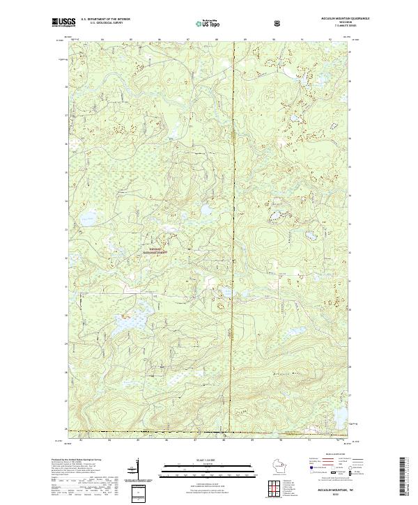 2022 McCaslin Mountain2022 Print · USGSThe northern Wisconsin wilderness comes into focus in this recent survey of the forest-and-lake country within the Nicolet National Forest. You can trace the drainage of the Rat River and locate secluded landings at Harper Lake, Deer Lake, and along the slopes of McCaslin Mtn.
End of results
Showing maps 1-6 of 6
Top cities near Wabeno
- Laona historical maps
- Townsend historical maps
- Lakewood historical maps
- Goodman historical maps
- Armstrong Creek historical maps
- Blackwell historical maps
Top neighborhoods of Wabeno
Frequently asked questions
- What are the different types of historical maps available for Wabeno?
- What is the oldest map of Wabeno?
- Where can I purchase historical maps of Wabeno for my home or office?
- Where can I download high-res historical maps of Wabeno?
- Are there historical topographic maps available for Wabeno?
- Is there historical aerial imagery available for Wabeno?
- Where are historical maps of Wabeno sourced from?