2000s (21st Century) Maps of Grant County, Wisconsin
Explore 155 historic maps of Grant County from the 2000s (21st Century). These maps offer a rare glimpse into what life looked like during the 2000s — showing old roads, neighborhoods, homes, and landmarks that have changed or disappeared over time.
Whether you're researching your family's past, planning a metal detecting trip, or studying how Grant County's landscape evolved across the 2000s, these high-resolution maps are a powerful tool for exploring the history of this region.
- Focus on a specific era: All maps on this page are from the 2000s, giving you a focused view of this time period.
- See what’s changed: Compare century-old streets, trails, and buildings to today's modern landscape using overlays and satellite layers.
- Research with precision: Use these maps for genealogy, historical research, land use analysis, or educational projects.
- View, download, or print: Maps are fully viewable online in high resolution, and can be downloaded or printed for your own records.
Start exploring Grant County's history through authentic maps from the 2000s. This is your window into the past.
Grant County, WI maps
(155)- 2010 Map of Clayton, 2010 Print
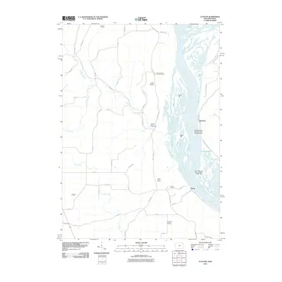 2010 Clayton2010 Print · USGSThe confluence of the Mississippi and Wisconsin rivers is captured here at the start of the 21st century. Researchers can trace the legacy of local families through numerous burial sites like Jenkins Cemetery and explore river features such as Catfish Slough.
 - 2010 Map of Brodtville, 2010 Print
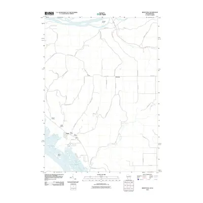 2010 Brodtville2010 Print · USGSIn the driftless area during the early 2000s, this survey documents the meeting of the two great rivers of the Midwest. Genealogists and local historians can trace family plots at Flint Cemetery or explore the riverfront settlement of Bagley and the hollows of Glass Hollow.
 - 2010 Map of Guttenberg, 2010 Print
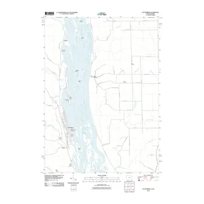 2010 Guttenberg2010 Print · USGSLife along the Upper Mississippi at the turn of the decade centers on the riverfront town of Guttenberg and the nearby village of Glen Haven. Researchers can trace local burial sites like Gockel Cemetery or locate riverside landmarks such as the Iowa State Fish Aquarium and Hatchery.
 - 2010 Map of Turkey River, 2010 Print
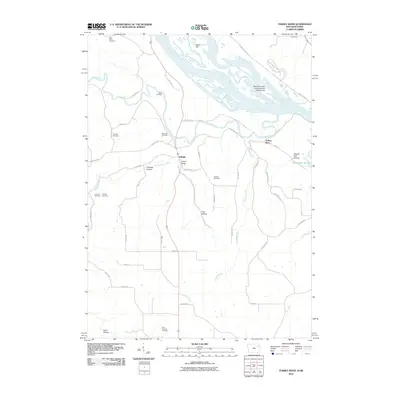 2010 Turkey River2010 Print · USGSThe Mississippi River borderlands are shown in great detail during the early 21st century, from the Iowa bluffs to the Wisconsin shore. Genealogists can locate several family burial grounds like Bierer Cemetery and Myer Property Cemetery or trace the hollows around Millville.
 - 2010 Map of Long Hollow, 2010 Print
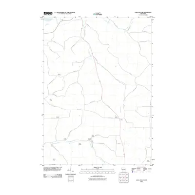 2010 Long Hollow2010 Print · USGSThis Grant County landscape at the start of the 2010s shows a classic pattern of ridge-top roads and deep-valley drainages. Genealogists can locate several historic burial grounds like Crown Hill Cemetery or trace family-named sites such as Munn Hollow and Walker Corner.
 - 2010 Map of Rewey, 2010 Print
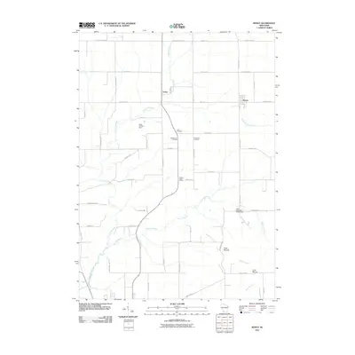 2010 Rewey2010 Print · USGSGrant County farmland and the rising elevations of the Platte Mounds characterize this area during the early twenty-first century. Genealogists and local historians can locate the Walnut Grove School and rural burials at McReynolds Cemetery or Lydia Cemetery.
 - 2010 Map of Ellenboro, 2010 Print
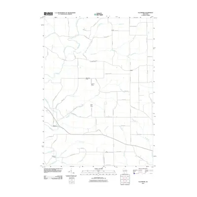 2010 Ellenboro2010 Print · USGSGrant County in the early twenty-first century remains a landscape of deep river valleys and prominent ridges. Genealogists and local historians can trace family ties at Buckwheat Ridge Cemetery, Whig Cemetery, and the historic crossing at Baker Ford Bridge.
 - 2010 Map of Fennimore, 2010 Print
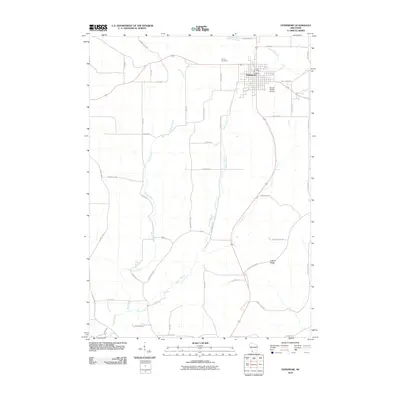 2010 Fennimore2010 Print · USGSFennimore sits at the center of this rural Grant County survey at the start of the 2010s. Researchers can trace the agricultural landscape from Fennimore to Liberty Ridge, locating landmarks like Prairie Cemetery and Stupek Farms Airport.
 - 2010 Map of Mount Hope, 2010 Print
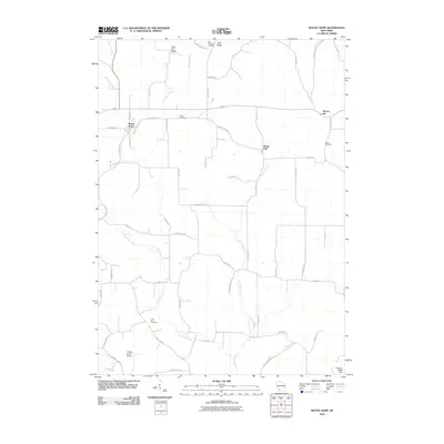 2010 Mount Hope2010 Print · USGSGrant County is shown here in the early twenty-first century, featuring a landscape defined by high ridges and the winding Little Grant River. Researchers can trace local history through sites like Saint Lawrence Cemetery, Mount Ida, and Casler Cemetery.
 - 2010 Map of Stitzer, 2010 Print
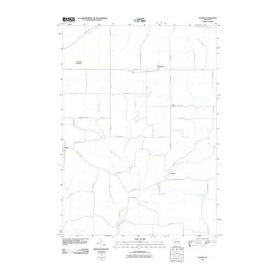 2010 Stitzer2010 Print · USGSGrant County farmstead life and the rural road network are preserved here during the first decade of the millennium. Researchers can trace family ties at Ebenezer Cemetery or explore the origins of small hubs like Stitzer and Annaton.
 - 2010 Map of Dickeyville, 2010 Print
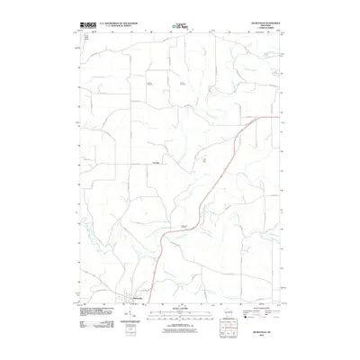 2010 Dickeyville2010 Print · USGSGrant County’s rolling agricultural landscape and river valleys are captured here at the start of the 2010s. Researchers can locate the Little Grant Mine, several pioneer burial sites like Kaump Cemetery, and the village of Dickeyville.
 - 2010 Map of Hurricane, 2010 Print
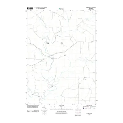 2010 Hurricane2010 Print · USGSGrant County is shown in this early twenty-first-century survey during a period of enduring rural character. Genealogists can locate family-named landmarks like Porters Bridge and Wilcox Bridge or trace lineage through the Hurricane Cemetery and Morrell Cemetery.
 - 2010 Map of Bloomington, 2010 Print
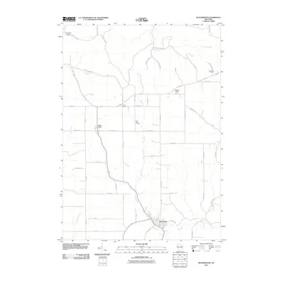 2010 Bloomington2010 Print · USGSGrant County’s rolling agricultural landscape is documented here in the early twenty-first century, centered on the village of Bloomington. Researchers can trace local lineage at Saint Johns Cemetery or Union Cemetery and follow historic routes along Military Ridge.
 - 2010 Map of Blue River, 2010 Print
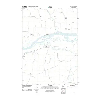 2010 Blue River2010 Print · USGSWisconsin's Driftless Area is mapped here in the early twenty-first century, showing the river valley landscape at Blue River and Port Andrew. Genealogists and local historians can locate several family burial sites like Haskins Cemetery or trace the extent of the Tisdale Homestead.
 - 2010 Map of Kieler, 2010 Print
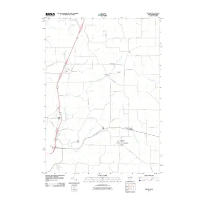 2010 Kieler2010 Print · USGSJamestown and the surrounding Grant County countryside are shown here as they appeared in the early twenty-first century. Genealogists can locate family sites near Sinsinawa Mound, Saint Clara Cemetery, and the old settlement of Sandy Hook.
 - 2010 Map of Castle Rock, 2010 Print
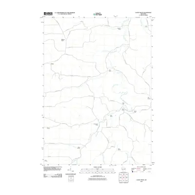 2010 Castle Rock2010 Print · USGSGrant County’s Driftless Area is captured here in the early twenty-first century, showing a landscape defined by deep valleys and high ridges. Genealogists and local historians can trace rural roots through the Pipal, Saint Johns Cemetery, and German Cemetery, or locate the quiet crossroads of Hickory Grove and Homer.
 - 2010 Map of Lancaster, 2010 Print
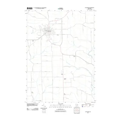 2010 Lancaster2010 Print · USGSGrant County is captured in the early twenty-first century as the agricultural lands around Lancaster remain remarkably consistent. Genealogists can locate several family and community burial sites, from Hampton Cemetery to Aupperle Cemetery, alongside the Platte River.
 - 2010 Map of Boscobel, 2010 Print
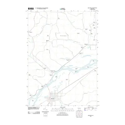 2010 Boscobel2010 Print · USGSThe Wisconsin River valley and its surrounding ridges come alive in this modern survey of Grant County. Researchers can trace land tracts near Boscobel or locate family burial sites at Saint Patrick Cemetery, Haskins Cemetery, and Steele Cemetery.
 - 2010 Map of Muscoda, 2010 Print
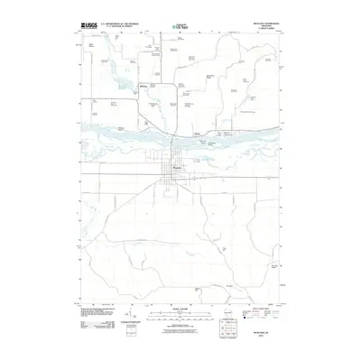 2010 Muscoda2010 Print · USGSThe Wisconsin River valley comes alive in this 2010 survey of the settlements and dairies around Muscoda. Researchers can trace local lineage through sites like Pleasant Hill Cemetery or explore established homesteads like the Miller Homestead and Stadele Homestead.
 - 2010 Map of Wauzeka East, 2010 Print
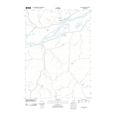 2010 Wauzeka East2010 Print · USGSThe Wisconsin River valley in Southwest Wisconsin is shown here in the early 2010s, capturing the winding waterways and ridge-top roads. Genealogists can trace family plots at Boydtown Cemetery or locate the small settlements of Woodman and Werley.
 - 2010 Map of Montfort, 2010 Print
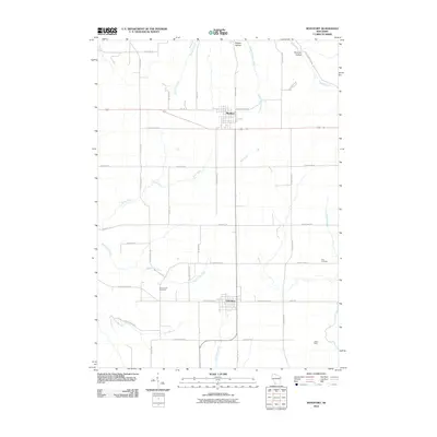 2010 Montfort2010 Print · USGSMontfort and Livingston are captured at the start of the 2010s, showcasing the agricultural and mining heritage of southwestern Wisconsin. Genealogists and historians can trace family burial sites at Zion Cemetery and Rock Church Cemetery or locate the historic Mifflin Mine.
 - 2010 Map of Platteville, 2010 Print
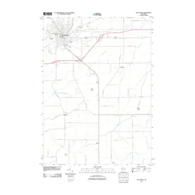 2010 Platteville2010 Print · USGSGrant County is captured in the early twenty-first century as it balances its mining heritage with modern growth. Genealogists and local historians can trace family locations near the Homestead Mine, Smelser Cemetery, and the historic crossroads of Bigpatch.
 - 2010 Map of Cuba City, 2010 Print
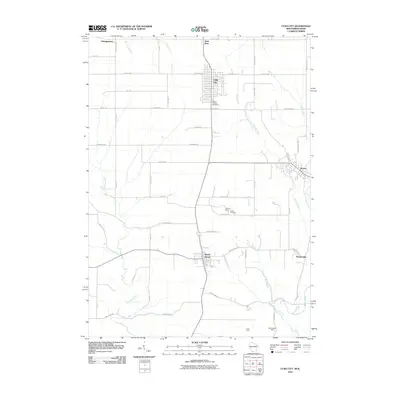 2010 Cuba City2010 Print · USGSThe mining and farming traditions of southwest Wisconsin are captured here in the early twenty-first century. Genealogists and local researchers can locate family sites near Mount Pleasant Cemetery or trace the legacy of the Burkett Mine and Northwestern Mine.
 - 2010 Map of Beetown, 2010 Print
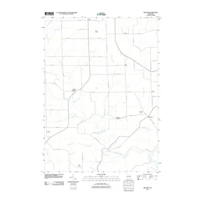 2010 Beetown2010 Print · USGSGrant County is shown at a contemporary moment when its deep agricultural roots and prairie landscapes remain clearly defined. Genealogists can trace family connections through numerous rural landmarks like Blake Prairie Cemetery, Saint Marys Cemetery, and the settlement of Beetown.
 - 2010 Map of Wauzeka West, 2010 Print
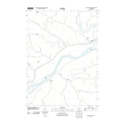 2010 Wauzeka West2010 Print · USGSThe confluence of the Wisconsin and Kickapoo rivers defines this Crawford County landscape in the early 2000s. Local researchers can trace family landmarks and rural settlements from Wauzeka down to Millville, including Sacred Heart Cemetery and Harris Island.
Showing maps 1-25 of 155
Top cities of Grant County
- Platteville historical maps
- Lancaster historical maps
- Boscobel historical maps
- Fennimore historical maps
- Jamestown historical maps
- Cuba City historical maps
See more
Frequently asked questions
- What are the different types of historical maps available for Grant County?
- What is the oldest map of Grant County?
- Where can I purchase historical maps of Grant County for my home or office?
- Where can I download high-res historical maps of Grant County?
- Are there historical topographic maps available for Grant County?
- Is there historical aerial imagery available for Grant County?
- Where are historical maps of Grant County sourced from?